
Mt. Apo Hiking Guide 2026
To the indigenous Manobo and Bagobo tribes, it is “Apo Sandawa”—the sacred ancestor. To the Filipino mountaineer, it is the ultimate benchmark. Standing on the summit of Mt. Apo isn’t merely about reaching the country’s highest point; it is about conquering a potentially active solfataric stratovolcano. From the sulfur-choked vents of the Boulder Face to the moss-draped canopy of the Kidapawan side, this mountain demands respect.
This Mt. Apo hiking guide covers everything you need for the 2026 season, including the strict new medical protocols, updated LGU permit systems, and the reality of the “no walk-in” policy.
Unlike singular peaks like Mayon, Apo is a massive, complex landform straddling a tri-boundary between Davao City, Davao del Sur (Digos/Sta. Cruz), and North Cotabato (Kidapawan/Magpet). Understanding which administrative face you are climbing is just as critical as your physical training, as each Local Government Unit (LGU) enforces its own distinct closure dates and fees.
Quick Specs: The Monarch of the South
The hike to Mt. Apo is rated a 7/9 Difficulty (Major Climb) and is not recommended for absolute beginners. A standard traverse requires 3 days of trekking, involving a grueling assault on loose volcanic rock (The Boulders) and slippery, mud-heavy descents in the mossy forest. You must be physically prepared for altitude gains of over 1,500 meters and summit temperatures dropping to 2°C.
| Feature | Specification |
| Elevation | 2,954 MASL (Highest in the Philippines) |
| Location | Davao del Sur & North Cotabato |
| Difficulty Level | Major Climb (7/9 Difficulty) |
| Trail Class | 3-4 (Significant Scrambling, Scree, River Crossing) |
| Standard Duration | 3 Days / 2 Nights |
| Best Months | March to May (Dry Season) |
| LGU Jurisdiction | Sta. Cruz, Digos City, Kidapawan City, Magpet |
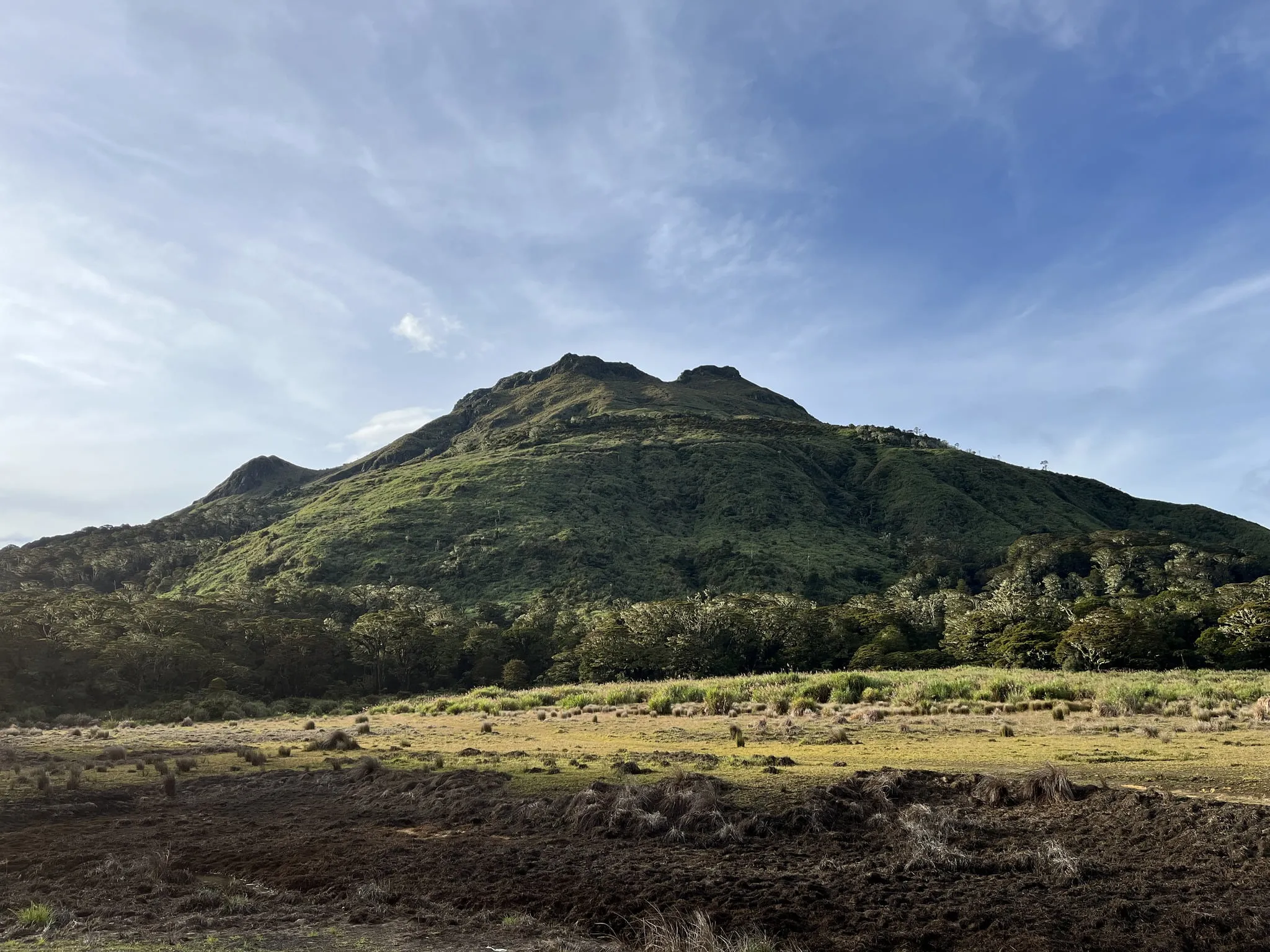
While the 2,954 MASL elevation is the headline stat, the terrain is what defines the struggle. The summit plateau is actually a “multi-peak” structure, comprising the Mother Peak, Davao City Peak, and Kidapawan Peak. Navigating between these points often requires traversing the caldera rim, where the air is thin and the wind chill can be severe.
It is also vital to note that Mt. Apo Natural Park (MANP) strictly enforces a carrying capacity (often capped at 50 climbers per trail per day). The days of spontaneous climbs are over; in 2026, securing a slot requires strategic planning months in advance.
Table of Contents
Pre-Climb Requirements (2026 Bureaucracy)
Booking Mt. Apo permits for 2026 requires contacting the specific Local Government Unit (LGU)—such as Sta. Cruz, Digos, or Kidapawan—at least 1-2 months in advance. Walk-ins are strictly prohibited due to the daily cap of 50 climbers per trail. A “Fit to Climb” medical certificate issued within 1-2 weeks of the hike is mandatory, and hikers over 40 face rigorous vitals checks at the jump-off.
The Golden Rule: No Permit, No Entry
The narrative of “open access” to Mt. Apo is a relic of the past. The Protected Area Management Board (PAMB) now enforces a strict carrying capacity to prevent environmental degradation and forest fires. If you show up at the Sitio Baras or Lake Agco jump-off without a confirmed booking, you will be turned away.
Securing a Mt. Apo permit is decentralized. You do not book with a national agency; you must deal directly with the LGU managing your specific entry point. This is often where DIY hikers get confused. If you plan to enter via the Boulder Face, you must book with Sta. Cruz. If you are taking the Lake Venado route via the west, you coordinate with Kidapawan.
Essential Contact Channels (2026)
Since slots for the peak season (March to May) fill up rapidly, I recommend initiating contact at least 2 months prior. Here are the direct lines for the major trailheads:
Sta. Cruz Tourism (Boulder Face/Sibulan Trail):
Facebook: Search for @davsurtourism or @spectacularstacruz
Note: This is the most competitive permit due to the popularity of the Boulders.
Kidapawan City Tourism (Lake Agco/Koong Trail):
Email: infokidapawancity@gmail.com
Phone: (064) 421-3495
Digos City Tourism (Kapatagan Trail):
Email: digoscitytourism@gmail.com
The “Fit to Climb” Medical Barrier
In 2026, the medical requirement is not just a formality—it is a safety gate. Following past cardiac incidents involving older hikers, the LGUs have tightened scrutiny. You must present a Medical Certificate stating you are “Fit for Strenuous Hiking” or “Fit for High Altitude.”
For hikers aged 40 and above (and strictly for those 60+), expect a secondary health check at the registration area. Tourism officers will check your blood pressure and heart rate before allowing you to step on the trail.
My Insider Tip: Do not use an old medical certificate. I personally recommend getting your medical clearance no earlier than 1 week before your trip. I’ve seen groups delayed at the Kapatagan jump-off because a member’s certificate was dated a month prior, forcing them to scramble for a local doctor in Digos City at the last minute.
How to go to Mt. Apo Jump-Off (The Gateway)
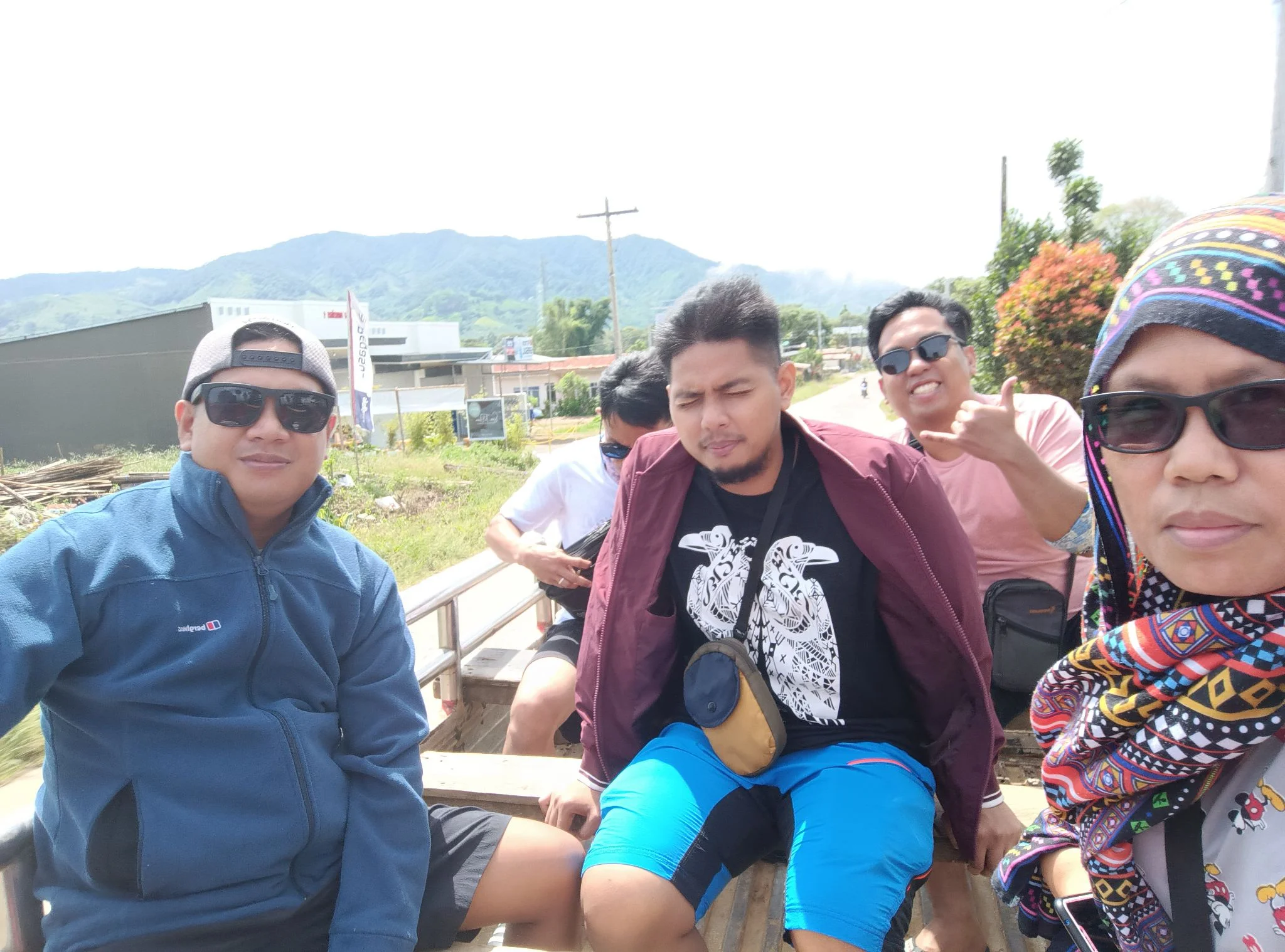
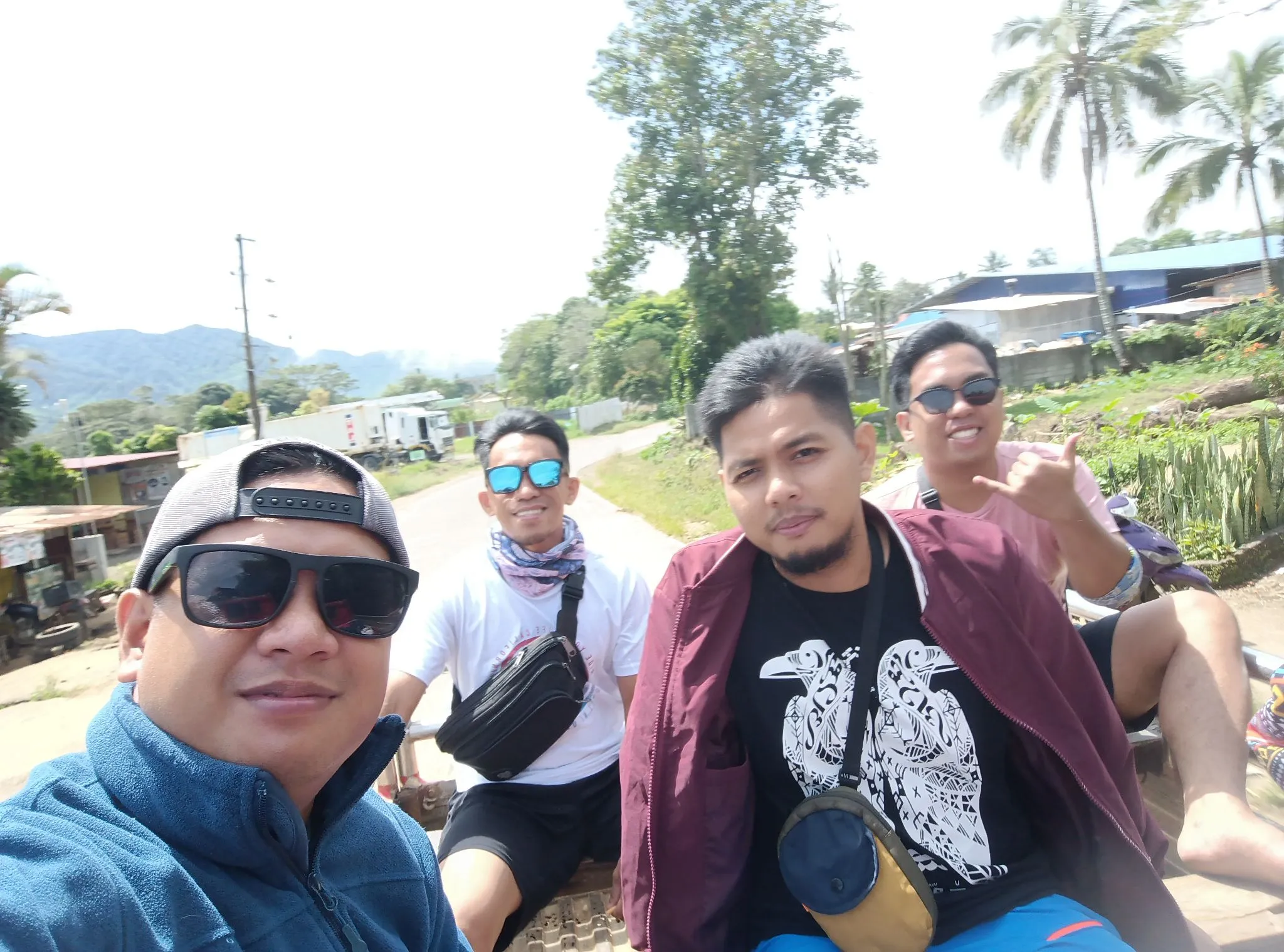
To reach Mt. Apo, take a bus from Davao City Ecoland Terminal. For the Sta. Cruz/Kapatagan trail, board a bus to Digos City (P100-P160), then transfer to a “Monster Jeep” or van at the Digos Old Terminal. For the Kidapawan trail, take a Cotabato-bound bus (P200-P310) to Kidapawan City, then hire a habal-habal to Lake Agco.
The logistical nerve center for any Mt. Apo DIY Guide itinerary is Davao City. Whether you fly into Francisco Bangoy International Airport (DVO) or arrive by land, your journey to the trailhead begins at the Davao City Ecoland Bus Terminal.
Option A: The Southern Approach (Digos/Sta. Cruz)
This is the most frequent route for hikers targeting the Boulder Face or the Kapatagan trail.
Step 1: Davao to Digos City At Ecoland Terminal, look for buses operated by Davao Metro Shuttle, Mindanao Star, or Yellow Bus Line. Departures are frequent (every 20-30 minutes). The ride takes about 1.5 to 2 hours and costs approximately P100 to P160 for air-conditioned units.
Step 2: Digos to Kapatagan Alight at the Digos City Overland Transport Terminal, then take a tricycle to the Digos Public Market (locally called the “Old Terminal”). Here, you will find vans and the legendary “Monster Jeeps”—modified vehicles built to handle the steep highland roads. Fare is roughly P100 – P200 depending on the load.
Step 3: The Final Mile From Kapatagan proper, hire a habal-habal (motorcycle taxi) to reach the specific jump-off at Sitio Baras or Sitio Mainit. The standard rate is P150 – P300 per person.
My Insider Tip: The road to Kapatagan is winding and steep. If you are prone to motion sickness, sit in the front of the van. Also, if you arrive in Digos late in the afternoon (past 4:00 PM), public vans become scarce, and you might be forced to “pakyaw” (charter) a habal-habal for P500+.
Option B: The Western Approach (Kidapawan)
Choose this route if you are starting with the Lake Agco or Magpet trails.
Step 1: Davao to Kidapawan City Board a bus bound for Cotabato City or directly to Kidapawan. Mindanao Star is a reliable operator here. The trip is longer, taking 2.5 to 3 hours, with a fare ranging from P200 to P310.
Step 2: Kidapawan City to Lake Agco Upon arrival at the Kidapawan transport terminal, take a tricycle (approx. P15) to the Habal-Habal Terminal for Barangay Ilomavis (historically located near the Iglesia ni Cristo church).
Step 3: Ascent to the EDC Complex The ride to Lake Agco takes about 45 minutes on a steep but paved road leading to the Energy Development Corporation (EDC) geothermal site.
My Insider Tip: The drivers here operate on a “fill-up” basis. The standard fare is P85 – P100 per head, but they usually wait for 3 passengers. If you are solo or in a rush, you will have to pay the “Special” rate of P250 – P300 to leave immediately.
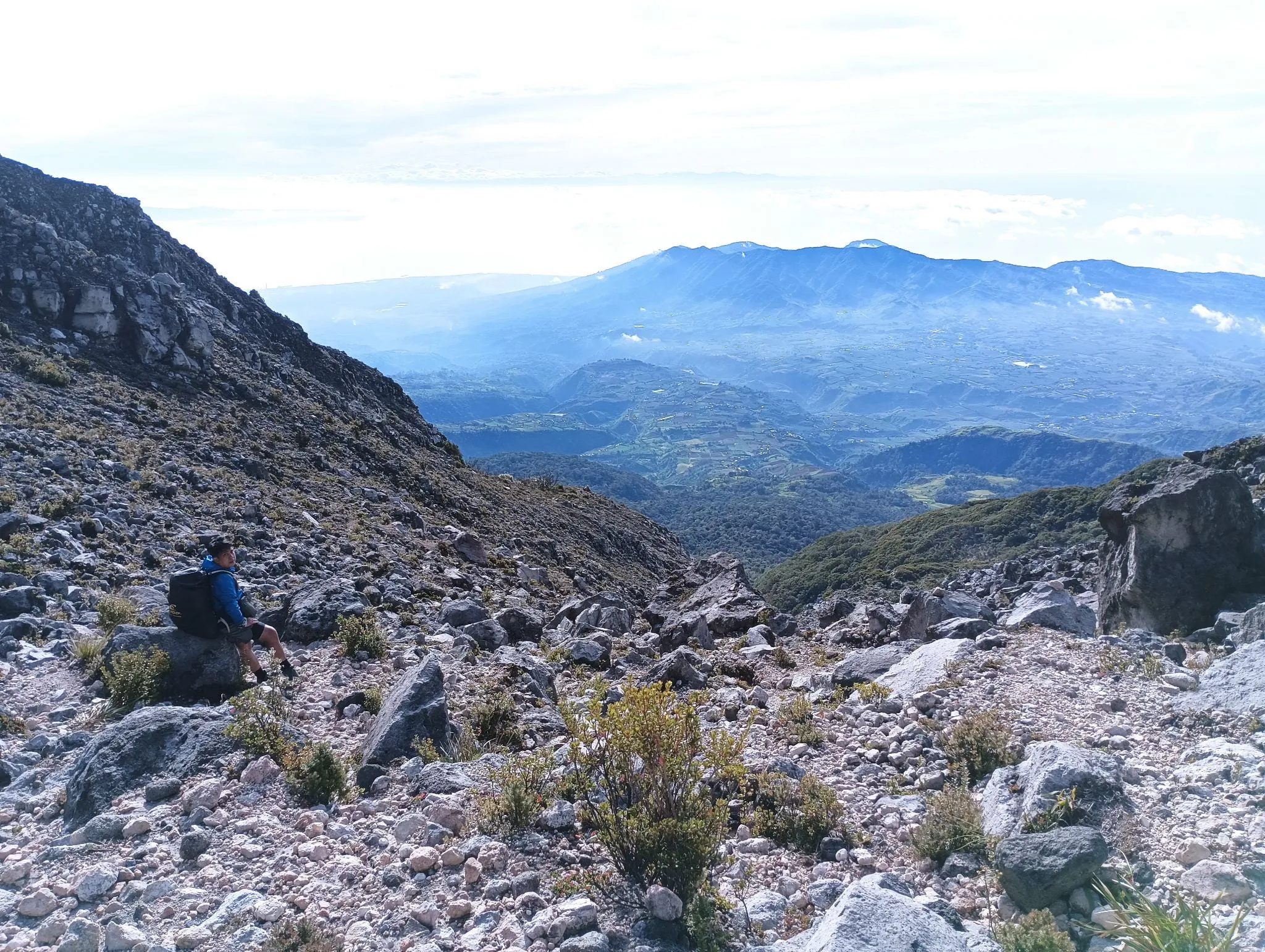
Mt. Apo Trail Features & Terrain Analysis
The Sta. Cruz (Sibulan) trail is famous for the “Boulders”—a steep, exposed volcanic rock face with active sulfur vents, offering dramatic views but intense heat. In contrast, the Kidapawan (Koong) trail is defined by dense mossy forests, technical river trekking along the Marbel River, and the scenic but swampy Lake Venado campsite.
The Three Faces of Apo
Mt. Apo is not a single trail experience; it is a hydra of terrain types. Depending on your chosen Mt. Apo trail entry point, you will face either a volcanic desert or a hydrological gauntlet.
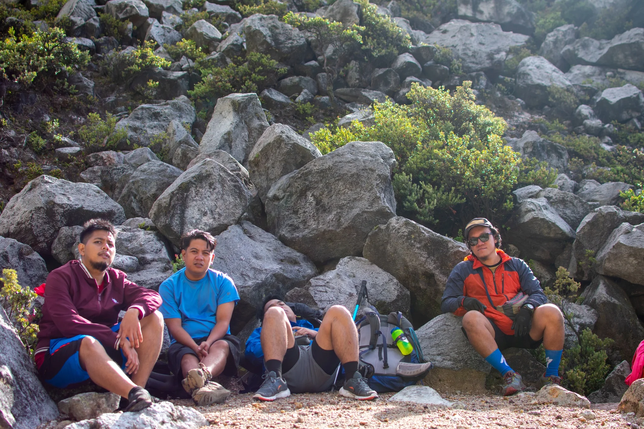
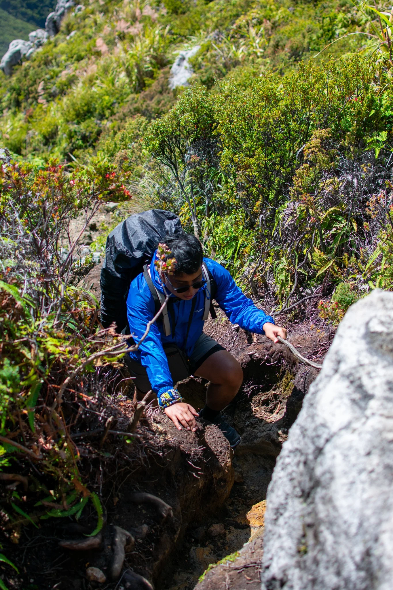
Sta. Cruz (The Boulders): This is the “Instagram” route. Starting from Sitio Baras, you hike through the twisted roots of the Tinikaran Forest before emerging onto the Boulder Face at roughly 2,400 MASL. Here, the trail becomes a 3-kilometer scramble over jagged andesite rocks with angles reaching 60-80 degrees.
Kidapawan (The Water): Known as the “wet side,” this route from Lake Agco forces you to navigate the Marbel River. It’s not just a crossing; it’s a river trek. You will hop between slippery boulders and wade through freezing water, making hiking sandals essential.
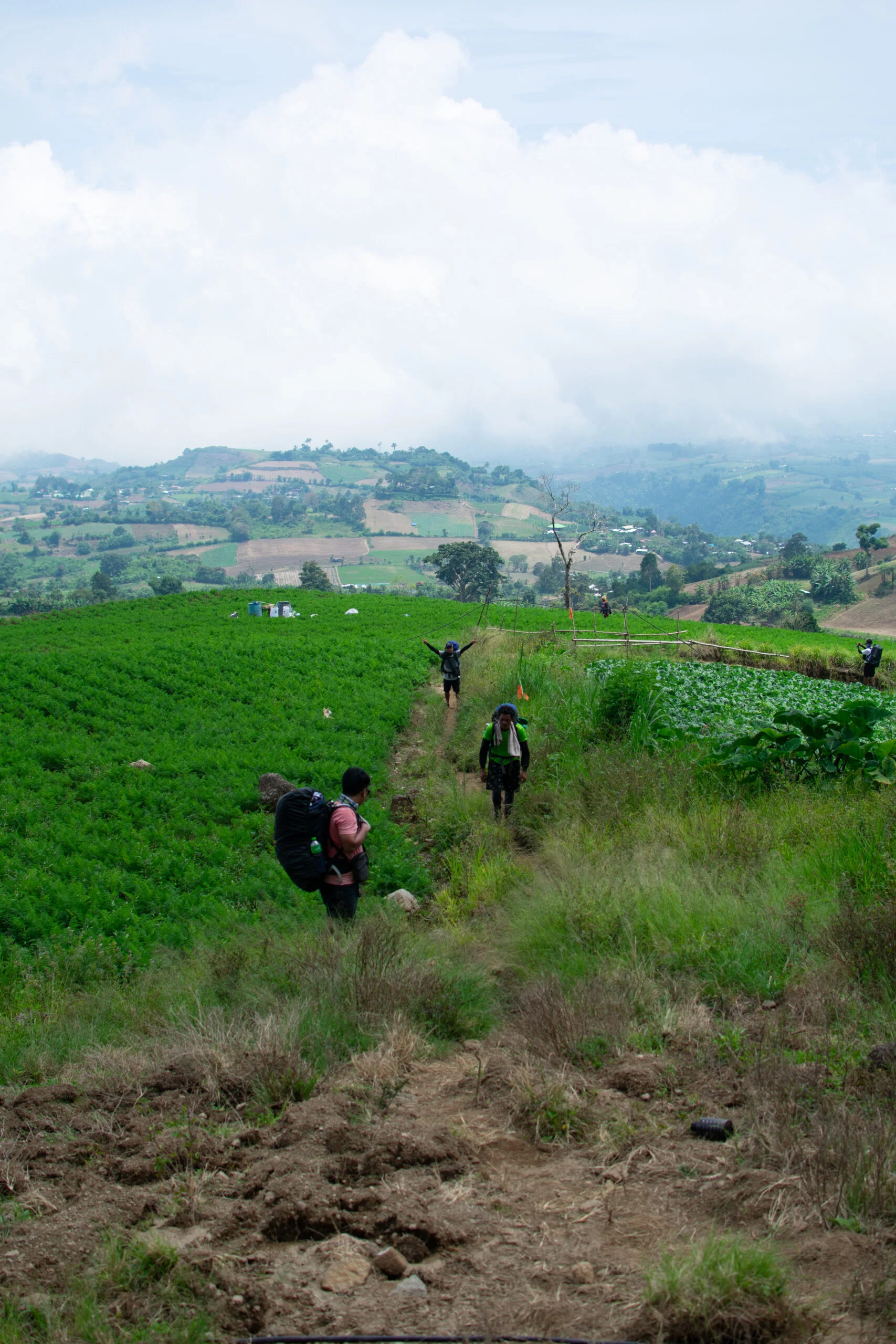
Kapatagan (The Farm): This trail begins with a long, exposed walk through vegetable plantations (carrots and cabbages) before merging with the Boulder Face near the crater rim.
My Insider Tip: The Boulder Face is deceptively dangerous. The rocks are stable, but the heat is punishing. I always wear thick gardening gloves here—the volcanic rock is sharp enough to shred expensive trekking gloves, and the surfaces can get hot near the vents.
Campsite Showdown: Tinikaran vs. Venado
Your overnight experience depends entirely on where you pitch.
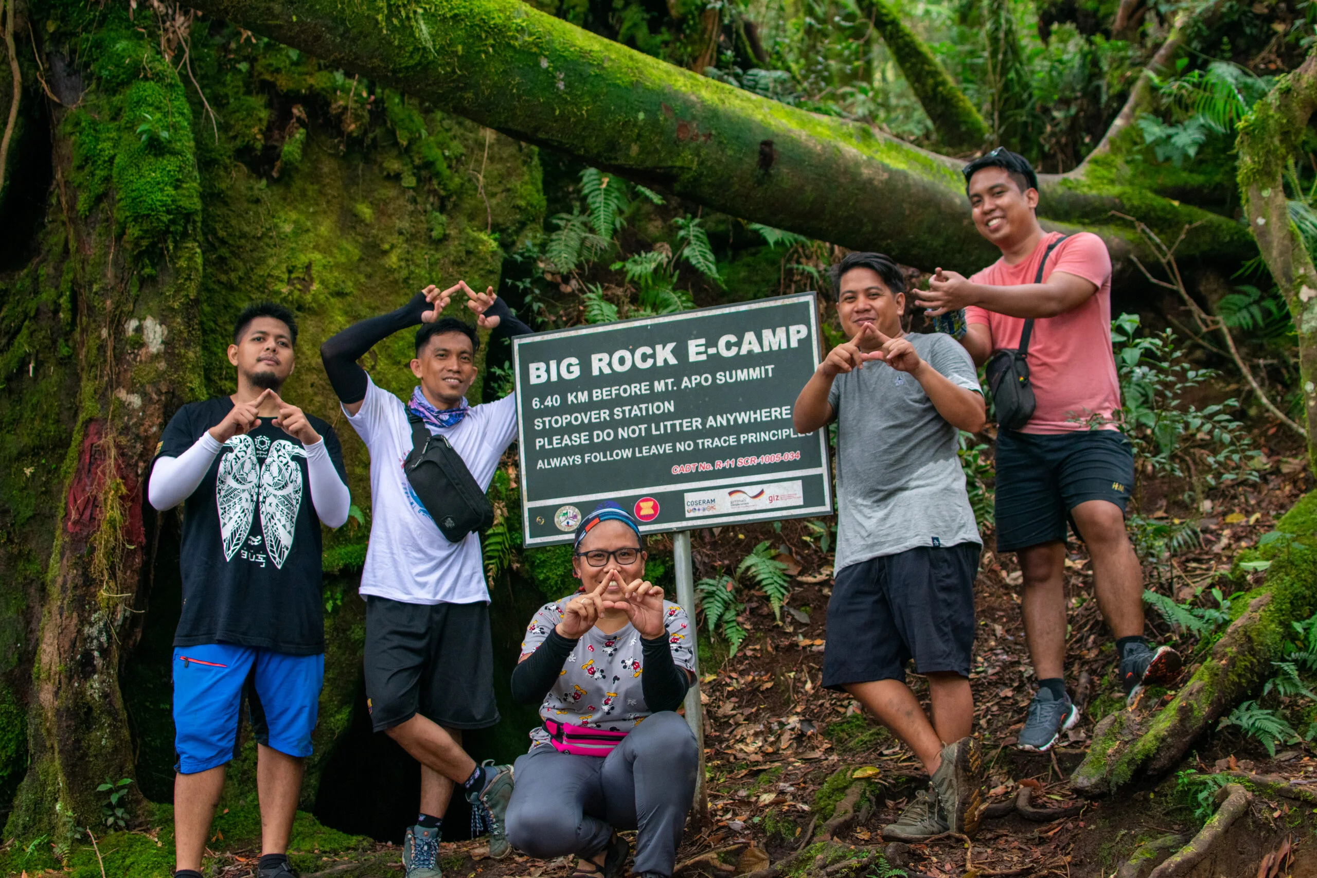
Tinikaran Camp (Sta. Cruz Side): Located within the stunted forest. It offers protection from the wind, but space is tight. Tents are often pitched on uneven root systems. Water is available from a nearby spring, usually a 10-minute trek down.
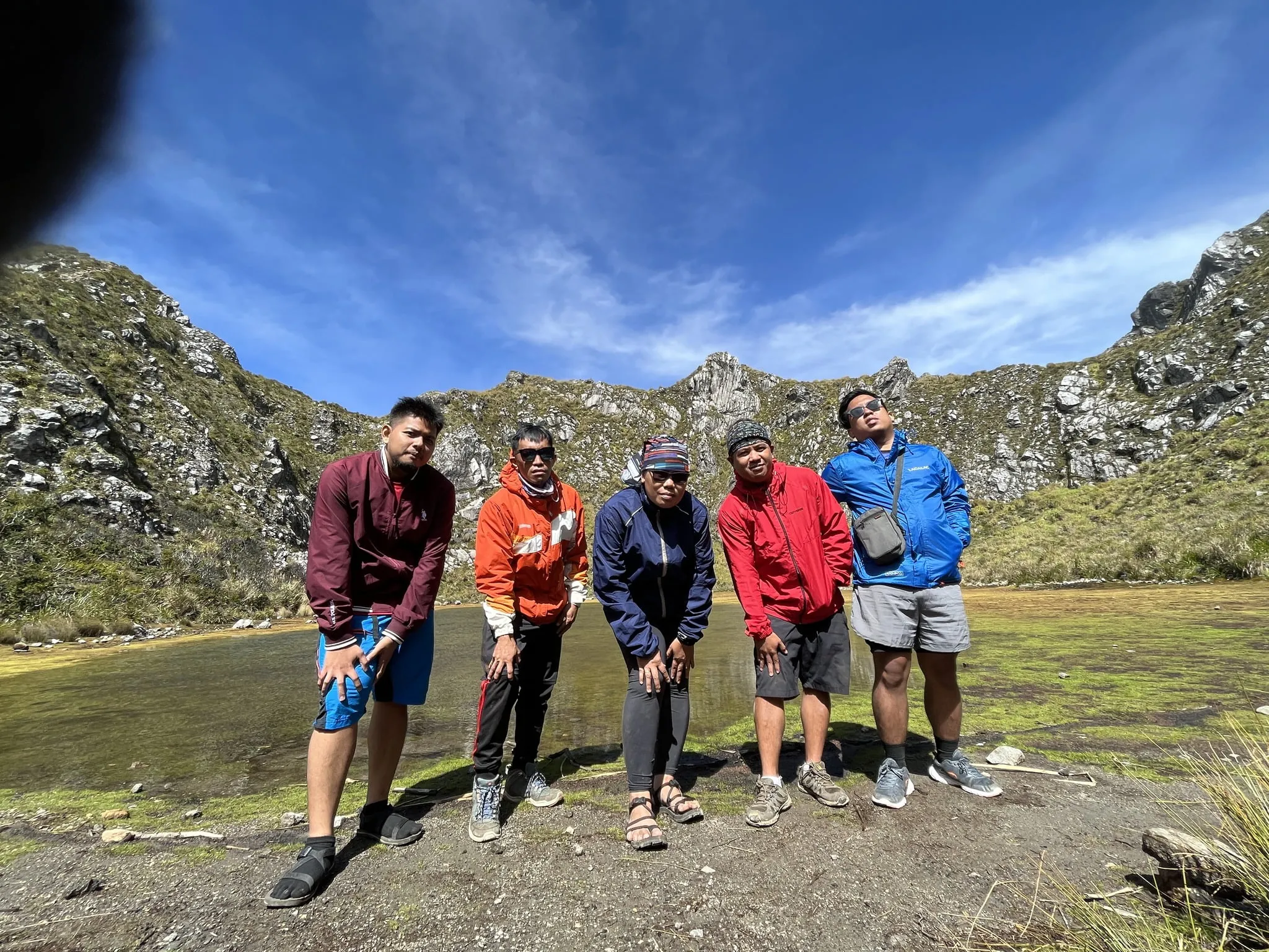
Lake Venado (Kidapawan Side): A massive endorheic lake sitting at 2,194 MASL. It is a wide, grassy plateau perfect for “socials.” However, it is an open wind tunnel. When it rains, the ground becomes a swamp, and the “feels like” temperature drops rapidly.
Critical Hazards (Survival Mode)
Do not underestimate the elements on Mt. Apo.
Hypothermia: At the summit (2,954 MASL), night temperatures drop to 2°C – 5°C. If you get wet from sweat or rain and stop moving at Lake Venado, hypothermia can set in within minutes.
Sulfur Toxicity: The vents on the Boulder Face emit Sulfur Dioxide (SO2). If the wind shifts, the gas can cause coughing and dizziness. I carry an N95 mask or a thick buff specifically for this section—it’s not just for dust.
Mt. Apo Itinerary Options: The Traverse
The “Traverse” (entering via Sta. Cruz/Kapatagan and exiting via Kidapawan) is the definitive way to climb Mt. Apo. This 3-day itinerary maximizes the experience by ascending the volcanic Boulder Face and descending through the lush Marbel River and Lake Venado. It requires coordination with two different LGUs but rewards you with the full spectrum of the mountain’s terrain.
Why Choose the Traverse?
Most veteran hikers, myself included, prefer the Sta. Cruz to Kidapawan route. Why? Because climbing up the loose scree of the Boulder Face is hard, but climbing down it is dangerous and knee-wrecking. It is far safer to ascend the steep volcanic rock and descend via the softer (albeit muddier) forest trails of the West.
Mt. Apo 3 Day Itinerary (Traverse)
Note: This itinerary assumes a 04:00 AM departure from Davao City to beat the registration queues.
| Time | Activity | Elevation / Notes |
| Day 1 | The Approach & The Forest | |
| 02:00 AM | Depart Davao Ecoland Terminal for Digos City. | First trip usually leaves 2 AM. |
| 06:00 AM | Arrival at Digos City. Breakfast at terminal. | Stock up on last-minute supplies. |
| 07:30 AM | Arrival at Kapatagan/Sitio Baras Jump-off. | Registration & Porter Assignment. |
| 09:00 AM | Start Trek via Farm Trail. | Hot and dusty open trail. |
| 12:00 PM | Lunch at Basakan Area (Old Settlement). | |
| 03:00 PM | Arrival at Tinikaran Camp 1. | Set up camp. Fetch water (10 mins away). |
| Day 2 | The Summit Assault | |
| 01:00 AM | Wake up call. Light breakfast. | Headlamps required. |
| 02:00 AM | Start assault on the Boulder Face. | 80-degree ascent. Sulfur vents present. |
| 05:30 AM | Arrival at Mother Peak (Summit). | Sunrise Viewing. Photos at marker. |
| 07:00 AM | Breakfast at Peak / Explore Crater Lake. | Visit Davao Peak for crater views. |
| 09:00 AM | Start Descent to Lake Venado. | Steep drop from ridge to plateau. |
| 3-4:00 PM | Arrival at Lake Venado. | Set up Camp 2. Socials & recovery. |
| Day 3 | The River Descent | |
| 06:00 AM | Break Camp. “Leave No Trace” check. | |
| 07:00 AM | Start Descent via Kidapawan Trail. | Mossy forest section. |
| 12:00 PM | Lunch at Koong Camp or River Bank. | Marbel River Crossing begins here. |
| 02:00 PM | Arrival at Lake Agco (Jump-off). | Hot Spring Dip (Optional). Wash up. |
| 04:00 PM | Habal-habal to Kidapawan City. | “Special” trip if no other passengers. |
| 07:00 PM | Arrival in Davao City. | Back to civilization. |
My Insider Tip: On Day 2, the descent from the summit to Lake Venado is deceptively steep. Many hikers rush this because they see the lake and think it’s close. Take your time. Also, during the Marbel River crossing on Day 3, keep your electronics in a dry bag. I’ve seen climbers slip on the wet boulders and submerge their entire packs.
Mt. Apo Budget Breakdown (2026 Estimates)
A safe DIY budget for a 3-day Mt. Apo climb ranges from P7,000 to P9,000 per person (group of 5). This covers the increased LGU permit fees (P2,000 – P3,000), mandatory guide fees (P1,000/day), and porter services. Full-service package tours typically start at P12,000 but eliminate the logistical friction of permit processing and transport.
Climbing Mt. Apo is no longer a budget backpacking trip. The professionalization of local guides and strict environmental fees have pushed costs up. Below is the estimated breakdown for a DIY group of 5 hikers doing the standard 3-day Traverse.
The “Real” Cost of Climbing (Per Person)
Note: Prices are estimates based on 2026 LGU ordinances and may fluctuate slightly.
| Cost Category | Estimated Rate (PHP) | Notes & Context |
| Permit / Reg. Fee | P2,000 – P3,000 | Highest at Sta. Cruz; includes envi fees. |
| Exit Fee | P300 – P500 | Paid to the exit LGU (e.g., Kidapawan). |
| Guide Fee | P600 – P900 | (Shared) Rate is P1,000/day per group of 5. |
| Porter Fee | P1,800 – P3,000 | (Personal) Rate is P1,000/day (Max 15kg). |
| Bus Fares | P400 – P600 | Roundtrip Davao-Digos/Kidapawan-Davao. |
| Habal-Habal | P400 – P600 | Roundtrip to/from Jump-offs. |
| Food (DIY) | P1,000 – P1,500 | Trail food + 6 camp meals. |
| Total Safe Budget | ~P7,500 – P9,000 | Excludes airfare to Davao. |
The Hidden “Friction” Costs
Budgeting for Mt. Apo hiking expenses often fails because of the unlisted costs. Here is where your money leaks:
The Exit Fee Surprise: If you Traverse (e.g., Sta. Cruz to Kidapawan), you pay an entrance fee and an exit fee. Many hikers forget to set aside that extra P300 – P500 cash for the receiving barangay at Lake Agco.
Porter “Overload” Penalties: Porters are strict about the 15kg limit. If your bag weighs 18kg at the weigh-in station in Kapatagan, you won’t just pay a small fee; you might be forced to hire a second porter or pay a “premium” rate (often P500/day extra).
The “Special” Habal-Habal Ride: If you arrive at the Digos Terminal late (past 5 PM) or descend to Lake Agco after dark, drivers will charge “Pakyaw” rates. A P100 ride can instantly become P300.
My Insider Tip: Bring smaller denominations (P50s and P100s). The habal-habal drivers and small sari-sari stores at Lake Agco rarely have change for a P1,000 bill. Also, I strictly advise weighing your pack at home. If you are over the limit, remove the “nice to haves” (like that extra camping chair) before you fly to Davao.
What to Bring (The Gear List)
Essential gear for Mt. Apo includes heavy-duty garden gloves for the sharp volcanic Boulders, a thermal jacket rated for 2°C summit temperatures, and an N95 mask or Buff for protection against sulfur fumes. Crucially, you must pack hiking sandals for the Marbel River crossing on Day 3, as waterproof boots will inevitably fail during the waist-deep wading.
Packing for Mt. Apo is tricky because you are preparing for three distinct environments: the humid rainforest, the freezing alpine summit, and the jagged volcanic face. Standard hiking kits often fail here because they lack protection against the specific geological hazards of the Sta. Cruz and Kidapawan trails.
The “Non-Negotiables” (Safety Gear)
If you forget these, your climb will range from “miserable” to “dangerous.”
Gloves (The “Garden” Variety): Do not bring expensive trekking gloves to the Boulder Face. The jagged andesite rocks will shred synthetic fabric in minutes. I personally use—and highly recommend—cheap cotton garden gloves with rubberized palms (available at any hardware store for ~P50). They offer better grip and protection against the hot rocks.
Thermal Layers (2°C Defense): At 2,954 MASL, the wind chill is severe. The moment you stop moving at the summit or Lake Venado, you need to layer up. I pack a fleece mid-layer and a windproof shell. Cotton hoodies are useless here; once wet with sweat, they become “refrigerators” on your skin.
Face Mask / Thick Buff: The sulfur vents near the crater are active. When the wind shifts, the Sulfur Dioxide (SO2) is choking. An N95 mask is the gold standard, but a thick, damp Buff over your nose can work in a pinch.
The Footwear Strategy (Boots vs. Sandals)
The most common mistake I see on the Mt. Apo traverse is hikers trying to keep their feet dry on Day 3.
Primary Footwear: Trail running shoes (e.g., Hoka Speedgoat or Salomon Speedcross) are superior to heavy boots here. You need drainage. The mud in the Kidapawan forest is clay-like and deep; heavy boots just become anchors.
The River Crossing Essential: On Day 3, you will navigate the Marbel River. This is not a rock-hopping exercise; you will be wading through water that can reach waist-deep levels. Switch to hiking sandals (like Sandugo or Tribu) before you hit the riverbank. Walking on wet river stones in bare feet is a recipe for a sliced toe and an infection.
My Insider Tip: Pack a “Summit Kit” in a separate dry bag at the top of your pack. This should contain your windbreaker, gloves, and a chocolate bar. When you hit the Boulders at 4:00 AM, it’s freezing and windy. You don’t want to be digging through your main pack in the dark while balancing on a 60-degree slope.
Where to Eat & Recover (Post-Climb)
After conquering the Mt. Apo traverse, recovery begins at the Lake Agco Mahomanoy Mountain Resort with a dip in the sulfuric hot springs (P25 – P50 entrance). For the celebratory post-hike feast, head to Penong’s in Kidapawan City for unlimited rice BBQ, or stop by the legendary Mers Restaurant in Digos City for their Lechon Kawali and Halo-Halo before the bus ride back to Davao.
Completing the Mt. Apo hike is a physical trauma, and the recovery phase is just as important as the climb itself. Whether you exit via the Kidapawan or Digos side, there is a specific culinary tradition that local mountaineers follow to replenish calories.
The Immediate Relief: Lake Agco Hot Springs
If you are doing the Traverse and exiting via the Magpet/Kidapawan trail, you will literally walk right into the Lake Agco Mahomanoy Mountain Resort.
The Ritual: Before heading back to the city, pay the roughly P25 – P50 entrance fee to soak in the hot sulfuric pools. The water here is heated by the same geothermal vent system that powers the nearby EDC Plant.
Why it works: The sulfur-rich water is excellent for soothing the muscle micro-tears from the 9-hour descent. Just be warned: the smell of rotten eggs (sulfur) will stick to your skin for hours, even after a shower.
Kidapawan City: The Tinola Cure
Once you catch a habal-habal down to Kidapawan City proper, skip the fast food chains.
The Order: Look for local karenderyas or restaurants serving Tinolang Manok (Native Chicken). After 3 days of eating preserved trail food and canned goods, the hot ginger broth and fresh native chicken are the ultimate comfort food.
The Group Option: If the team is starving, Penong’s Barbecue Seafoods & Grill along the National Highway is the standard “socials” spot. Their unlimited rice and Grilled Chicken (Inasal) offer the high-carb reloading you need before the 3-hour bus ride back to Davao Ecoland Terminal.
Digos City: The Mers Stopover
If you exited back via Kapatagan (or if your bus stops in Digos), a visit to Mers Restaurant (Mers Foods) is almost mandatory for hikers in Davao del Sur.
The Legend: Located along the Davao-Cotabato Road, this spot has been feeding hikers for decades.
Must-Try: Order their crispy Lechon Kawali and pair it with their massive special Halo-Halo. The sugar rush from the Halo-Halo is exactly what your body craves after burning 5,000+ calories on the Boulder Face.
My Insider Tip: If you are exiting via Lake Agco, try to buy fresh vegetables (sayote or carrots) from the farmers near the jump-off. They are significantly cheaper (often P20/kilo) than in the city markets. I usually fill the empty space in my backpack with produce to bring home as pasalubong.
Frequently Asked Questions (FAQ)
Hiking Mt. Apo without a guide is strictly prohibited under the “No Guide, No Entry” policy enforced by the Protected Area Management Board (PAMB). All climbers must hire an accredited local guide (standard ratio 1:5) arranged through the Tourism Office upon booking. Checkpoints at Sitio Baras and Lake Agco verify this before allowing entry.
Can I really not climb without a guide?
Absolutely not. The days of “ninja” climbing are over. If you attempt to bypass the registration at Sitio Baras or Kapatagan, you will be stopped at the Ranger Station. This policy exists for two reasons: safety (the weather on the Boulder Face changes rapidly) and economic support for the local Indigenous communities who depend on guiding for their livelihood.
Is there cell signal on Mt. Apo?
Connectivity is a mixed bag. You will likely have strong 4G/LTE signal (Smart is often more reliable than Globe here) while on the Boulder Face and at the Summit itself, thanks to the line-of-sight to Digos City. However, Lake Venado is a massive dead spot. Once you descend from the summit ridge into the campsite, expect zero signal. Inform your family beforehand that you will be offline for the night.
Can beginners climb Mt. Apo?
Technically, yes, but I strongly advise against making it your first mountain. Mt. Apo difficulty is rated 7/9. While non-mountaineers do summit, they often suffer immensely on the descent. If you are a beginner, you must commit to 2 months of cardio training (running or stair climbing) and ideally complete a practice hike on a minor peak like Mt. Batulao or Mt. Kulis to break in your shoes.
Is the water safe to drink?
No. While the water at Tinikaran Camp and Gudi-Gudi springs looks clear, the high volume of human traffic in recent years has compromised the water table. Coliform bacteria is a real risk. I never drink directly from the source. Always use a portable filtration system (like a Sawyer or Katadyn) or boil the water for at least 3-5 minutes before consuming.
My Insider Tip: For the “call of nature,” be prepared. There are no functional toilets at the high camps. You will be using the “cat hole” method (digging a hole). Please bring a trowel and pack out your used tissues in a ziplock bag. Do not bury plastic/wet wipes; they do not decompose in the high-altitude cold.
Conclusion
The climb to Mt. Apo’s summit at 2,954 MASL is a logistical maze and a physical test, but the reward is witnessing the perfect triangular shadow of the mountain projected over North Cotabato at sunrise. To join the 2026 season, finalize your LGU booking now, respect the “Leave No Trace” mandate, and start your cardio training immediately.
When you are gasping for air on the Boulder Face at 2,400 MASL, inhaling sulfur fumes with your legs burning, you will likely question why you signed up for this. I have been there, and I promise you: the doubt vanishes at 5:30 AM. Standing at the Mother Peak, watching the sun rise and cast Mt. Apo’s perfect pyramidal shadow across the cloud deck and the province of North Cotabato, is a spiritual reset that no other Philippine mountain can offer.
However, the mountain demands more than just endurance; it demands respect. We are guests in the domain of Apo Sandawa. The “Leave No Trace” principle is not just a rule enforced by the PAMB; it is the rent we pay for the privilege of standing on the roof of the Philippines. Whether you are on the Sta. Cruz scree or the Lake Venado camp, bring down every single candy wrapper.
Ready to Summit?
Don’t let the paperwork scare you. Go back to Section 2, choose your entry point (Sta. Cruz for the views, Kidapawan for the challenge), and contact the Tourism Office to secure your permit. The 2026 climbing season slots are limited and filling up fast.
Start your stair climbing training today, and I’ll see you at the top!
How to Train for Mt. Apo?
Mt. Apo is a major climb (7/9), and leg endurance is your biggest asset. Before attempting the 2,954-meter ascent, we highly recommend testing your limits on these major training grounds in Luzon:
Test Your Endurance (The 36km Grinder): If you can survive the endless rocky road and elevation gain of the “Poor Man’s Pulag,” your legs are ready for the Apo Boulder Face.
 Read the Guide: Mt. Tapulao Travel Guide: Surviving the 36km Challenge
The Scenic Prep (Pine Forest Traverse): Looking for a similar multi-day camping vibe with a slightly lower difficulty rating? This traverse offers stunning pine ridges that rival Apo’s Tinikaran forest.
- Read the Guide: Guide to Mt. Ugo Traverse: Difficulty & Itinerary
 Read the Guide:
 The Next Level Traverse: Trade the volcanic boulders for the ancient rice terraces. The traverse from Barlig to Batad is often considered arguably tougher than Apo due to the steep, unending staircases.
- Plan Your Next Climb: Mt. Amuyao DIY Traverse: Barlig to Batad 2D1N Itinerary
Pingback: The Ultimate Guide to the Top 10 Mountains in the Philippine – BigBizStuff
Pingback: The Ultimate Guide to the Top 10 Mountains in the Philippine – BizBackLinks
Pingback: The Ultimate Guide to the Top 10 Mountains in the Philippine – BizLinkBuilder
Pingback: The Ultimate Guide to the Top 10 Mountains in the Philippine – SmallBizBlog
Pingback: The Ultimate Guide to the Top 10 Mountains in the Philippine – Small Biz Directory
Pingback: The Ultimate Guide to the Top 10 Mountains in the Philippine – A4Everyone
Pingback: The Ultimate Guide to the Top 10 Mountains in the Philippine – That AI Blog
Pingback: Discover the Best Mountains in the Philippines: Your Ultimate Hiking Guide for 2024 – BizBuildBoom
Thanks for sharing. I read many of your blog posts, cool, your blog is very good.
Great post! If you’re in Davao, don’t miss Mount Apo—it’s the ultimate hiking trail with stunning views and lush scenery. Perfect for adventure seekers like you!
This travel blog is incredibly informative and well-researched, offering valuable tips and insights for both first-time and seasoned travelers. The detailed itineraries and personal experiences make it easy to plan trips with confidence. Anyways, do you have any food recommendation on the nearby area?