
By Aiden Kenzy — Visited: March 2026 — Last updated: September 2026
Quick Answer: Jomalig Island is a remote, off-grid island municipality in Quezon Province, Philippines, facing the open Pacific Ocean. Reach it via an overnight bus from Manila to Real, Quezon (₱220), then a five-hour cargo boat crossing (₱400 one-way). Budget ₱4,000 for a 3-day, 2-night trip. The golden quartz sand at Salibungot Beach makes it unlike any other island in the country.
Key Takeaways:
- The consolidated environmental and tourism fee is ₱170 per person (as of September 2026), collected at the port on arrival.
- Best season is November to May (Amihan season); avoid June to October when Pacific swells make the crossing risky.
- Getting there takes two legs: an overnight bus to Real, Quezon, then a five-hour cargo boat from Ungos Port.
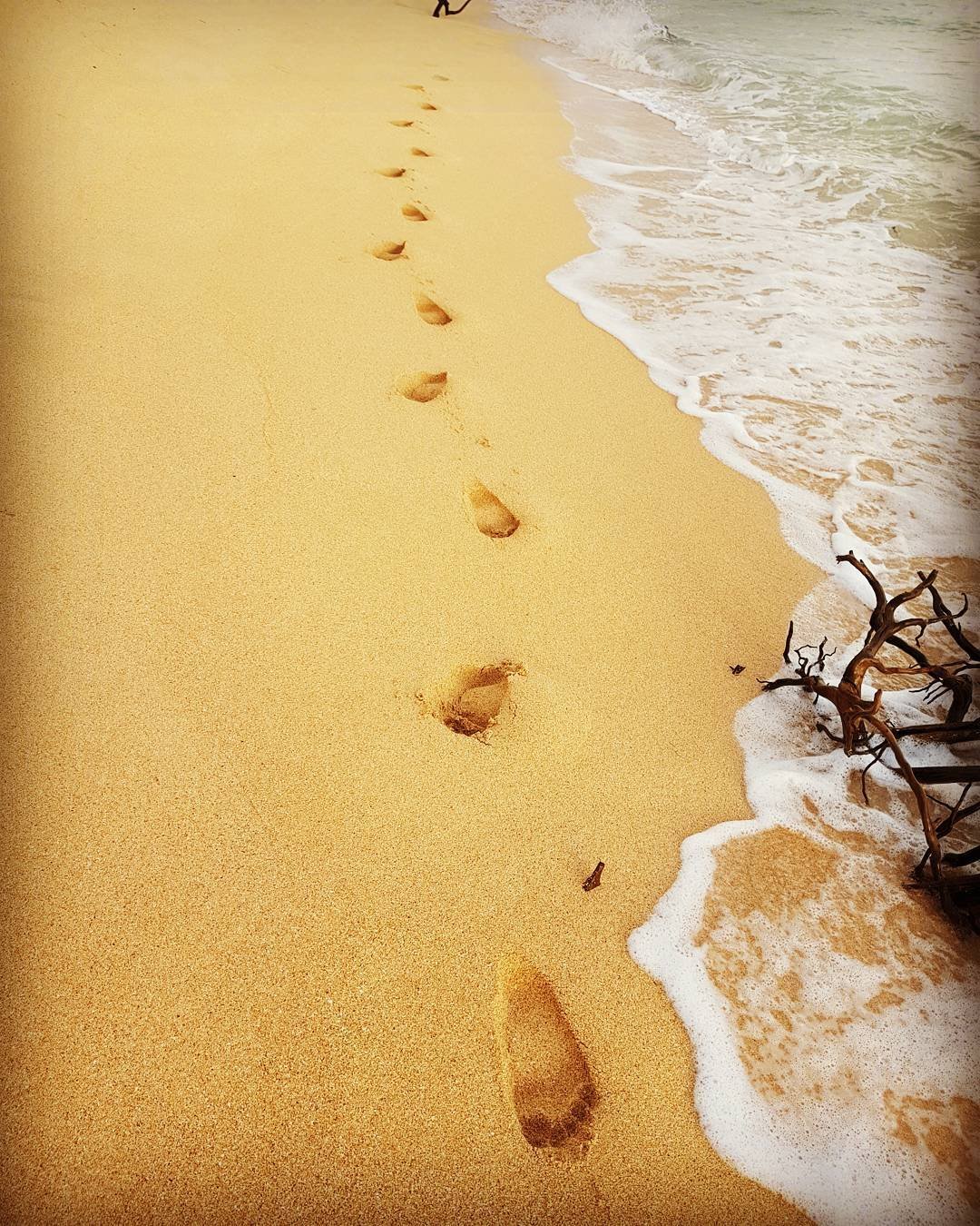
- Salibungot Beach has deep amber-gold sand colored by iron-oxide-coated quartz, which genuinely looks like nowhere else in the Philippines.
Where Is Jomalig Island Located?
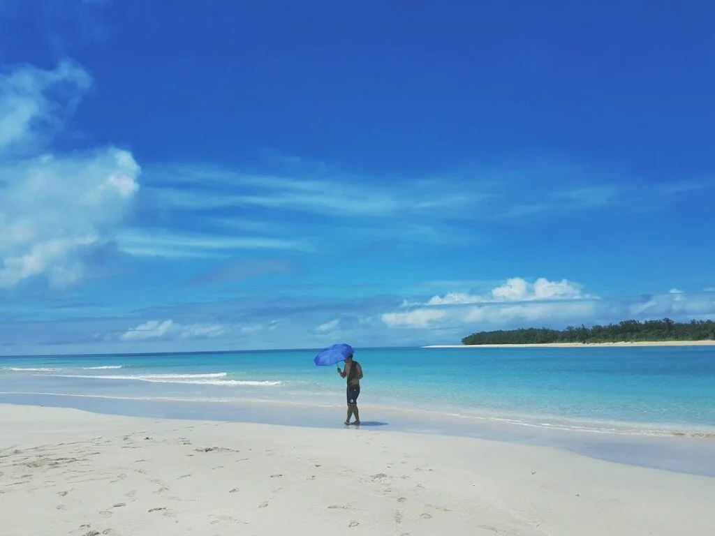
Jomalig Island sits at the extreme eastern edge of Quezon Province, facing the unobstructed Philippine Sea and the greater Pacific Ocean. It is the smallest and least populated municipality in Quezon Province, covering roughly 5,665 hectares with around 7,417 residents across five barangays: Bukal, Casuaguran, Gango, Talisoy, and Apad.
The island sits approximately 75 nautical miles southeast of the Polillo Group of Islands. That geographic exposure to the open Pacific is exactly what makes it distinct — and exactly what makes the logistics demanding. There are no commercial airports, no roll-on roll-off ferry terminals, and no reliable road links to any other island.
For context on other remarkable destinations in the same province, see this guide to Quezon Province tourist spots.
How to Get to Jomalig Island
Getting here is a two-stage journey: overland to Real, Quezon, then a cargo boat across open water. Miss either connection and you’re either stuck in Real or stranded on the island.
Stage 1 — Manila to Real, Quezon (Overnight Bus)
Take the Raymond Transportation bus from their terminal on Legarda Street in Sampaloc, Manila. The air-conditioned bus departs at 11:30 PM and costs exactly ₱220. It crosses the Marikina-Infanta Highway through the Sierra Madre range and drops passengers on the main highway of Real at around 3:30 AM. Passenger vans from the same area are faster (about three hours) and charge ₱250, but only leave when full — a real gamble if you have a boat to catch.
Stage 2 — Real to Ungos Port (Tricycle)
From the highway drop-off point in Real, hire a tricycle to Ungos Port for exactly ₱20 per person. This is a short ride, but at 3:30 AM you will need to flag one down or ask your bus seatmate where they’re going.
The Most Confusing Part: Tickets at Ungos Port
No guide explains this clearly, so here it is. There is no formal ferry terminal at Ungos Port. You are looking for a small logging-in hut at the port entrance, beside a local ice dealership. At this hut, you register your name on the Philippine Coast Guard passenger manifest and pay a ₱10 port terminal fee. The one-way boat fare of ₱400 is also collected here.
Stage 3 — The Cargo Boat Crossing (5 Hours)
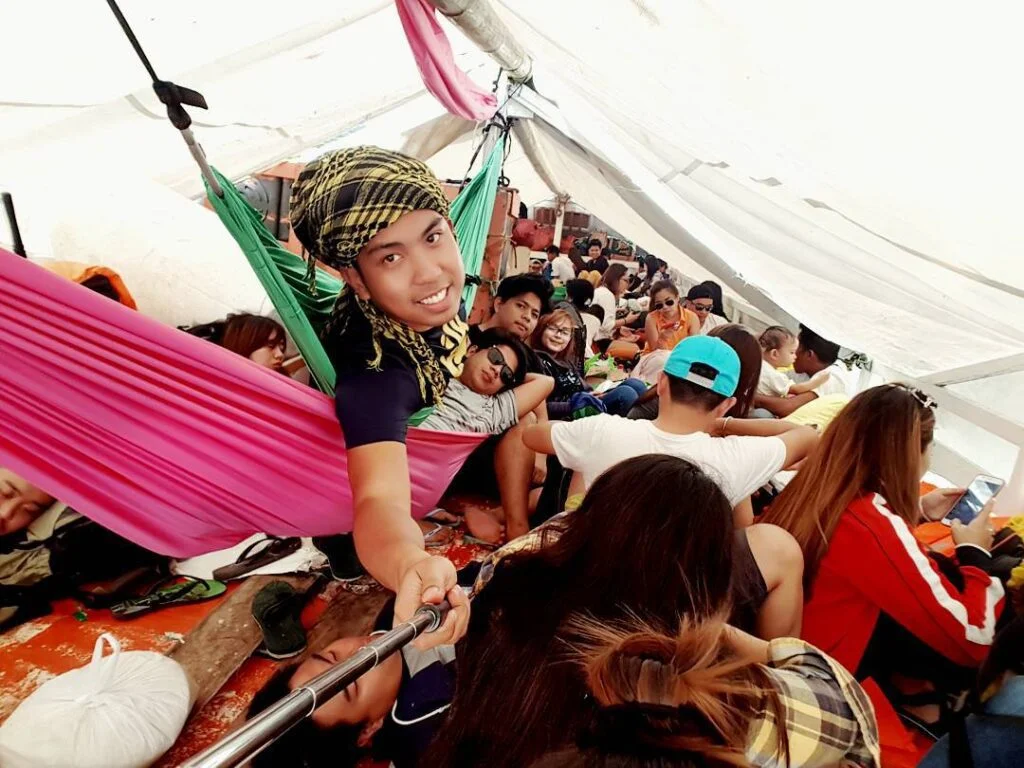
The boats that go to Jomalig are traditional wooden outrigger bancas that primarily carry cargo — ice blocks, rice sacks, construction materials — with passengers accommodated on hard wooden benches along the sides. These are not passenger ferries. Aim for a 5:00 AM departure, but the boats operate on a “depart when full of cargo” basis, which can push departure to 7:00 or even 10:00 AM. The crossing takes five hours in standard conditions and up to six hours in heavy swell.
Boat Fare Confusion Explained
Fare figures quoted online range from ₱200 to ₱700. The reason is simple: some older guides quote the cargo banca rate (around ₱400), while others reference the faster Mercraft-type passenger craft (fares closer to ₱600 to ₱700) that occasionally operates on this route. As of March 2026, the standard cargo banca from Real to Jomalig costs ₱400 one-way. Confirm the current fare directly at Ungos Port, as schedules and vessel types shift seasonally.
The Balsa Transfer on Arrival
At low tide, the loaded cargo banca cannot reach the shore at Barangay Talisoy. Local boatmen deploy flat-bottomed bamboo rafts called balsas to ferry passengers the final 100 meters to the beach. The cost is ₱50 per person, and the boatmen cannot give change for ₱500 or ₱1,000 notes while balancing on a floating raft in ocean swells. Carry small bills in your pocket before arrival, not buried in your bag.
Entrance Fees, Environmental Fees, and Permits at Jomalig Island
The moment you step off the balsa, you register at the barangay tourism desk near the port in Barangay Talisoy. The consolidated environmental and tourism fee is ₱170 per person (as of September 2026), broken down as:
- ₱100 — environmental preservation levy
- ₱40 — general tourism fee
- ₱30 — port entry fee
Pay this before going anywhere. No resort or habal-habal driver will take you past this point without your receipt. Individual beach sites charge separate entrance fees: ₱30 at Kanaway Beach, ₱30 at Little Boracay (Pamana Resort beach), and ₱50 at Lingayen Cove. Budget these on top of the main fee.
Getting Around Jomalig Island
The island has no paved coastal highway and no jeepneys or tricycles in the standard sense. Sandy unpaved tracks cut through coconut plantations and grassy fields, making habal-habal (modified motorcycles geared for sandy terrain) the only reliable motorized option.
A local habal-habal association manages rates to prevent price gouging. A point-to-point transfer from the arrival port to your resort costs exactly ₱70. For a full-day island circuit covering all major sites, the set rate is ₱600 per passenger. Your driver doubles as your guide and is invaluable — on the sandier inland paths, a wrong turn without local knowledge adds an hour to a short trip.
Beaches and Things to Do at Jomalig Island
Salibungot Beach — 4.5 out of 5
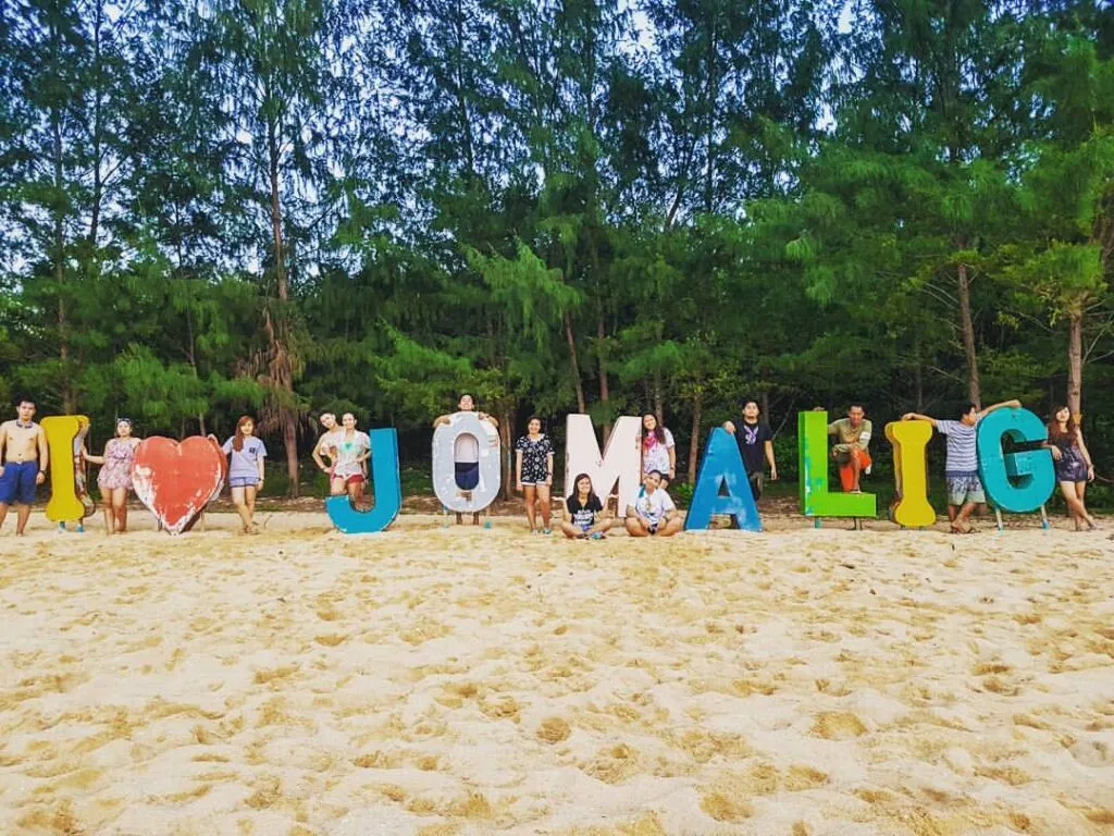
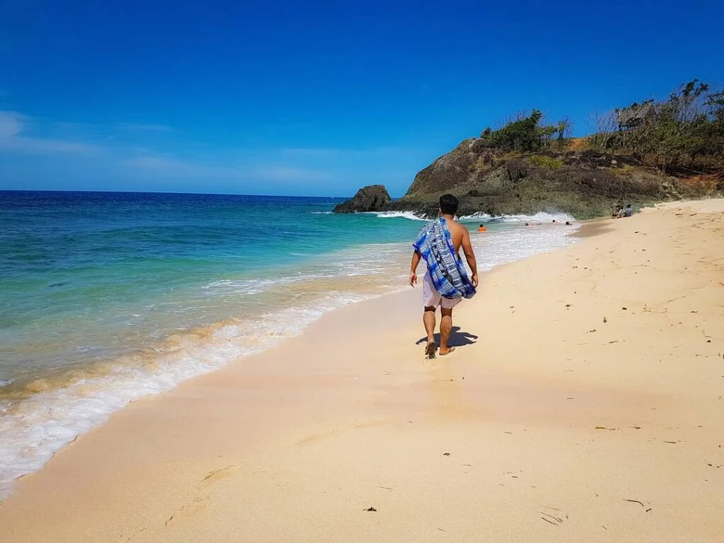
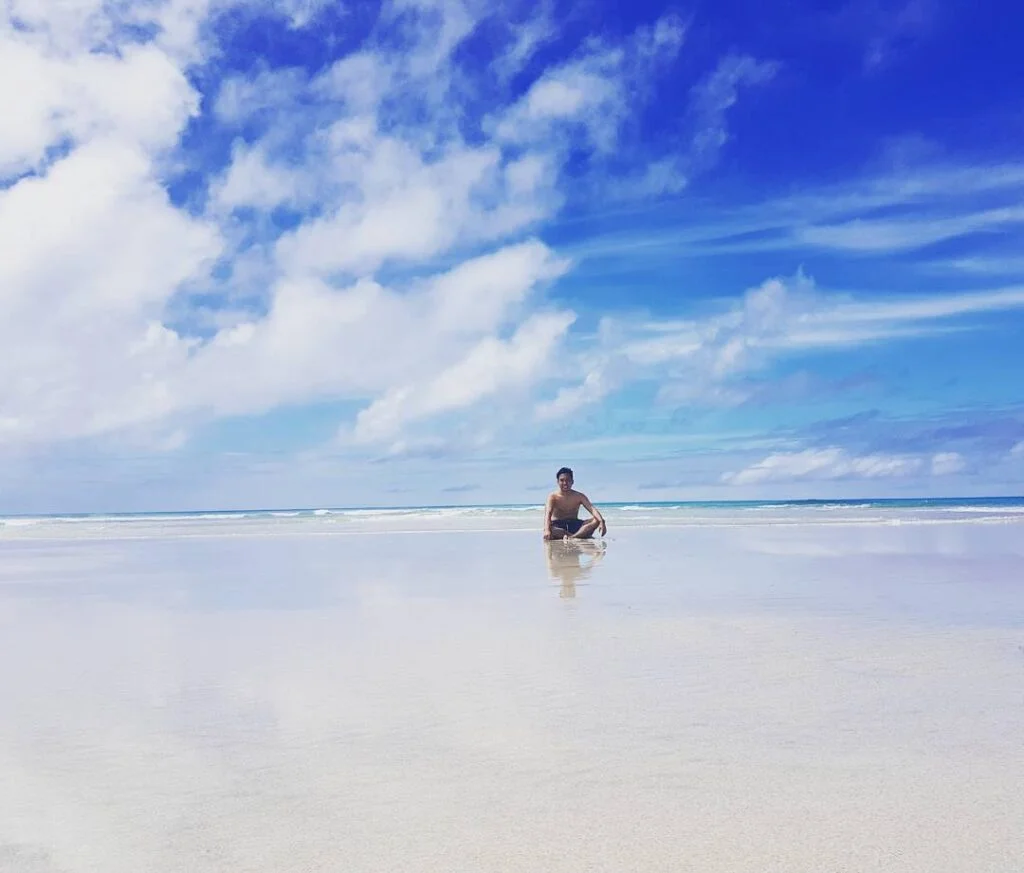
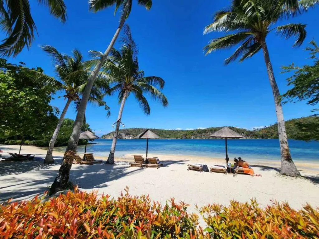
The main reason people come here. The sand is deep amber-gold, heavy, and packed with iron-oxide-coated quartz grains that glow orange-red in late afternoon light. A dense line of Agoho pine trees (Casuarina equisetifolia) shades the entire stretch, dropping a carpet of pine needles that smells nothing like a typical beach. A wide sandbar emerges at low tide. The Pacific waves here are strong — wade carefully, and don’t attempt to swim out past the break. Why not 5: the surf makes it more of a walk-and-photograph beach than a swimming beach.
Little Boracay / Pamana Resort Beach — 4 out of 5
Entrance fee: ₱30. Fine white sand, shallow calm water that stretches for dozens of meters before any depth. This is the safest swimming spot on the island. Families with kids should head here first. The name is an exaggeration — it is much smaller than Boracay — but the water conditions genuinely are kinder. Why not 5: the beach is short and can feel crowded on weekends.
Kanaway Beach and the Puno ng Walang Poreber — 4 out of 5
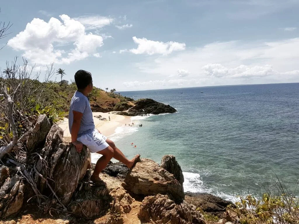
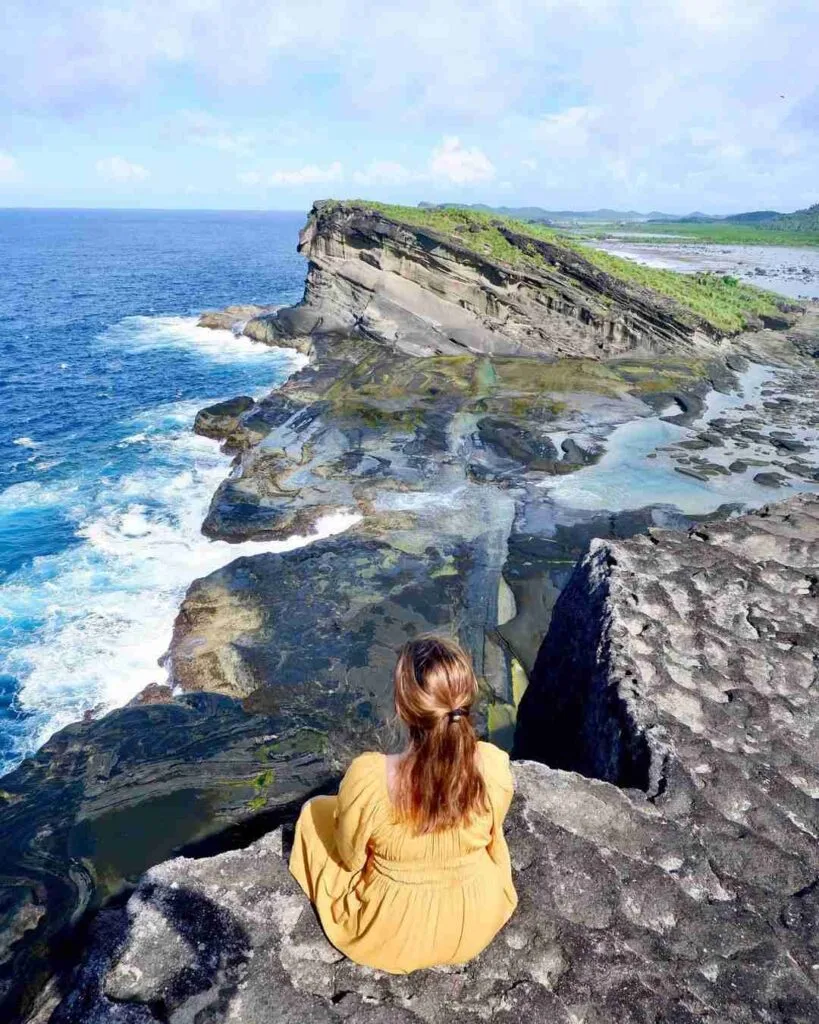
Entrance fee: ₱30. This is the rugged eastern face of the island, all jagged stratified rock formations and tidal pools. The visual centerpiece is a solitary Dapdap tree, permanently bent at a severe angle by decades of Pacific wind — locals call it the Puno ng Walang Poreber (Tree of No Forever). It is the most photographed spot on Jomalig. Do not swim here. The ocean surges are unpredictable and the seabed is sharp rock. Why not 5: you cannot get in the water, which limits the experience to photography and walking.
Lingayen Cove (Little Batanes) — 4.5 out of 5
Entrance fee: ₱50. Grass-covered hills that drop in sheer vertical cliffs to the ocean. The comparison to Batanes is accurate — it feels nothing like Quezon Province. Waves crash hard against the cliff face; there is no swimming access. The views from the ridge, however, are the best on the island. Go late afternoon when the light is right. Why not 5: the ₱50 fee feels high for a viewpoint with no amenities.
Island Hopping
This was the highlight of my March 2026 trip. We left early morning in a small motorized bangka and covered Manlanat Islet (bouldering and birdwatching), Canaway Islet (turtle-shaped rock formations visible only at low tide), and the sandbars off Sitio Pitisan. There is no booking office — arrange with your resort host the night before. A small bangka suitable for four to six people costs ₱1,200; larger vessels for groups cost ₱4,000 and up. Solo travelers should ask their resort to consolidate with another group to split costs. We were four people and split the ₱1,200 between us.
For a comparison of island hopping experiences across Quezon Province, the Cagbalete Island guide covers similar terrain.
What I Would Do Differently Next Time
I would skip the full-day habal-habal circuit on Day 1 after the five-hour boat ride. We arrived exhausted and the afternoon rock scramble at Kanaway was rougher than expected. Next time: arrive, register, eat, sleep. Save the circuit for Day 2. I would also bring more ₱50 bills. I ran out of exact change by Day 2 and had to borrow from a travel companion for the Lingayen entrance fee.
Best Time to Visit Jomalig Island
November to May is the window. The northeast monsoon (Amihan) brings calmer seas on the western side of the island from around November. The driest and most reliable months are March to May, when the crossing from Real is manageable and beach days are long. This is peak season, so book accommodation at least three to four weeks ahead.
June to October is high risk. The southwest monsoon (Habagat) and the peak typhoon season combine with the island’s unobstructed Pacific exposure to make the crossing genuinely dangerous. PAGASA gale warnings during these months can halt all maritime traffic for days at a stretch. If you are stranded on the island when a warning is raised, the Philippine Coast Guard grounds all vessels until conditions clear. The MDRRMO of Jomalig handles stranded tourist coordination and can be reached at 056-578-3510.
If you visit during the Habagat-to-Amihan transition (October to November), sea conditions can flip within 24 hours. Always check the PAGASA website before traveling.
Where to Stay at Jomalig Island
Beach camping outside accredited resort grounds is prohibited by local ordinance. Book a resort before you travel. The LGU does not allow improvised camping, and the habal-habal drivers will not take you to the beach without a confirmed accommodation booking.
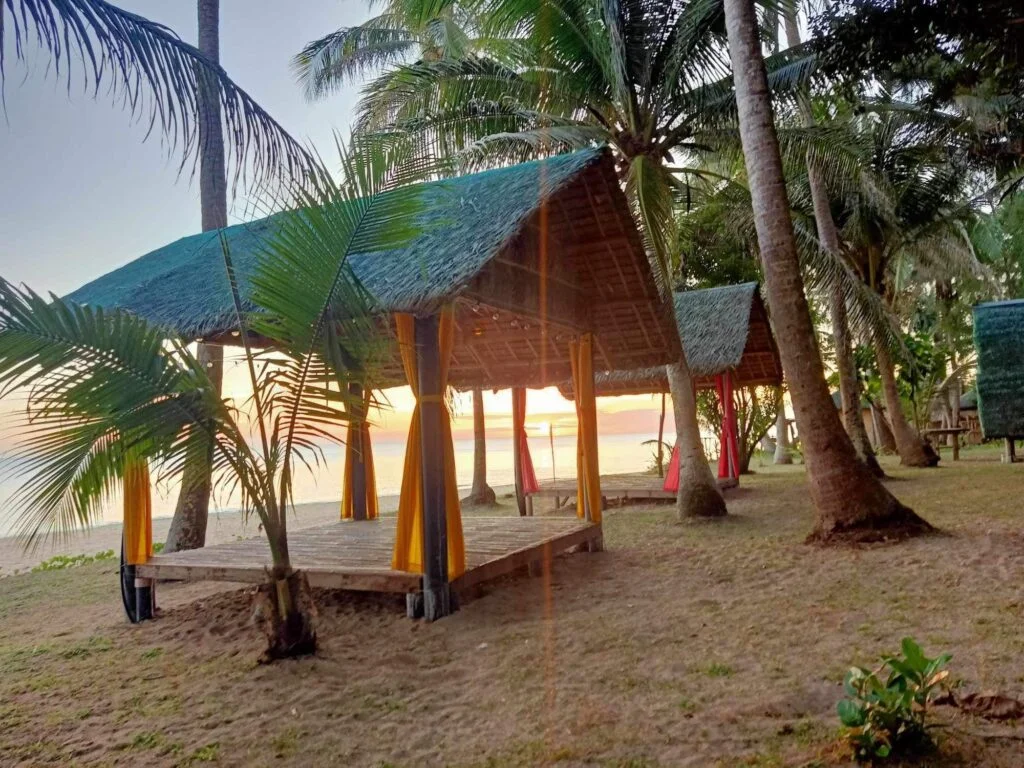
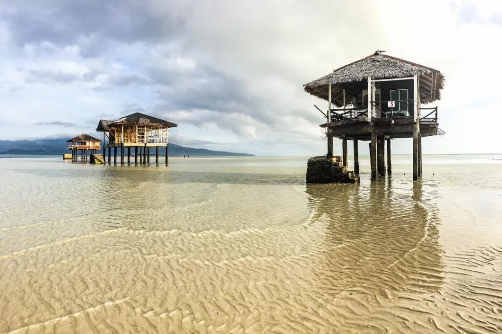
All resorts are rustic: nipa huts or basic concrete rooms, no Wi-Fi, and electricity only from 6:00 PM to 1:00 AM via the island’s diesel power plant managed by NAPOCOR-SPUG. Running water is available but is not pressurized like a city tap. Bring a headlamp for after 1:00 AM.
Accredited Resorts (rates as of September 2026):
| Resort | Room Type | Rate per Night (PHP) | Contact |
|---|---|---|---|
| South Pacific Island Resort (SPIR) | Bahay kubo (up to 5 pax) | ₱500 | Nanay Thelma: 0907-828-5161 |
| South Pacific Island Resort (SPIR) | Large kubo (up to 15 pax) | ₱1,000 | Same as above |
| South Pacific Island Resort (SPIR) | Tent pitching (own tent) | ₱150 | Same as above |
| Tejada’s Resort (Sitio Landing) | Room, shared bath | ₱300 | Tatay Rudy: 0907-537-5234 |
| Tejada’s Resort (Sitio Landing) | Room, en-suite bath | ₱500 | Same as above |
| El Vito Resort | Standard room (2 pax) | ₱600 + ₱100 entrance fee | Ask resort host on arrival |
| El Vito Resort | Large room (4 pax) | ₱1,000 + ₱100 entrance fee | Same as above |
| Jojomalig Resort | Nipa hut (2 pax) | ₱500 | Kuya Jojo: 0905-371-6169 |
I stayed at Puerto Vergara Beach Resort in March 2026. The highlight was a fresh lobster dinner cooked by the resort staff — paluto-style, sourced directly from local fishermen that afternoon. There is no menu price; you pay for the catch plus a ₱150 per person cooking fee, which is the island-wide standard for a full paluto meal including rice and drinking water.
On ATMs: Multiple guides contradict each other on whether there is an ATM on the island. Do not rely on any ATM existing. Bring your entire cash budget from Manila, broken into small bills.
Budget Breakdown for Visiting Jomalig Island
Per-person costs for a 3-day, 2-night trip (assuming two people sharing accommodation):
| Expense | Cost (PHP) |
|---|---|
| Raymond Bus, Manila to Real | ₱220 |
| Tricycle, Real highway to Ungos Port | ₱20 |
| Port terminal fee | ₱10 |
| Cargo boat, Real to Jomalig (one-way) | ₱400 |
| Balsa transfer (low tide arrival) | ₱50 |
| Environmental and tourism fee | ₱170 |
| Habal-habal, port to resort | ₱70 |
| Full-day habal-habal island tour | ₱600 |
| Accommodation (₱500/night ÷ 2 pax × 2 nights) | ₱500 |
| Kanaway Beach entrance | ₱30 |
| Little Boracay entrance | ₱30 |
| Lingayen Cove entrance | ₱50 |
| Paluto meals (₱150 × 6 meals) | ₱900 |
| Habal-habal, resort to port (return) | ₱70 |
| Cargo boat, Jomalig to Real (return) | ₱400 |
| Tricycle, port to highway | ₱20 |
| Raymond Bus, Real to Manila | ₱220 |
| Total | ₱3,760 |
Add ₱1,200 if you charter a bangka for island hopping (split among your group). A safe all-in budget is ₱4,000 per person for the 3D2N trip. Bring more if you want extra seafood or plan to tip drivers.
What to Pack for Jomalig Island
| Item | Essential? |
|---|---|
| Power bank, 16,000 to 20,000 mAh | Yes — charge during 6 PM to 1 AM only |
| Dry bag for backpack and electronics | Yes — five-hour open sea crossing |
| Cash in ₱20, ₱50, and ₱100 bills | Yes — no ATMs or card terminals on island |
| Headlamp or flashlight | Yes — grid cuts at 1:00 AM |
| Motion sickness medication (Bonamine) | Yes — take before boarding the cargo boat |
| Sunscreen, SPF 50 or higher | Yes — Pacific sun is intense with no shade at some beaches |
| Reef-safe footwear / water shoes | Yes — coral and sharp rock at Kanaway and snorkeling sites |
| Antihistamines | Yes — jellyfish and sea lice possible in some months |
| Loperamide and antiseptic | Yes — basic medical kit, no pharmacy on island |
| Dry snacks and personal dietary items | Yes — buy at Real wet market before boarding |
| Reusable food containers | Yes — single-use plastic ban enforced by local ordinance |
| Light rain jacket | Recommended — Pacific weather shifts fast |
| Extra memory card and camera batteries | Recommended — no photography shops exist |
For a look at how Jomalig compares to another off-grid Quezon island, the Alibijaban Island guide is worth reading before you decide which to visit first.
Safety Tips for Visiting Jomalig Island
Rip currents are the biggest aquatic risk. Jomalig faces the open Pacific and the currents can shift fast, especially at Salibungot Beach and the eastern coves. If caught in a rip, do not swim against it — swim parallel to shore until you are out of the current’s pull, then angle back to the beach. There are zero lifeguards on any beach on the island.
Night swimming is prohibited by local ordinance following a past drowning incident. Enforce this for yourself and your group regardless of how calm the water looks after sunset.
Jellyfish and sea lice are more prevalent from July to October. If you visit during the shoulder months (May to June or October to November), carry antihistamines and check with your resort host about current sea conditions before snorkeling.
Coral and rock abrasions are common at Kanaway and during island hopping. Water shoes prevent most injuries. Pack antiseptic — the RHU at Rizal Street in Barangay Talisoy can handle minor wounds but cannot manage deep coral cuts that need suturing.
Tide awareness matters at two points: the balsa transfer on arrival (low tide means wading or a raft ride — families with young children should be ready for this), and the Canaway Islet stop during island hopping, which is only accessible at low tide.
The cargo boat crossing is rough. Take Bonamine at least 30 minutes before boarding. On my March 2026 trip, the Pacific swell was strong enough that loose cargo shifted mid-crossing. Keep your dry bag between your legs, not overhead.
Sun and dehydration. The crossing gives you five hours of direct sun exposure with no shade beyond what you make yourself. Bring a hat, drink water steadily, and apply sunscreen before boarding.
Medical emergencies. The island’s RHU handles first aid and basic treatment only. Critical cases are evacuated by sea ambulance to Real or Infanta at a subsidized rate of ₱250, but only when sea conditions allow. This is not a hypothetical risk — factor it into your decision to bring older travelers or people with existing health conditions.
Frequently Asked Questions About Jomalig Island
How long is the boat ride from Real, Quezon to Jomalig Island?
The cargo boat crossing from Ungos Port in Real, Quezon to Jomalig Island takes five hours under standard sea conditions, and up to six hours when Pacific swells are high. Boats depart as early as 5:00 AM but operate on a cargo-loading schedule, so actual departure can be as late as 10:00 AM. Sit on the side benches, take motion sickness medication beforehand, and pack your bag in a dry bag to protect against sea spray.
Is Jomalig Island worth visiting for a weekend trip?
A weekend (Saturday to Sunday) is technically possible but genuinely rushed. Return boats from Jomalig depart as early as 7:00 AM on weekdays and by 11:00 AM on weekends — missing that window means staying an extra night. A 3-day, 2-night itinerary is the practical minimum: it gives you one full day for the island circuit and one morning for island hopping before the return crossing. The total travel time of roughly 9 to 11 hours each way makes a single overnight trip difficult to justify.
What are the things to do in Jomalig Island?
The main activities are beach walking and photography at Salibungot Beach (golden quartz sand, Agoho pine shade), swimming at Little Boracay (Pamana Resort beach), hiking and cliff viewing at Lingayen Cove, photography at Kanaway Beach (the Puno ng Walang Poreber bent tree), and island hopping to Manlanat Islet, Canaway Islet, and the Sitio Pitisan sandbars by motorized bangka. The habal-habal full-day island circuit covers all land sites for a flat ₱600 per person. Island hopping starts at ₱1,200 for a small bangka.
Do I need to book accommodation in advance before going to Jomalig Island?
Yes, and this is non-negotiable. Local ordinances prohibit beach camping outside accredited resort grounds. The LGU requires visitors to stay at accredited resorts, and during peak dry season (March to May) rooms fill up weeks ahead. Contact resorts directly by phone before traveling: South Pacific Island Resort (0907-828-5161), Tejada’s Resort (0907-537-5234), or Jojomalig Resort (0905-371-6169). Do not show up without a booking — the habal-habal drivers at the port will ask for your resort name before taking you anywhere.
What is the entrance fee to Jomalig Island?
The consolidated environmental and tourism fee is ₱170 per person (as of September 2026), collected at the barangay tourism desk at Talisoy port immediately upon arrival. This covers the ₱100 environmental preservation levy, ₱40 tourism fee, and ₱30 port entry fee. Individual beach sites charge additional fees: ₱30 at Kanaway Beach, ₱30 at Little Boracay (Pamana), and ₱50 at Lingayen Cove. Bring your fee receipt — resort staff check it on arrival.
Final Verdict: Is Jomalig Island Worth Visiting?
4.5 out of 5 for adventurous independent travelers. Jomalig Island is a genuinely unusual place — the amber quartz sand at Salibungot, the Pacific-battered cliffs at Lingayen, and the bent lone tree at Kanaway are sights with no equivalent in the Philippine island circuit. The logistics are demanding but entirely manageable if you follow the exact departure windows, carry small-bill cash, and book your resort before you leave Manila. Anyone expecting resort comfort or reliable connectivity will struggle; anyone who can handle an off-grid adventure will find the journey completely worth it.
For those building a wider Quezon Province itinerary, consider pairing this trip with a visit to the Kamay ni Hesus Shrine in Lucban on the return leg, or reading about the Pahiyas Festival if your travel dates align.

I don’t even know how I ended up here, but I
thought this post was great. I do not know who you are but definitely you’re going to
a famous blogger if you aren’t already 😉 Cheers!
Thanks for sharing. I read many of your blog posts, cool, your blog is very good.
Very informative Thank you!