
Best Beginner Friendly Hikes in the Philippines (Minor Climb Guide) 2026
A beginner mountain in Philippines terms meets all of these:
- Rated 1/9 to 4/9 on the Pinoy Mountaineer scale
- Reachable in a single day
- Open to hikers with no technical climbing experience
Since my first climb in 2015, I have hiked across 69 of the 82 provinces, and every year the question I get most is the same: where do I start? This guide covers 20 minor climbs across Luzon, Visayas, and Mindanao with 2026 fees, transport fares, and registration rules, making hiking for beginners philippines-wide easier to plan without guessing.
Key Takeaways
- Trail class for beginners: Look for Trail Class 1 to 3. Class 1 is a paved or flat walk; Class 3 adds uneven ground and occasional handholds. Class 4 means rock scrambling with both hands, still doable for fit beginners on short sections.
- Typical DIY cost: A day hike near Manila runs ₱110 to ₱300 per person (group shared), covering registration and a guide split among five. Add your own transport on top.
- Guides are mandatory on roughly 90% of active trails in 2026. This is an LGU rule enforced at the jump-off (the trailhead), not a suggestion.
- Best season: November to April (Amihan season) across most of Luzon. Trails close without warning during typhoons and heavy rain, especially on limestone terrain.
- Register before you climb: Several mountains, including Mt. Pamitinan and Pico de Loro, need online DENR booking. Walk-ins are rejected. Book at least a week ahead for weekends.
- Fares as of October 21, 2026. Transport costs follow diesel and gas prices.
What Makes a Hike “Beginner Friendly” in the Philippines?
A beginner friendly hike in Luzon and across the Philippines meets all of these:
- Rated 1/9 to 4/9 on the Pinoy Mountaineer Difficulty Scale
- Completable in a single day
- Requiring no ropes, harnesses, or technical climbing gear
Any mountain rated 5/9 and above is a major climb and is outside this guide’s scope.
Two numbers matter when you choose a trail. The difficulty rating measures cardiovascular effort, how hard your lungs and legs will work.
The trail class measures physical technicality, specifically hand use on the ascent. They are not the same.
Here is what each trail class actually means on the ground:
| Trail Class | What you walk on | Hands needed? |
|---|---|---|
| Class 1 | Paved road or flat wide path | No |
| Class 2 | Clear dirt path, gentle slope | No |
| Class 3 | Uneven rocks, exposed roots | Occasionally for balance |
| Class 4 | Steep boulders, limestone | Yes, three-point contact |
A minor hike philippines hikers track sits at 1/9 to 4/9, usually completed in 2 to 6 hours round trip. The trail is non-technical, needs minimal equipment, and has an accredited guide available at the jump-off.
Mountains like Mt. Kalugong in Benguet sit at 1/9, meaning anyone who can walk can do it. Mt. Batulao in Batangas sits at 4/9, which is demanding but still finishable by a fit person with no prior hiking experience.
Who should start with a minor climb? Anyone who has never hiked before, anyone returning after a long break, families with children, and anyone who wants to test their fitness before committing to a multi-day climb. If you have been sedentary, start at 1/9 or 2/9.
Build to 3/9 after two or three successful hikes. Move to 4/9 only when a 3/9 trail feels manageable. This four-phase approach, from Mt. Kalugong or Osmeña Peak all the way up to Mt. Pulag via the Ambangeg Trail, is the safest way to avoid injury and burnout.
One thing older guides get wrong: a Class 4 section does not automatically disqualify a mountain from this list. Mt. Daraitan and Mt. Batulao both have Class 4 scrambles, but the difficult sections are short, guides are present, and thousands of first-timers complete them every weekend. What matters is the overall grade, not the hardest single moment on the trail.
Beginner Mountains Near Manila: Rizal and Tanay
Fares as of October 21, 2026. These fares follow diesel and gas prices, so what you pay can be a little higher or lower than the figures below.
Rizal and Tanay hold the densest cluster of minor hikes in the Philippines, most of them reachable from Manila in under three hours. The three I return to most often for first-timers are Mt. Daraitan, Mt. Sembrano, and Mt. Pamitinan. Each one answers a different need.
Mt. Daraitan (Barangay Daraitan, Tanay, Rizal) sits at 739 MASL, rated 4/9 by Pinoy Mountaineer, Trail Class 1 to 4. Do not let anyone sell you on this as an easy walk. The ascent is a continuous steep forested climb.
The descent is rocky, dropping into limestone boulders and Tinipak River. Total day hike time runs 5 to 6 hours. The reward is real: a Sierra Madre viewpoint followed by a swim in clear river water.
This trail is best for beginners who are physically fit, not those who are still testing their legs. A local guide is mandatory; the registration fee is ₱100 and the guide fee is ₱600 for up to 5 people for a day hike, ₱1,200 for overnight. Get there from Manila by public transport to Tanay terminal for ₱140, then a tricycle to Brgy. Daraitan for ₱500 per tricycle (good for 5 to 6 people).
The Tinipak River now has stricter rainy-season closures following flood risk reviews in 2024, monitored by local Dumagat guides. Go between December and May. Full trail and river details are in the Mt. Daraitan and Tinipak River guide.
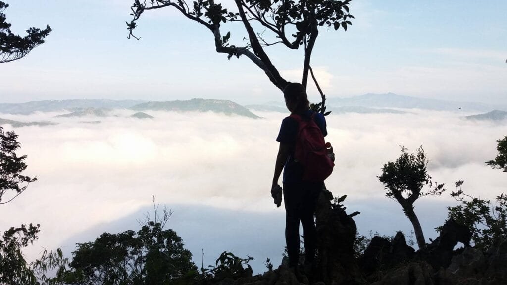
Mt. Sembrano (Barangay Malaya, Pililla, Rizal) is the step-up hike for fit beginners who have already done a 2/9 or 3/9.
Key stats for this trail:
- Elevation: 745 MASL
- Pinoy Mountaineer rating: 3/9
- Full cross: 5 to 7 hours
- A steep section called the Vertical Forest tests muscular endurance near the top
Registration is mandatory at the Malaya Barangay Hall Tourism Desk, which opens at 5:00 AM, with a strict 8:30 AM cut-off for all day hikers. The registration fee is ₱50 and the guide fee is ₱600 for up to 7 people.
Missing the last jeepney from Brgy. Malaya back to Tanay, which leaves between 6:30 PM and 7:00 PM, means chartering a tricycle for ₱300 to ₱500 per vehicle. Get the full breakdown in the Mt. Sembrano trail guide.
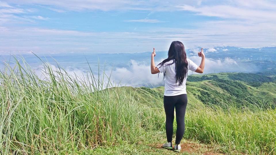
Mt. Pamitinan (Sitio Wawa, Barangay San Rafael, Rodriguez, Rizal) is at 426 MASL, rated 3/9, and it is one of the best introductions to limestone rock scrambling in Luzon. Total hiking time is about 4 hours. The jagged karst means you will need gloves; you can rent or buy a pair at the jump-off for ₱50.
The DENR enforces a daily quota of 115 hikers and walk-ins are rejected. Book through the DENR Pamitinan Protected Landscape Facebook page before you go. A medical certificate is required at registration.
The DENR registration fee is ₱30 and the guide fee is ₱600 for up to 6 people. Get there from Cubao by UV Express to Eastwood Subdivision in Rodriguez for ₱50 to ₱100, then a tricycle to Sitio Wawa DENR for ₱60 per tricycle.
The DENR closes the trail immediately during heavy rain because wet limestone is dangerous. Hikers over 65 should ask the Protected Area Management Board (PAMB) about current age-related restrictions before booking.
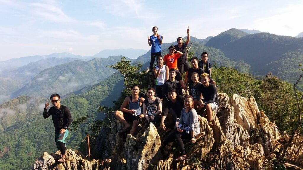
Beginner Mountains in Batangas and Laguna
Batangas is the most consistent training ground for beginner friendly hikes philippines-wide near Manila, with dry-season trails, good transport links, and an established guide system. The three I cover here, Mt. Batulao, Mt. Talamitam, and Pico de Loro, each suit a slightly different first-timer.
Mt. Batulao (near Evercrest Golf Course, Nasugbu, Batangas) is at 811 MASL, rated 4/9, and it is the most-discussed gateway hike in Luzon. A series of rolling hills with views of the Batangas coast leads to a final scramble, and the trail is almost entirely exposed to sun. Kubo (native hut) rest stops near Peaks 7 and 8 sell buko juice.
Parking is ₱50 to ₱100. From Pasay or Buendia, take a bus bound for Nasugbu stopping at Evercrest for ₱125 to ₱222, then a tricycle to the registration point for ₱100. Avoid hiking the ridge between 10:00 AM and 2:00 PM from March to May; there is no shade and heat exhaustion is the real hazard.
Guides have enforced dawn starts on this trail since 2026 for that exact reason. Read the full Mt. Batulao trail breakdown before you go.
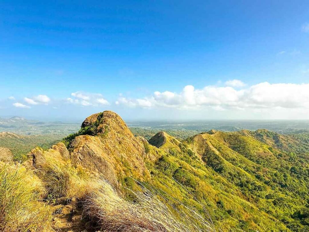
Mt. Talamitam sits just a short drive from Batulao and is the better first choice for someone who has never hiked before. The terrain is gentler, the time commitment is shorter, and the registration process is simpler. The Mt. Talamitam guide has the current fees and transport details.
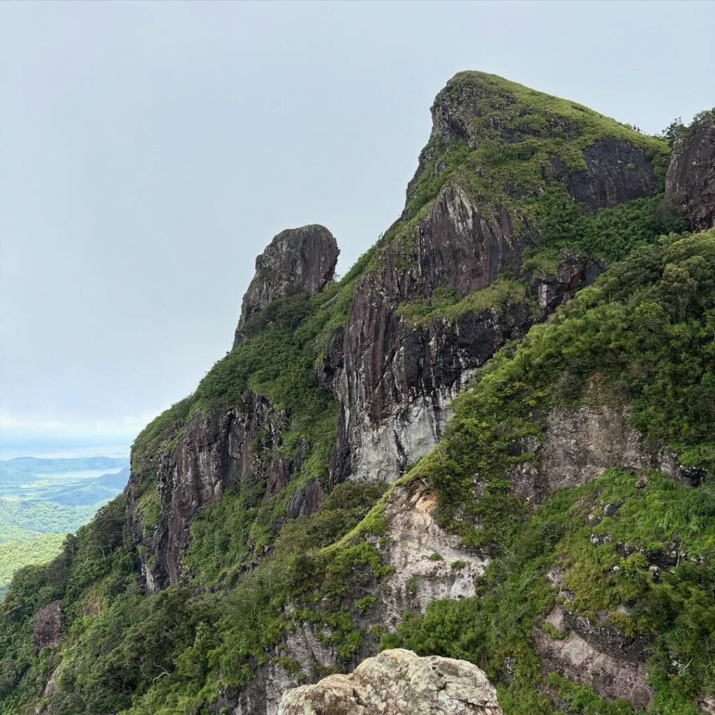
Pico de Loro (DENR Station, Sapang I, Ternate, Cavite) stands at 664 MASL, rated 3/9, with a 3.5-kilometer one-way trail and an elevation gain of 600 to 650 meters. The trail was closed for multi-year rehabilitation and is now clear, clean, and well-marked, making it well-suited for beginners building endurance. The DENR charges ₱250 on weekdays and ₱350 on weekends and holidays as the environmental fee, plus an admin fee of about ₱100.
Beginner Mountains in Zambales, Bataan, and the Cordillera
North and Central Luzon give you cooler air, longer trails, and the most dramatic beginner finishers, including the highest peak a beginner can realistically summit in the Philippines. A beginner friendly route in Luzon’s Cordillera feels completely different from Rizal or Batangas. The temperature drops, the distances are longer, and altitude starts to factor in above 1,500 MASL.
Mt. Yangbew (La Trinidad, Benguet) is the easiest entry point near Baguio, short enough to pair with an afternoon coffee and cool enough to hike year-round. The Mt. Yangbew trail guide has current fees and the jump-off location.
Mt. Ulap (Barangay Ampucao, Itogon, Benguet) sits at 1,846 MASL, rated 3/9, and takes about 6 hours total. Long gradual ascents on well-maintained dirt paths cover trail highlights including Gungal Rock, pine ridges, and a high probability of clouds below you by mid-morning. Get there from Baguio City Central Mall terminal by jeepney to Ampucao for ₱70.
Note that Mt. Ulap is a cross: the exit point is Sta. Fe, not Ampucao. Tell your driver before you leave which point to pick you up from, or you will be stranded. Best months are November to April.
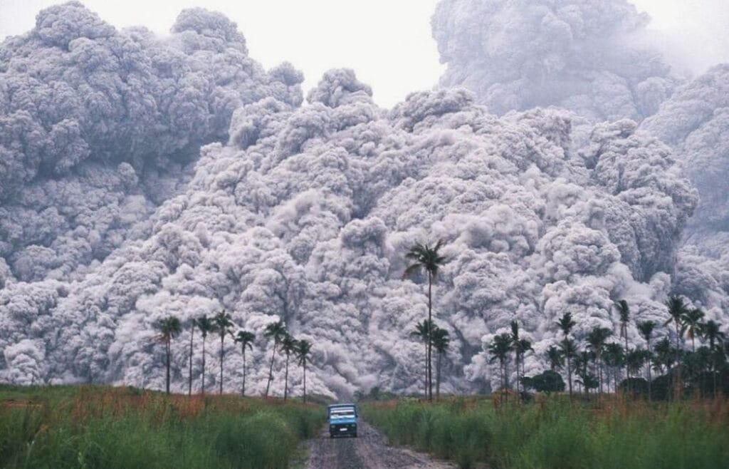
Mt. Pinatubo via the Capas Trail (Barangay Santa Juliana, Capas, Tarlac) sits at 1,486 MASL and is rated 2/9. It is the most logistically complex entry on this list despite being a low-difficulty trail. The reason is the terrain: the challenge is not climbing but walking through flat lahar fields under extreme heat with zero cellular signal in the canyons.
The activity spans 5 to 6 hours or more to reach the summit. It includes:
- A 1-hour 4×4 ride through the “Moonscape”
- A 1.5 to 2-hour walk of 5.5 to 7 kilometers to the crater lake
You will need a tube mask for the dust.
Expect these fees for the Capas Trail:
- 4×4 rental: ₱3,000 to ₱3,500 for 5 people
- Mandatory Aeta guide fee per jeep: ₱500
- Capas eco fee: ₱300 per person
- Botolan (Zambales/IP) ancestral domain fee: ₱400 to ₱700 per person
Visitors aged 60 and above must undergo a mandatory blood pressure check, and medical clearance is strictly enforced for seniors. Foreign nationals must book clearance weeks in advance.
An organized tour package from Manila or Clark costs about ₱2,500 to ₱3,500 all-in, which is mathematically cheaper for a solo hiker than splitting the 4×4 and fees alone. Bus from Manila to Capas Junction runs ₱210 to ₱280; tricycle from the junction to Brgy. Santa Juliana costs ₱300 to ₱600 one-way.
Best season is December to May; wet season makes the lahar canyons dangerously muddy and 4x4s are forced to drop hikers much further back from the crater. A broader look at how Pinatubo fits into the Philippine mountain network is in the mountains in the Philippines travel guide.
How Much Does a Beginner Hike in the Philippines Cost?
A day hike near Manila typically costs ₱110 to ₱300 per person when five people split the guide fee, plus your own transport. That figure does not include getting to the jump-off. The kuya at the Daraitan barangay desk was clear when I paid: guide fees are fixed by the cooperative and are not negotiable, and everything is cash only at every jump-off on this list.
Joiner climbs (organized van tours bundling transport, guide, and fees) average ₱1,400 to ₱3,500 per person in 2026. For a solo hiker who would otherwise pay a ₱1,000+ guide fee alone, joiners are the cheaper option.
This table shows the estimated DIY cost per person for a group of five, covering registration and guide share only. Transport to the jump-off is separate.
Mt. Mariglem (Zambales)
Tagline: “The Hot Challenge”
Difficulty: 3/9 (Minor Climb)
Best For: Hikers who want a raw, less commercialized experience.
Located in Iba, Zambales, Mt. Mariglem is a test of heat tolerance. The trail is relatively short, but the “assault” is steep and dusty. The charm of this mountain lies in its rustic campsite, which features a distinct bamboo hut (kubo) often used as a resting spot or photo background. It offers a commanding view of the West Philippine Sea.
Mt. Pinatubo (Zambales/Tarlac)
Tagline: “The Beautiful Disaster”
Difficulty: 2/9 (Long Walk)
Best For: Adventure seekers who want a mix of off-road driving and hiking.
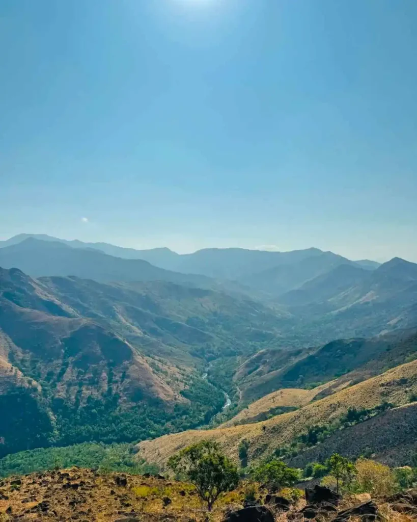
Mt. Pinatubo is world-famous for its crater lake, which changes color from turquoise to deep blue depending on the season. This isn’t just a hike; it’s a full tour.
The Experience: The adventure starts with a thrilling 1-hour 4×4 jeep ride across the vast lahar desert (crow valley).
The Hike: After the ride, it’s a roughly 2-hour trek to the crater. The trail is mostly flat and follows a riverbed, making it technically easy, though walking on sand and rocks can be tiring for your calves.
Mt. 387 & Aloha Falls (Nueva Ecija)
Tagline: “The Chocolate Hills of the North”
Difficulty: 2/9 (Minor Climb)
Best For: Eco-conscious travelers and groups.
Also known as “Batong Amat,” Mt. 387 got its nickname because the surrounding hills resemble the Chocolate Hills of Bohol during the dry season.
The “LNT” Twist: This is one of the few mountains that actively encourages tree planting. You might be asked to bring a seedling up!
The Fun Part: You don’t have to walk down! There is an option to ride a “Kuliglig” (monster truck/tractor) back to the jump-off point, which is an adventure in itself. Afterward, you can cool down at the nearby Aloha Falls.

Beginner Friendly Hikes in Cordilleras (Cool Weather Hikes)
If you hate the heat and humidity of lowland hiking, the Cordillera Administrative Region (CAR) is your sanctuary. Here, the trails are lined with fragrant pine trees, the air is crisp (often dropping to 10-15°C), and you are literally walking above the clouds.
⚠️ Travel Note: These hikes require a longer travel time (5–6 hours to Benguet, 10–12 hours to Mt. Province) from Manila, but the cool weather makes every hour of the bus ride worth it.
Mt. Ulap (Itogon, Benguet)
Tagline: “The Perfect Day Hike”
Difficulty: 3/9 (Minor Climb)
Best For: Everyone. It is arguably the most popular day hike in Luzon.
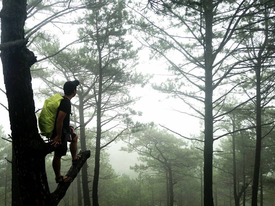
Mt. Ulap is the gold standard for beginner hikes in the North. It offers the perfect mix of manageable terrain and world-class scenery. You will walk along a 9-kilometer ridge filled with cows, rolling hills, and pine forests.
The Highlight: Gungal Rock, a magnificent slab of rock jutting out from the mountainside. It creates a stunning optical illusion of being on a cliff edge.
The Reality Check: Because it is so popular, expect lines. It is not uncommon to wait 30 minutes to 1 hour just to take a photo at Gungal Rock on weekends.
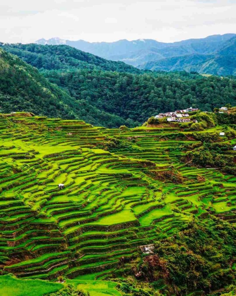
Mt. Kupapey & Mt. Fato (Bontoc, Mt. Province)
Tagline: “The Maligcong Twin Hike”
Difficulty: 3/9 (Combined)
Best For: Weekend warriors willing to travel further for culture and rice terraces.
Located in Maligcong, Bontoc, this is a “two-for-one” deal. Since the travel time is long, hikers usually do both peaks to maximize the trip.
Mt. Fato (Sunset): Usually hiked in the afternoon on Day 1. It’s a short trek through a rockier pine forest leading to a rock formation perfect for watching the sunset.
Mt. Kupapey (Sunrise): Hiked early morning on Day 2. The summit offers the best front-row seat to the Maligcong Rice Terraces. Seeing the sun rise over the golden-green paddies is a core memory you won’t forget.
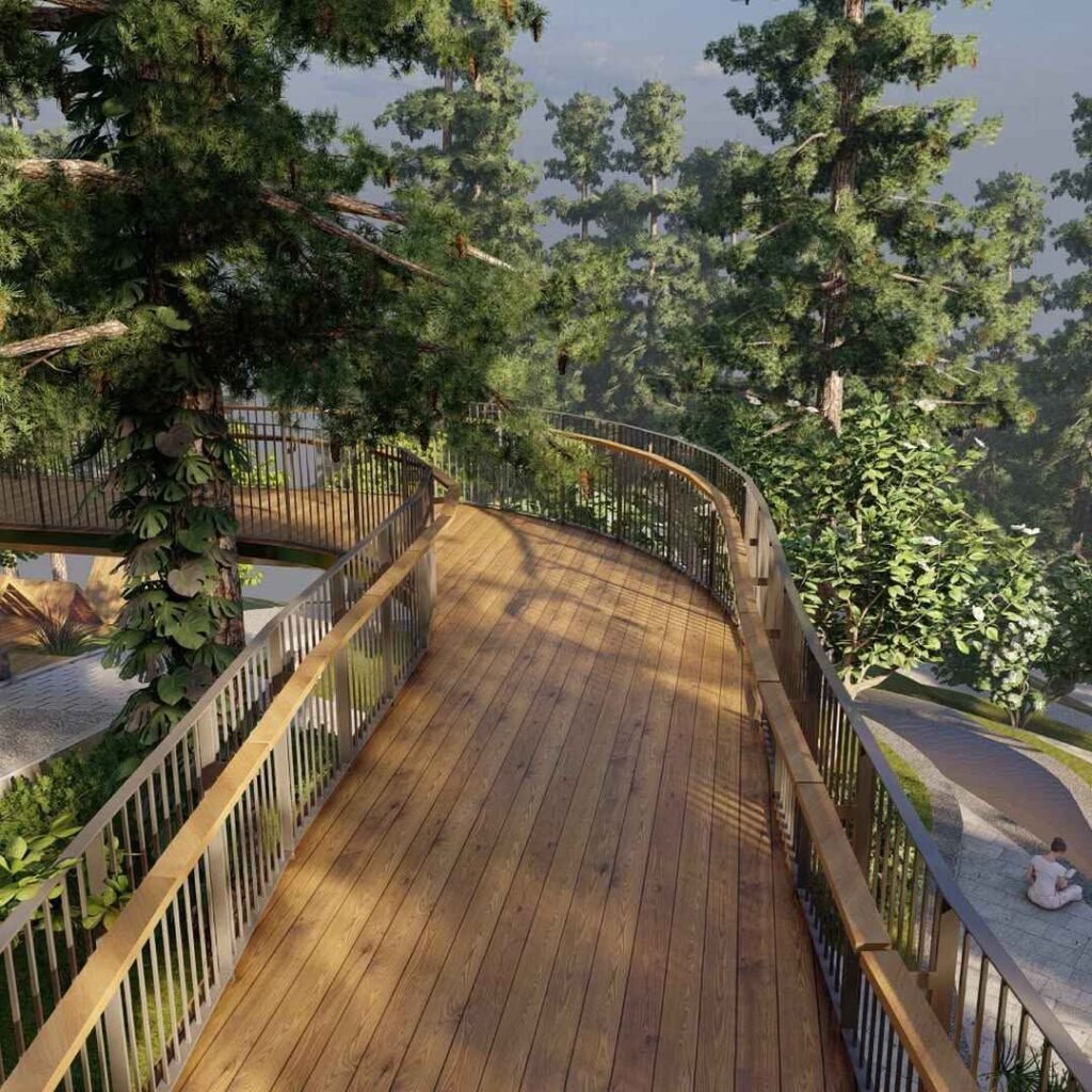
Mt. Camisong Forest Park (Benguet)
Tagline: “The Relaxed Pine Forest”
Difficulty: 1/9 (Walk in the Park)
Best For: A chill side trip after visiting Baguio City.
If Mt. Ulap feels too long (it takes 4-6 hours), Mt. Camisong is the “lite” version. Located near the Ambuklao Dam, this trail is incredibly gentle.
The Vibe: Parts of the trail are paved, and the incline is very gradual. It feels more like a Sunday morning stroll through a European forest than a tropical hike. It is perfect for testing your layering system (jackets/windbreakers) without breaking a sweat.
How to Prepare for Beginner Friendly Hikes
Don’t let the term “Beginner Friendly Hikes” fool you. In the Philippines, even a 2/9 difficulty mountain usually involves heat, humidity, and steep assaults. You don’t need to be a marathon runner, but you shouldn’t walk straight off the couch and onto the trail, either.
Here is how to condition your body and mind at least two weeks before your trip.
Quick Answer: How to Prepare To prepare for a beginner hike, focus on cardio and leg strength at least 2 weeks prior. Do 30 minutes of jogging or brisk walking 3x a week. Incorporate squats and lunges to strengthen your quads for the assault. Most importantly, cut your toenails short to avoid injury on the descent and hydrate well (2-3 Liters daily) for 3 days leading up to the hike.
A. Physical Conditioning (The “Leg Day” Rule)
You don’t need a gym membership. You just need to mimic the movement of hiking.
Cardio is King: The air gets thinner (slightly) and the effort gets harder.
Action: Jog or brisk walk for 30 minutes, 3 times a week.
Stair Climbing: This is the best specific training for Philippine mountains, which are often steep.
Action: Skip the elevator. Take the stairs at work or in the MRT/LRT stations.
Leg Strength: Your quads will carry you up; your knees will support you down.
Action: Do 3 sets of 15 Squats and Lunges every other day.
B. The “Shakeout” (Gear Check)
Never use new gear for the first time on the actual mountain. This is the #1 cause of blisters and misery.
Break in your Shoes: Wear your hiking sandals or shoes around the house or on errands for a week. Let your feet adjust to the friction points.
Test your Bag: Pack your backpack with the actual weight (water, clothes) and wear it for 30 minutes to check if the straps dig into your shoulders.
C. Essential Body Care
These are the small details veteran hikers know that beginners often miss:
The “Toenail” Rule: Cut your toenails short two days before the hike. On the descent (going down), your toes will jam against the front of your shoes. Long nails will turn black and fall off.
Pre-Hydration: Do not wait until the hike to drink water. “Super-hydrate” by drinking 2-3 Liters of water daily for 3 days before the trip. This prevents cramps and heat exhaustion.
Sleep: No amount of coffee can replace a good night’s sleep. Try to get 6-8 hours of rest before your call time.
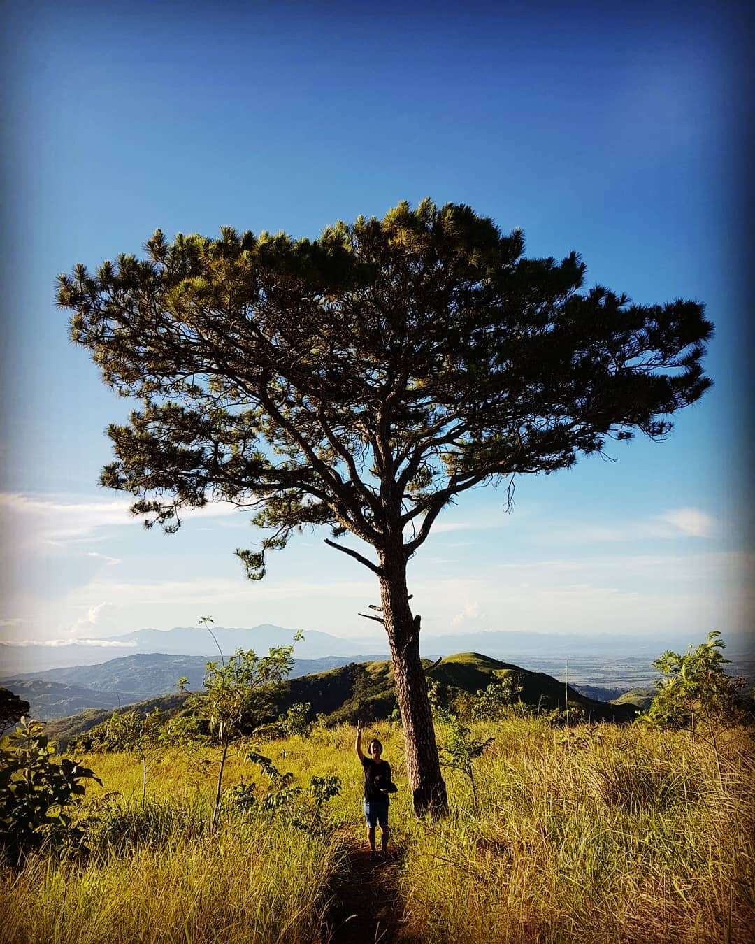
The “Beginner Friendly Hikes” Gear Checklist
One of the biggest mistakes beginners make is overpacking. You are climbing a mountain, not moving into a condo! For a day hike (Minor Climb), you want to be as light as possible.
Here is the “Goldilocks” list—not too much, not too little.
The “Must-Haves” (Do not leave home without these)
Footwear:
- Option A: Hiking Sandals (Brands like Sandugo, Tribu, or Lagalag). Best for river crossings and easy trails.
- Option B: Trail Running Shoes (with good lug traction). Best for rocky terrain like Mt. Batulao.
- Avoid: Converse, Vans, or smooth-soled sneakers. You will slip.
Clothing:
- Dri-Fit Shirt: Cotton is the enemy. It absorbs sweat and gets heavy.
- Leggings/Trekking Pants: Protects your legs from talahib (grass) cuts and insects.
Hydration:
- Water: Minimum 2 Liters. (Tip: Freeze one bottle so you have cold water for the summit).
- Electrolytes: Gatorade or Pocari Sweat (500ml) to prevent cramps.
Protection:
- Sun Protection: Cap/Hat, Arm Sleeves, and Sunblock.
- Rain Gear: A lightweight poncho or a foldable umbrella (Yes, payong is very common and useful in PH hiking!).
Emergency Kit:
- Whistle: The universal distress signal.
- Headlamp/Flashlight: Even for a day hike. If you get delayed, the trail gets dark fast at 6:00 PM.
- First Aid: Alcohol, Band-aids, and personal meds (Antihistamine/Painkillers).
Nutrition:
- Trail Food: Jelly Ace, chocolates, nuts, or hard-boiled eggs for quick energy.
- Packed Lunch: Something that won’t spoil easily (e.g., Adobo, Fried Chicken).
FAQ
We know you have questions. Here are the answers to the most common worries we hear from first-timers.
What is the absolute easiest mountain on this list?
If you want zero effort, go to Treasure Mountain (Class 1). If you want a “real” hike that is still very easy, choose Mt. Camisong in Benguet or Mt. Gulugod Baboy in Batangas.
DIY or Joiner Tour: Which is better for beginners?
For your first time, we highly recommend booking a “Joiner Tour.”
Why: Transportation (Van) is arranged, fees are prepaid, and a coordinator handles the logistics. You just need to show up.
Cost: Usually PHP 1,300 – PHP 1,800 (All-in).
DIY: Better if you have a private car or are comfortable navigating public provincial buses.
Is it safe to hike alone?
“Solo joiner” is fine (joining a group tour alone). But hiking completely alone on the trail is not recommended for beginners. Always hire a local guide. Not only does it support the local economy, but they are also your safety net in case of injury.
Are there toilets on the mountain?
Generally, No. There are restrooms at the Jump-off point (start) and sometimes at the campsite. But on the trail itself? Nature is your toilet. (This is why you “do your business” before you start trekking!).
How much pocket money should I bring?
If you have already paid for your tour/transpo, bring an extra PHP 1,000 – PHP 2,000 in cash.
Breakdown: Trail food/merienda at the jump-off, shower fees (usually PHP 20-50), and tipping your local guide (highly encouraged!).
Stay Connected:
Subscribe to our newsletter for exclusive travel insights, deals, and updates. Join our community of travel enthusiasts and stay connected with the latest from our blog.
Follow us on social media for daily inspiration and updates on mountain climbing in the Philippines:
Contact Information:
- Email: travel.ph@lakbaypinas.com
- Phone: 09260******
- Address: Marikina