Mt. 387, also called Batong Amat, is a 724 MASL beginner-to-intermediate day hike in Barangay Puncan, Carranglan, Nueva Ecija. It is rated 2/9 (Minor Climb, Trail Class 1) on the backtrail and 4/9 on the full cross to Aloha Falls. I have been hiking across 69 of the 82 Philippine provinces since 2015, and I revisited this mountain in October 2026 to update every fee, rule, and route detail below.
Before you book a bus: contact Sir Roy Manuzon at +63 917 571 2152 to reserve a guide. Walk-ins for solo hikers are accepted for small groups of one to five, but weekends fill fast.
Key Takeaways
- 724 MASL summit, with roughly 387 to 400 meters of actual elevation gain from the KM 175 jump-off
- Backtrail difficulty: 2/9 (Minor Climb, Trail Class 1); cross to Aloha Falls: 4/9, two different hikes, one mountain
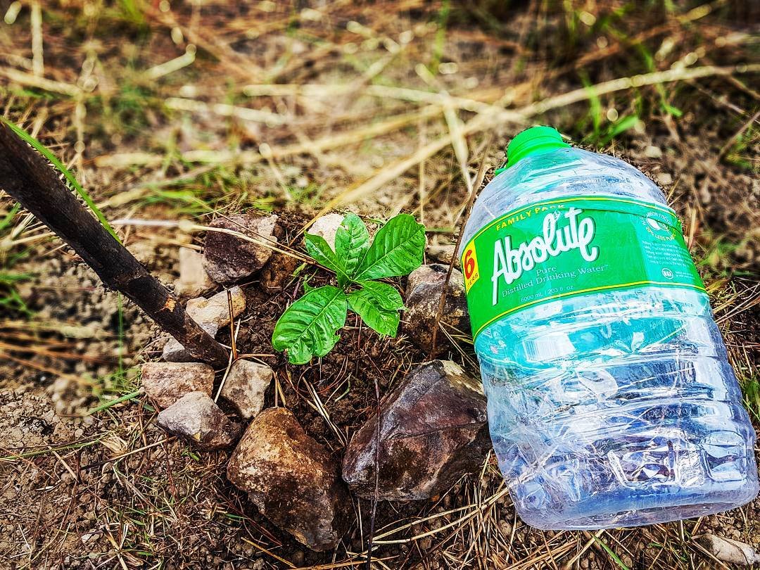
- Registration fee: ₱70 (day hike) or ₱90 (overnight), which includes a ~₱30 seedling fee; every hiker carries a seedling up and plants it in a barren zone, in March to May, you carry a water bottle instead to hydrate young trees
- Guide fee: ₱400 (day hike) or ₱600 (overnight), split among up to seven hikers per guide
- Best season is November to May; the trail closes without notice during heavy rain or typhoons because the powdery soil turns dangerous when wet
- Direct bus from Manila to the Puncan jump-off costs ₱450 to ₱550 and takes 4 to 5 hours (as of October 11, 2026; fares here follow diesel and gas prices)
Table of Contents
Mt. 387 at a Glance: Elevation, Trail Class, and Location
The alternate name, Batong Amat, translates roughly to “Ghost Rock.” It comes from the Tagalog phrase “Batong Maalamat,” meaning legendary or storied rock, because Filipino, Japanese, and American soldiers died and were buried on this mountain during World War II. That history is still visible on the trail today, in the foxholes and stone monuments at the summit.
The mountain stands on the Dingalan-Digdig Fault, an active segment of the Philippine Fault System. A five-meter easement on either side of identified ground ruptures limits where trails can be built, which is why some sections of the trail feel narrower than expected.
Over 18,490 hectares of the surrounding reserve carry a “Very High” landslide susceptibility rating, and another 5,306 hectares are rated “High.” The trail itself is maintained and safe during dry season, but this geological context explains why management closes the trail fast when weather turns.
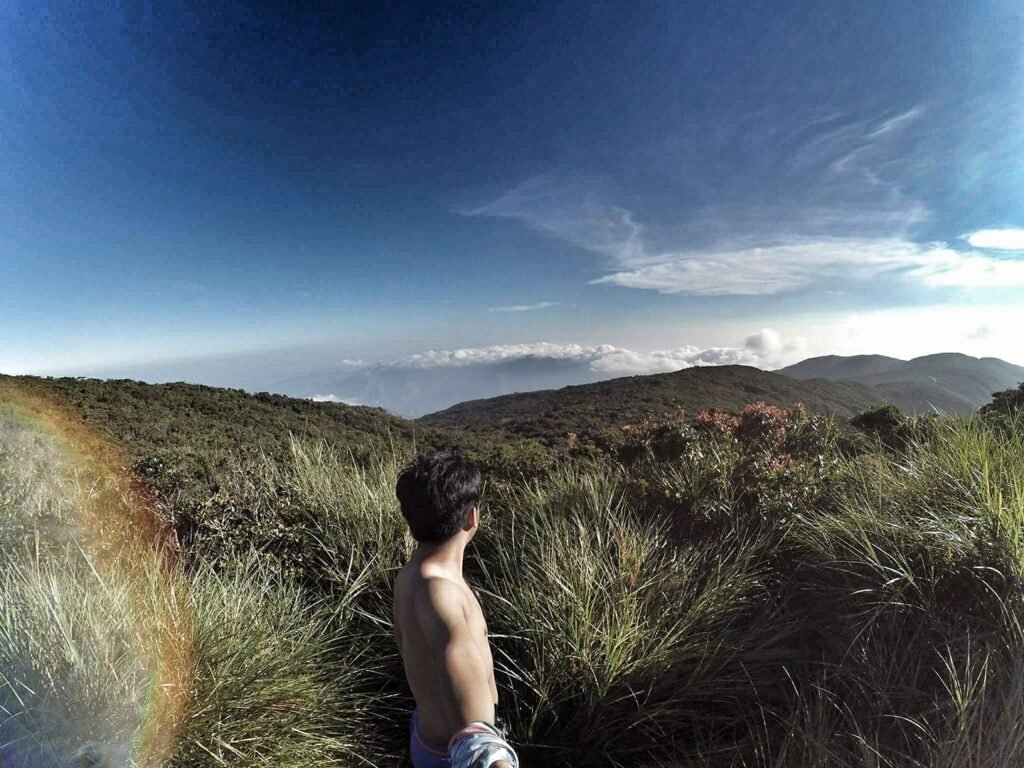
The two visual identities of Batong Amat are well-known among Philippine hikers: in dry season (November to May), the cogon-covered ridges turn golden brown and earn the nickname “Chocolate Hills of the North.” In wet season (June to October), those same ridges go green and people call it “Batanes of the North.”
Mt. 387 earns its place on the 28 Nueva Ecija tourist spots worth your time for exactly that reason: two completely different mountains depending on when you show up.
How to Get to Mt. 387 in Carranglan, Nueva Ecija
Fares as of October 11, 2026. These fares follow diesel and gas prices, so what you pay can be a little higher or lower than the figures below.
The jump-off is at the KM 175 marker on the Pan-Philippine Highway (Maharlika Highway), Barangay Puncan, Carranglan, Nueva Ecija. The registration site sits right beside a large Iglesia Ni Cristo chapel, the landmark to look for arriving by bus or private vehicle.
By direct bus (recommended): Board any northbound bus bound for Tuguegarao, Santiago, or Cagayan Valley at Cubao or Pasay. Victory Liner and Five Star both run this route. Tell the conductor to drop you at “Barangay Puncan” or “Iglesia Ni Cristo sa Carranglan.”
The fare is ₱450 to ₱550 per person and the ride takes 4 to 5 hours from Manila. From the chapel, the registration site is a five-to-ten-minute walk across the highway. Do not board a bus terminating in Cabanatuan or San Jose City only, you will be dropped at the city terminal and need a separate ride to Puncan.
Via San Jose City: Take a bus to San Jose City (fare about ₱260 from Manila). Then hire a tricycle (a three-wheeled motorcycle with a sidecar) directly to the KM 175 jump-off in Barangay Puncan. The tricycle fare is ₱100 and the ride takes about 30 minutes.
By private vehicle from Marilao, Bulacan: Enter NLEX northbound at the Marilao Toll Gate.
The Balintawak-to-Dau stretch costs:
- ₱411 (Class 1)
- ₱1,026 (Class 2)
- ₱1,232 (Class 3)
Continue onto SCTEX toward Tarlac City, then enter CLLEX. CLLEX cut the Tarlac City-to-Cabanatuan stretch from 70 minutes down to 20 minutes. The full drive from Marilao to Puncan now takes about 3 to 3.5 hours in light traffic.
From San Jose City, it is a 30-minute drive north along the Pan-Philippine Highway to the KM 175 jump-off. An RFID-enabled card (Easytrip for NLEX/SCTEX/CLLEX) is required.
The road to the jump-off is fully paved and a standard sedan or hatchback handles it without issue. Parking is available inside the INC compound or at the jump-off area.
There are no ATMs in Barangay Puncan. The nearest cash machine is in San Jose City, a 30-minute ride away. Withdraw everything you need before you leave Manila.
What Is the Mt. 387 Trail Like, and How Difficult Is It?
Mt. 387’s backtrail is rated 2/9, a genuine beginner hike with a short, manageable summit push. The full cross to Aloha Falls jumps to 4/9 because of a steep 50-to-70-degree descent on loose, powdery soil with fixed-rope sections. These are two different experiences, and which one you choose should depend on your fitness level and experience.
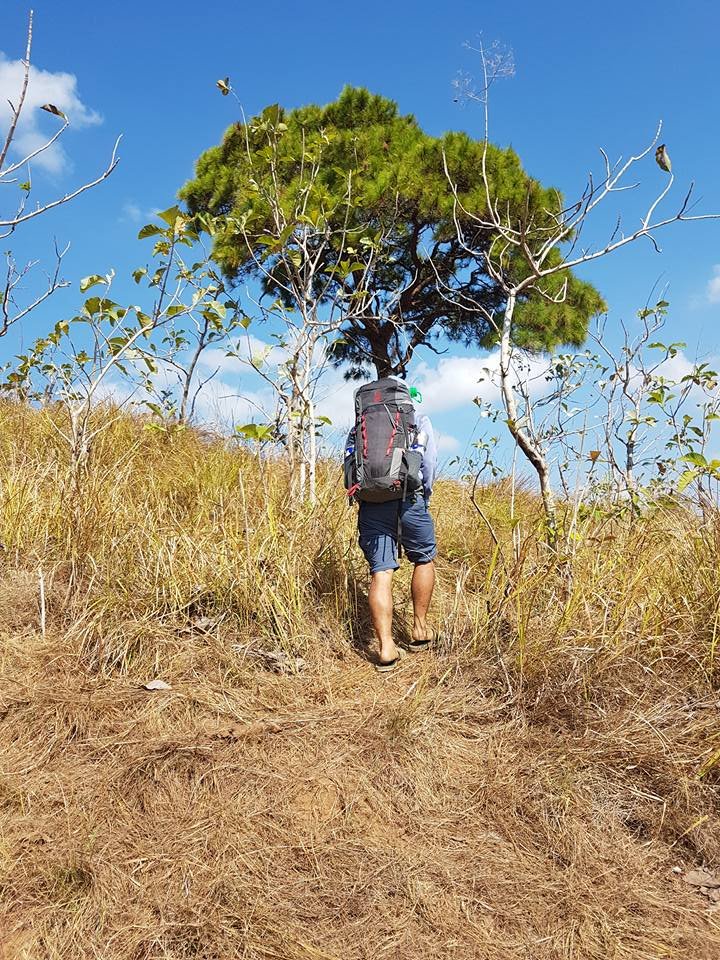
The trail has two distinct personalities depending on season. In dry season, the soil is powdery and loose, the cogon grass is gold-brown, and sun exposure on the upper half of the trail is total.
In wet season, that same powder turns to unstable mud, and the rope sections become significantly more dangerous. Management shuts the trail without prior notice when heavy rain is forecast.
Along the trail, you will notice deep depressions and foxholes in the ground. These are not natural formations. They come from past illegal treasure-hunting (excavation for what some believe to be Yamashita’s buried wartime gold).
Unauthorized excavation is now prohibited, but the holes remain. The Batong Amat Peace Park monument at the summit, with its tribute signage on limestone boulders, marks where soldiers from three nations died during the Second World War.
Cell signal is generally strong (rated +++ for major networks) across most of the trail, which is reassuring for a mountain with this kind of terrain and geological sensitivity.
Stage 1. Jump-off to Forest Section (0 to 45 minutes)
The first stretch runs through a shaded forest of pine, bamboo, and mixed hardwood. The path underfoot is compacted earth and exposed roots, and the canopy keeps the temperature manageable.
This is where to settle into a steady pace. Do not rush the forest section, your legs will need the reserve once the tree cover ends.
Stage 2. Grassland and Exposed Ridgeline (45 minutes to 2 hours)
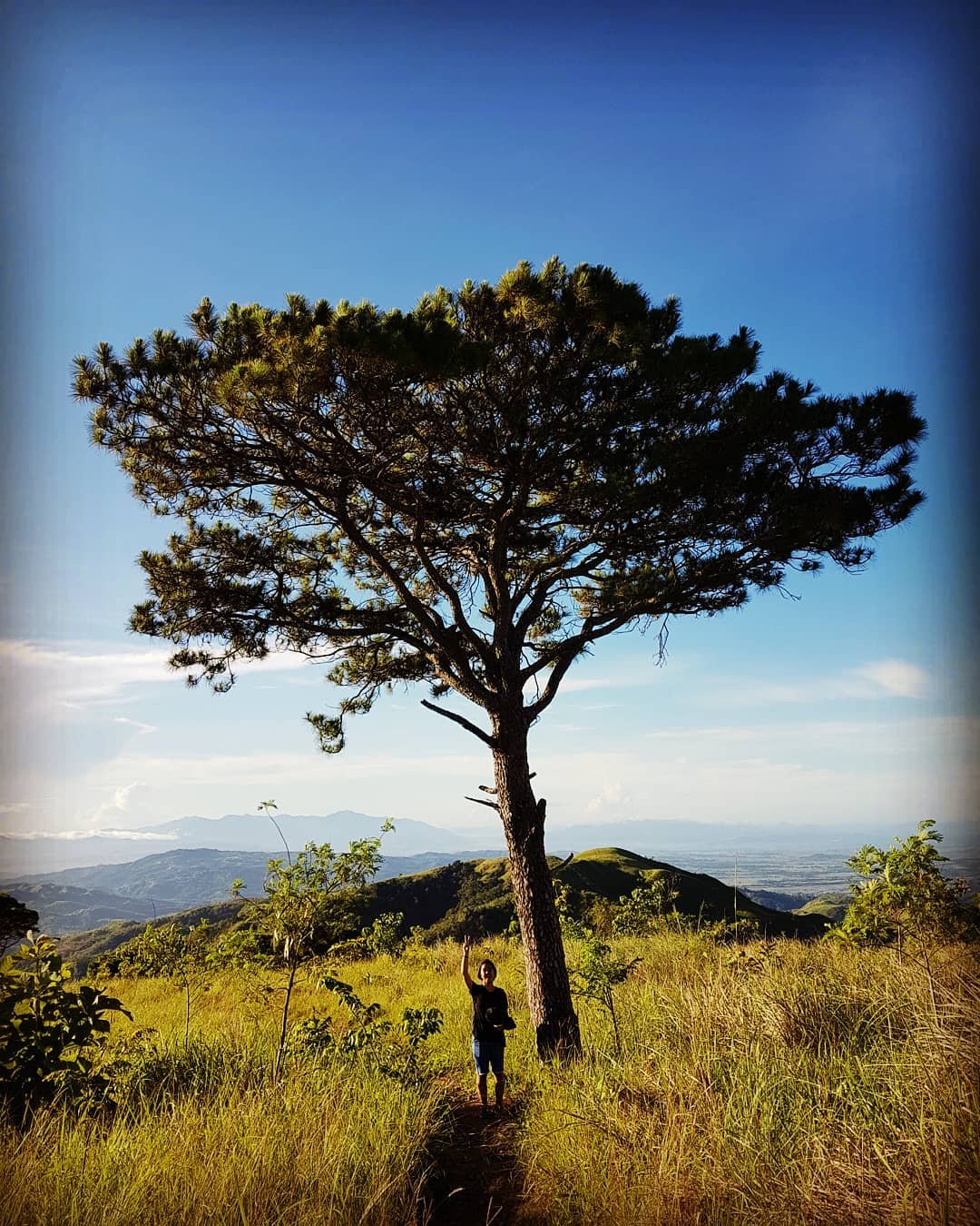
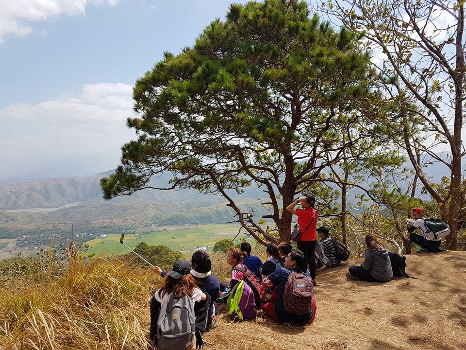
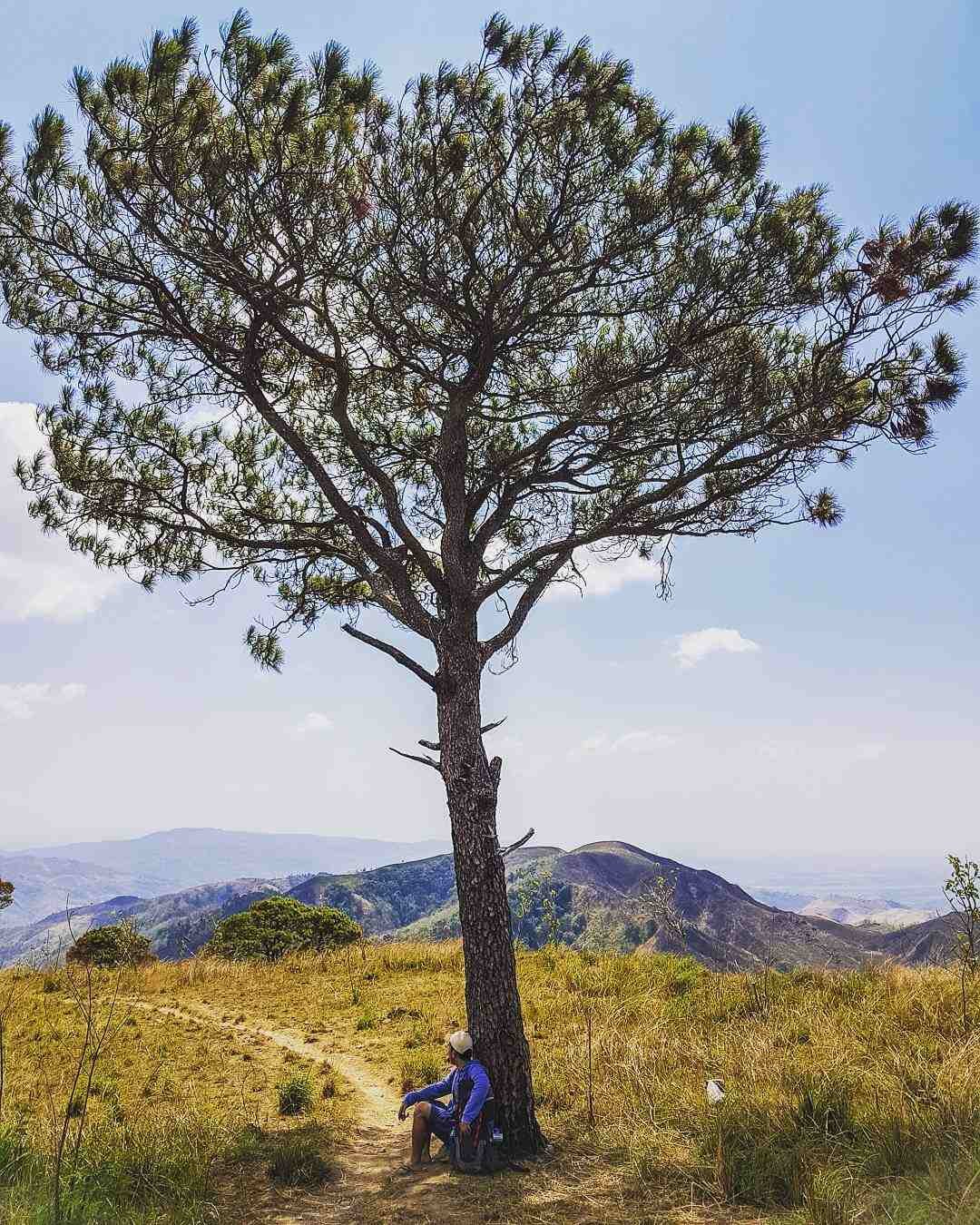
Once the forest ends, the trail opens onto cogon-and-talahib (tall wild grass) slopes with no shade. Every isolated tree on this stretch becomes a rest stop. The incline here reaches 50 to 60 degrees in places.
It is steep but short: push in bursts, rest at each tree, and you will manage it. I climbed in October 2026 on an overcast day and it was still warm past the tree line. I would not want to be on this section at noon in April without arm sleeves and at least two liters of water already on me.
Stage 3. Summit and Lover’s Tree (2 to 3 hours from jump-off)
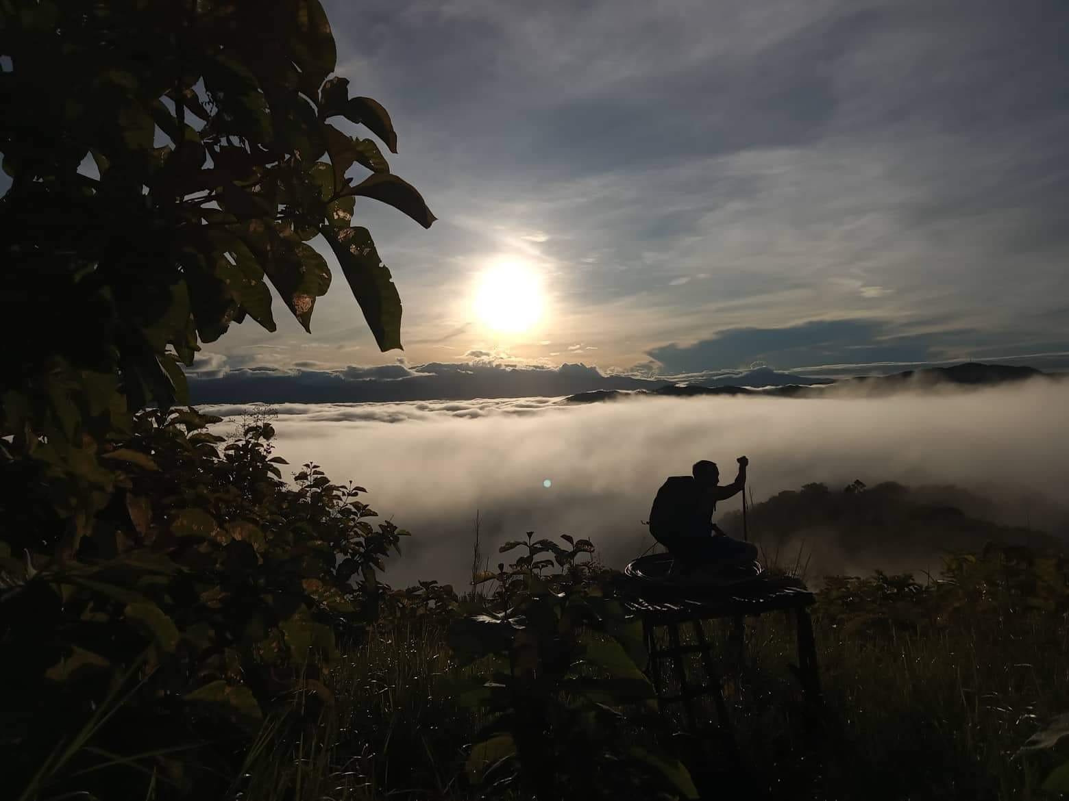
The summit is marked by the Batong Amat Peace Park monument: large limestone rock formations with memorial signage. From here, the “Chocolate Hills of the North” panorama opens across the Nueva Ecija ranges. A further five-minute walk leads to the Lover’s Tree, which is also the designated campsite for overnight hikers.
Local legend says kissing the tree helps you find a partner. There is no water source at the summit; the only water on the entire route is at Aloha Falls.
Stage 4. Cross to Aloha Falls (2 to 3 additional hours)
Gloves are not optional on this section. The old article called gloves “essential”. I agree, and I would add: garden gloves with grip are fine, but anything smooth will slide on a wet rope.
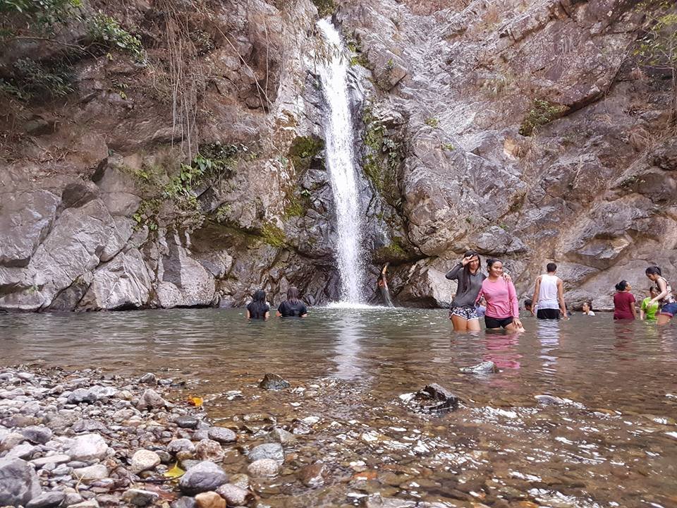
Aloha Falls is a multi-tiered cascade with a deep basin. Hikers who collect waterfall destinations should also check out the practical guide to Tulali Falls in Kapangan, Benguet for another rewarding falls hike with a similar community-managed setup. The water is cold and clear.
There is no separate entrance fee for the falls. From the falls, a truck service (locally called the “Elf” truck) runs back to the jump-off for ₱50 to ₱70 per head.
It is a bumpy, open-air 15-minute ride that beats walking the road back after a full cross. CHECK: whether Aloha Falls truck service has restricted months for the ride
The community managing Kapuncan (Kalinga sa Kalikasan ng Puncan), the local conservation organization, handles guide assignments and trail maintenance. This model is similar to what you find at Mt. Camisong Forest Park in Itogon, Benguet, where community stewardship also shapes the visitor experience. Hikers who want to take that community-managed format further into the Cordillera can look at the Bakun Trio hike itinerary, expense breakdown, and difficulty level as a natural next step.
Guides climb daily to monitor the seedlings planted by hikers. For a similarly community-managed waterfall destination in Nueva Ecija, the guide to Calabasa River in Gabaldon covers a comparable eco-destination worth adding to an extended Nueva Ecija trip.
If you want a DIY mt 387 hiking guide, the self-enough basics are straightforward:
- Register at the KM 175 jump-off beside the Iglesia Ni Cristo chapel in Barangay Puncan
- Pay the ₱70 day hike fee
- Bring 2 to 3 liters of water since there is no water source until Aloha Falls at the very end of the cross
That said, a guide is mandatory and cannot be skipped. The ₱400 guide fee covers up to seven hikers, so joining another group on a weekday keeps the per-head cost low.
Permits, Fees, and the Seedling Rule at Mt. 387
Registration at the KM 175 jump-off (beside the Iglesia Ni Cristo chapel) is mandatory before anyone starts the trail. The registration fee is ₱70 for a day hike and ₱90 for overnight camping. Both amounts include a ~₱30 seedling and environmental fee, the Luntian project, run by Kapuncan.
Every hiker receives a seedling at registration and carries it up the mountain, planting it in a designated barren zone during the ascent. In March to May, the extreme dry season, new seedling planting is suspended because survival rates drop too low. Instead, hikers carry small water bottles up and hydrate existing young trees along the trail.
The guide, who ascends daily, refills the slow-drip bottles beside each seedling. Kapuncan uses repurposed plastic bottles with punctured bases buried beside the plants as a slow-drip irrigation system.
The guide fee is ₱400 for a day hike and ₱600 for overnight camping, covering up to seven hikers per guide (ratio of 1:7). Hiring a guide is not optional: no hiker proceeds without one.
If you are hiking solo, arrive at the jump-off early on a weekday and ask to join another group to split the fee. On weekends, walk-ins are accepted for groups of one to five, but advance reservation is strongly recommended so you do not wait hours for a guide to become available.
Two rules apply beyond the seedling requirement:
- Unauthorized excavation (digging for buried treasure) is strictly prohibited
- A five-meter easement on either side of identified fault ground ruptures limits where hikers and infrastructure can operate
| Item | Day Hike | Overnight |
|---|---|---|
| Registration + seedling fee | ₱70 | ₱90 |
| Guide fee (per group, max 7) | ₱400 | ₱600 |
| Elf truck (falls to jump-off) | ₱50–₱70/head | ₱50–₱70/head |
| Bus Manila to Puncan | ₱450–₱550 | ₱450–₱550 |
| Tricycle San Jose City to Puncan | ₱100 | ₱100 |
Is Mt. 387 Creepy? The Foxholes, the Fault, and the Stories
Mt. 387 earns its “creepy” reputation from three concrete things: wartime burial sites, illegal excavation scars, and a name that literally means “Ghost Rock.”
The Batong Amat Peace Park monument at the summit exists specifically to mark that history. Some of the depressions you walk past on the trail are not natural. They are foxholes from wartime, and some were later widened by treasure hunters looking for what locals call Yamashita gold.
The Lover’s Tree at the campsite carries its own quieter legend: touch or kiss the bark and you will find your partner. Local guides tell it matter-of-factly, not to spook you, but the tree does look ancient and wind-carved in a way that earns the attention.
The trail is safe in dry season, but the fault context is real. The combination of war dead, treasure pits, and an active fault line gives Mt. 387 a specific atmosphere that other beginner mountains in Luzon do not have. Whether that reads as creepy or historically interesting depends on who you ask, but it is not marketing: the foxholes are there, and the guides will point them out.
Best Time to Climb Mt. 387 and Aloha Falls
You carry water bottles instead of seedlings. The hike is still fully open, but the conservation activity changes.
Trail closures happen without advance notice. There is no published closure calendar. If you are planning a trip during the June-to-October wet season, contact Sir Roy Manuzon the day before to confirm conditions.
I climbed in October 2026, which is late wet season, and the ridges were green rather than gold. The trail was firm on the day I went, but the guide confirmed that two typhoon-related closures had already happened that month. If the golden-brown look is what you came for, go in February or March.
Sample Itinerary: Day Hike to Mt. 387 and Aloha Falls
This schedule works for a group leaving Metro Manila. Adjust departure time if you are coming from Nueva Ecija or nearby provinces.
Day hike with Aloha Falls cross:
| Time | Activity |
|---|---|
| 10:00 PM (night before) | Board overnight bus at Cubao or Pasay (Victory Liner / Five Star bound for Cagayan Valley) |
| 3:00–4:00 AM | Arrive at KM 175, Barangay Puncan; rest at the registration area |
| 5:00 AM | Registration, briefing, seedling distribution; guide assigned |
| 5:30 AM | Begin ascent |
| 7:30–8:30 AM | Reach summit (Batong Amat Peace Park); rest, photos, plant seedling or water trees |
| 9:00 AM | Begin traverse descent toward Aloha Falls |
| 11:00 AM–12:00 PM | Arrive at Aloha Falls; swim, rest, eat packed lunch |
| 12:30 PM | Board Elf truck back to jump-off (₱50–₱70/head, ~15 minutes) |
| 1:00–2:00 PM | Return to jump-off; shower if available, settle fees |
| 2:00–3:00 PM | Board northbound or southbound bus back to Manila |
| 6:00–8:00 PM | Arrive Manila |
Overnight option: Hikers who want to camp stay at the Lover’s Tree campsite near the summit. Registration is ₱90 instead of ₱70, and the guide fee rises to ₱600.
Bring a tent and all food, since there are no vendors on the trail and no water source before Aloha Falls. A sleeping bag or liner is useful even in dry season because ridge nights in Nueva Ecija are cooler than the daytime heat suggests.
Starting before 6 AM matters for two reasons:
- You beat the midday heat on the exposed ridgeline
- You arrive at Aloha Falls before early afternoon, when the truck service back to the jump-off is most reliable
What to Pack for Mt. 387
Pack for heat and a steep descent, not just a mountain walk. The trail is mostly exposed, the soil is powdery and slippery in dry season, and the only water on the route is at Aloha Falls at the very end of the cross.
| Item | Notes |
|---|---|
| 2 to 3 liters of water | No source until Aloha Falls; bring more in March to May |
| Trail shoes or mid-cut boots | Deep-lug soles; flat sneakers slide on the powdery soil |
| Hiking gloves | Mandatory for the rope section on the traverse descent |
| Sun protection | Cap, arm sleeves, SPF 50+ sunscreen; most of the trail above the forest line is unshaded |
| Long sleeves or leggings | Protection against talahib (tall wild grass) cuts on the ridgeline |
| Packed food and snacks | No vendors anywhere on the trail |
| Headlamp | Required for pre-dawn starts |
| Change of clothes | For after the Aloha Falls swim and the post-hike cleanup |
| Valid ID | Required at registration |
| Cash in small bills (₱20s, ₱50s) | No ATMs in Puncan; nearest is in San Jose City |
| Rain jacket | June to October or during transition months |
| Trekking poles | Optional but useful on the steep traverse descent |
Single-use plastics are strictly prohibited on the trail. Pack your food in reusable containers or sealed bags. The Kapuncan guides enforce this at registration.
Frequently Asked Questions About Mt. 387
What is the elevation of Mt. 387 in MASL?
Mt. 387 sits at 724 MASL. The actual elevation gain from the KM 175 jump-off is about 387 to 400 meters, since the trailhead sits well below the summit. Trail length for the full cross is about 7.1 miles (about 11.4 km) and total completion time including Aloha Falls runs roughly 5 to 6 hours of walking.
Is Mt. 387 good for beginners?
The backtrail to the summit is beginner-friendly, rated 2/9 with a trail class of 1. The cross to Aloha Falls is rated 4/9 and is not recommended for first-time hikers because of the 50-to-70-degree descent on loose soil and fixed-rope sections.
For beginners who want to see Aloha Falls, save the cross for a second visit. The collection of beginner-friendly minor climbs in the Philippines can help you build up to the full cross.
Is a guide mandatory at Mt. 387?
Yes, a local guide is strictly required. No hiker proceeds past the registration area without one.
Guide fee is ₱400 for a day hike and ₱600 for overnight, covering up to seven hikers per guide. Reserve in advance through Sir Roy Manuzon at +63 917 571 2152, especially for weekend visits.
Is there a daily quota or can you just walk in?
There is no fixed numerical cap, but trail capacity is limited by guide availability. Walk-ins are accepted for groups of one to five.
On weekends, walk-ins risk waiting hours for a guide to become free. Advance reservation is strongly recommended for Saturday and Sunday visits.
Is there cell signal on the trail?
Yes. Major networks carry strong signal (rated +++ on most carriers) across most of the trail. Coverage is present even near the summit and along the cross.
Where can you camp on Mt. 387?
The designated campsite is in the flat area near the Lover’s Tree, a short walk past the summit. Overnight registration is ₱90 (versus ₱70 for a day hike) and the overnight guide fee is ₱600. There are no facilities at the campsite, so bring your own tent, food, and all water you need for the night.
What is Kapuncan and what does it manage?
Kapuncan stands for Kalinga sa Kalikasan ng Puncan, the community organization that manages Mt. 387. It runs the Luntian reforestation project (the seedling-carry-and-plant program), assigns guides, monitors planted seedlings daily, and enforces trail rules including the ban on single-use plastics and unauthorized excavation. Fees paid at registration go directly to this organization and to the guides.
Can you visit Aloha Falls without climbing Mt. 387?
Aloha Falls is only accessible via the cross route from the Mt. 387 summit. There is no separate entrance road or short trail to the falls. You must complete the ascent and then cross down the opposite side to reach it, which adds 2 to 3 hours to the hike.
Is Mt. 387 Worth the Climb?
Mt. 387 is worth it for beginners who want a mountain that gives back something beyond a view:
- The conservation angle is real
- The history is present on the trail
- Aloha Falls at the end of the cross is a legitimate reward after a hard descent
Do the full cross, or plan the backtrail as a warm-up hike for a bigger Central Luzon itinerary that also includes Minalungao National Park, which is about an hour from San Jose City.
Who should skip it: anyone who struggles in direct heat at sea level, because the exposed ridgeline above the forest section is punishing in dry season. Those hikers may prefer cooler alternatives:
- Mt. Kabunian in Bakun, Benguet, which has a full DIY travel guide available
- Mt. Yangbew in Benguet, with its fees, trail tips, and what to expect
Anyone who needs a shade break every ten minutes