Last updated: August 2026
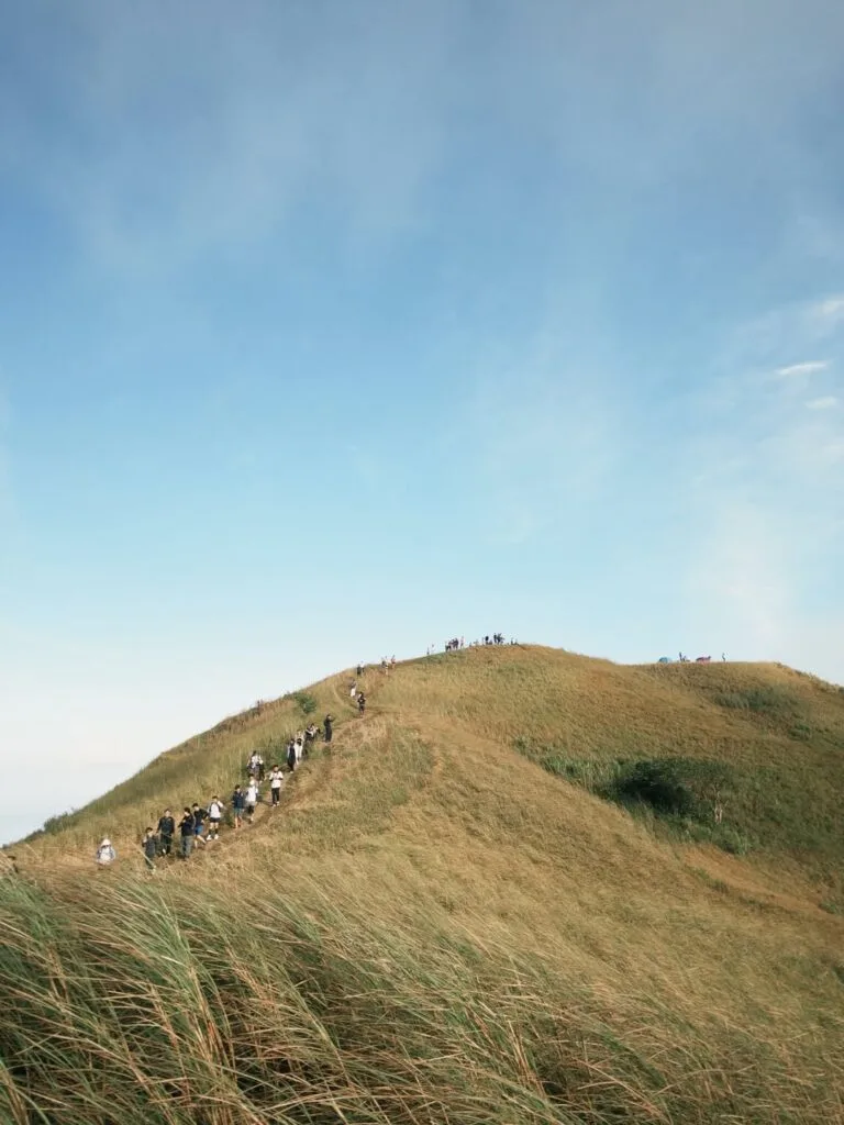
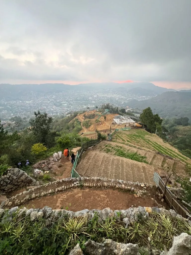
Mt. Yangbew is a beginner-friendly mountain in Barangay Tawang, La Trinidad, Benguet, standing at 1,648 meters above sea level. Despite what the photos suggest, it is an easy hike of about 20 to 30 minutes to the top, with the steep paved first stretch being the hardest part before the trail turns to dirt. It is one of the most accessible highland day hikes near Baguio City, and it genuinely earns its “Little Pulag” nickname when the sea of clouds rolls in at dawn.
Mt. Yangbew Quick Guide
| Detail | Info |
|---|---|
| Mountain | Mt. Yangbew (also Mt. Jumbo / Mt. Jambo) |
| Location | Sitio Binat, Barangay Tawang, La Trinidad, Benguet |
| Province | Benguet, Cordillera Administrative Region |
| Elevation | 1,648 meters above sea level |
| Difficulty | Class 1 to 2 (Beginner / Minor Climb) |
| Jump-off | Sitio Binat, Barangay Tawang |
| Best Season | November to April (dry season); October to December for Benguet lily blooms |
| Trek Time | 20 to 45 minutes to summit (ascent); 15 to 30 minutes descent |
| Registration | At jump-off tollgate or Barangay Tawang hall |
| Campsite | Open summit grassland (exposed, no windbreak) |
Table of Contents
Permits, Fees, and Guide Requirements at Mt. Yangbew
Mt. Yangbew charges an entrance fee of ₱50 per head for local adults, collected at the registration tollgate at the jump-off in Sitio Binat, Barangay Tawang.
Registration happens at the makeshift toll gate at the trailhead. Staff issue official tickets. No advance booking is required. You pay on the spot. Bring exact cash because GCash and digital payments are unreliable here due to weak signal at the trailhead. The full fee schedule as of 2026 is:
| Category | Fee (PHP) |
|---|---|
| Local hiker (day trip) | ₱30 to ₱50 |
| Student (local, with valid ID) | ₱25 |
| Foreign tourist | ₱50 |
| Overnight camping (per head) | ₱100 (+ ₱500 group security fee) |
| Biker (local / foreign) | ₱30 / ₱50 |
| Horseback riding (30 min) | ₱150 |
| Horseback riding (1 hour) | ₱300 |
| Horse photo op (static) | ₱25 |
Is a guide required? No. There’s only one trail leading to the summit from the jump-off, so guides are not required, but should you need one, you can inquire at the reception. The trail is wide, well-worn, and impossible to lose. A guide is genuinely optional here, unlike technical mountains in other parts of Benguet. If you want a contrast, see the Mt. Pulag guide via the Ambangeg Trail where registration and guide protocols are much stricter.
What Is the Mt. Yangbew Trail Like?
Mt. Yangbew is a Class 2 minor climb with a total ascent of roughly 223 meters from the trailhead to the summit, achievable in 20 to 45 minutes.
Mt. Yangbew offers three distinct trails: the popular but challenging Tawang-Ambiong road (900m, 179m gain), the moderate Boted Turning Point (1.4km, 221m gain), and the easiest Shilan-Beckel road (1.6km, 177m gain). Most visitors use the main Tawang-Ambiong road trail from the registered jump-off. That’s what this section covers.
Stage 1: The Paved Assault (Trailhead to End of Cement Road)
Difficulty: 5/5. This is the hardest 10 minutes of the entire hike. The trail starts the moment you pass through the registration gate at Sitio Binat. What greets you is an aggressively steep cemented road with zero mercy. The very first part of the hike, which is the paved road, is the hardest as it is very steep. If you’ve come straight from Manila with zero acclimatization, your lungs will notice the altitude immediately. Take short rests. There is no shame in it. Even people who hike regularly stop here.
Stage 2: The Dirt Trail (End of Pavement to Summit)
Difficulty: 2/5. Wide, clear, and steady. After the paved road, the trail winds into a dirt path up to the summit. The footing is loose soil mixed with small rocks, so wear shoes with grip. The trail is broad enough to walk side by side and there are no confusing forks. A small makeshift hut with a rest area sits about 15 minutes before the summit.
Fifteen minutes before the summit there is a rest area and a small shop where one can buy cold drinks, brewed coffee, instant noodles, and boiled eggs. This is also roughly where cell signal starts getting patchy. Don’t count on making calls here; if you need to coordinate with someone, do it at the trailhead.
Stage 3: Summit Grasslands
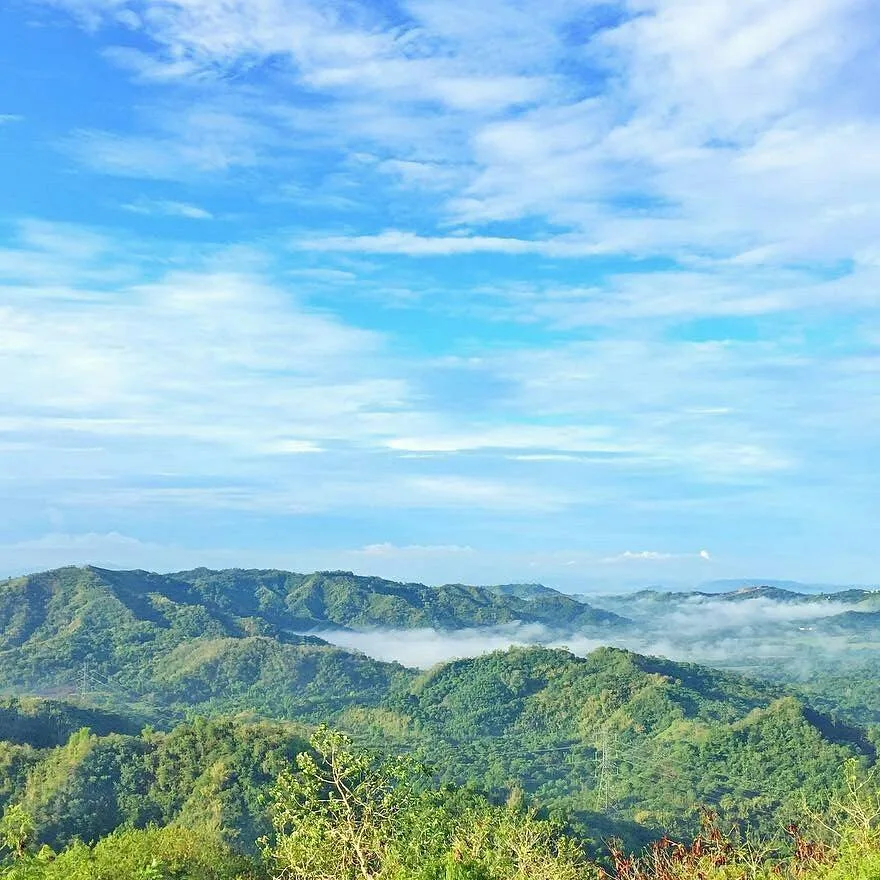
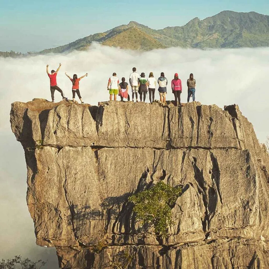
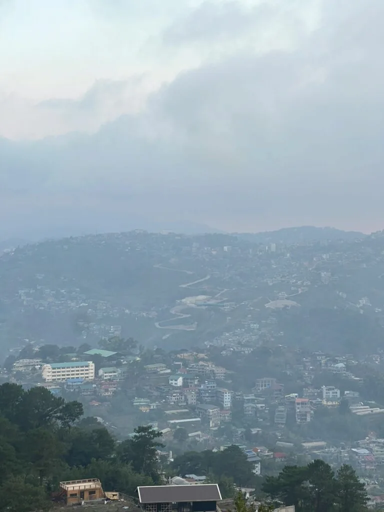
Difficulty: 1/5. Flat, open, and wide. The summit of Mt. Yangbew is covered with shrubs and grasslands. Rock formations are scattered across the top, perfect for sitting and for photos. The summit has unique rock formations and a 360-degree view of the La Trinidad Valley and Baguio City. There are no trees, which means no shade. Come prepared.
Toilets: There is no formal restroom at the summit. The trailhead registration area has a basic comfort room. Beyond that, you’re on your own. Plan accordingly, and pack out everything you bring up.
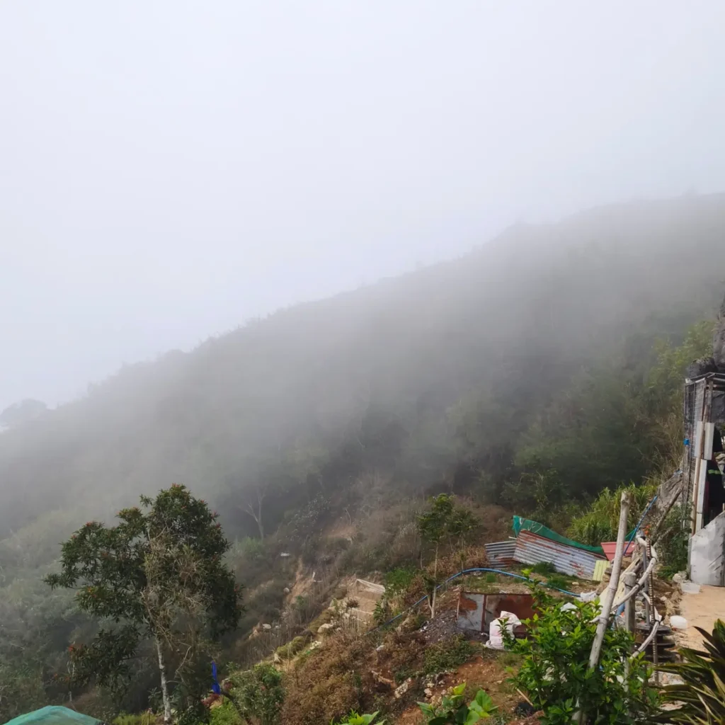
I was there in August 2026 when the weather was cloudy with a bit of rain. The dirt trail turned slick on the way down and the rocks at the summit were wet. Visibility was reduced, and the sea of clouds was replaced by actual cloud sitting right on the mountain. Not the sunrise photo I was hoping for.
But the cooler temperature made the climb itself far more comfortable than the midday sun would have allowed. The wet season strips the postcard views but gives you the trail mostly to yourself.
Permits, Fees, and Guide Requirements at Mt. Yangbew
Mt. Yangbew charges an entrance fee of ₱50 per head for local adults, collected at the registration tollgate at the jump-off in Sitio Binat, Barangay Tawang.
Registration happens at the makeshift toll gate at the trailhead. Staff issue official tickets. No advance booking is required. You pay on the spot. Bring exact cash because GCash and digital payments are unreliable here due to weak signal at the trailhead. The full fee schedule as of 2026 is:
| Category | Fee (PHP) |
|---|---|
| Local hiker (day trip) | ₱30 to ₱50 |
| Student (local, with valid ID) | ₱25 |
| Foreign tourist | ₱50 |
| Overnight camping (per head) | ₱100 (+ ₱500 group security fee) |
| Biker (local / foreign) | ₱30 / ₱50 |
| Horseback riding (30 min) | ₱150 |
| Horseback riding (1 hour) | ₱300 |
| Horse photo op (static) | ₱25 |
Is a guide required? No. There’s only one trail leading to the summit from the jump-off, so guides are not required, but should you need one, you can inquire at the reception. The trail is wide, well-worn, and impossible to lose. A guide is genuinely optional here, unlike technical mountains in other parts of Benguet.
What Is the Mt. Yangbew Trail Like?
Mt. Yangbew is a Class 2 minor climb with a total ascent of roughly 223 meters from the trailhead to the summit, achievable in 20 to 45 minutes.
Mt. Yangbew offers three distinct trails: the popular but challenging Tawang-Ambiong road (900m, 179m gain), the moderate Boted Turning Point (1.4km, 221m gain), and the easiest Shilan-Beckel road (1.6km, 177m gain). Most visitors use the main Tawang-Ambiong road trail from the registered jump-off. That’s what this section covers.
Stage 1: The Paved Assault (Trailhead to End of Cement Road)
Difficulty: 3/5. This is the hardest 10 minutes of the entire hike. The trail starts the moment you pass through the registration gate at Sitio Binat. What greets you is an aggressively steep cemented road with zero mercy. The very first part of the hike, which is the paved road, is the hardest as it is very steep. If you’ve come straight from Manila with zero acclimatization, your lungs will notice the altitude immediately. Take short rests. There is no shame in it. Even people who hike regularly stop here.
Stage 2: The Dirt Trail (End of Pavement to Summit)
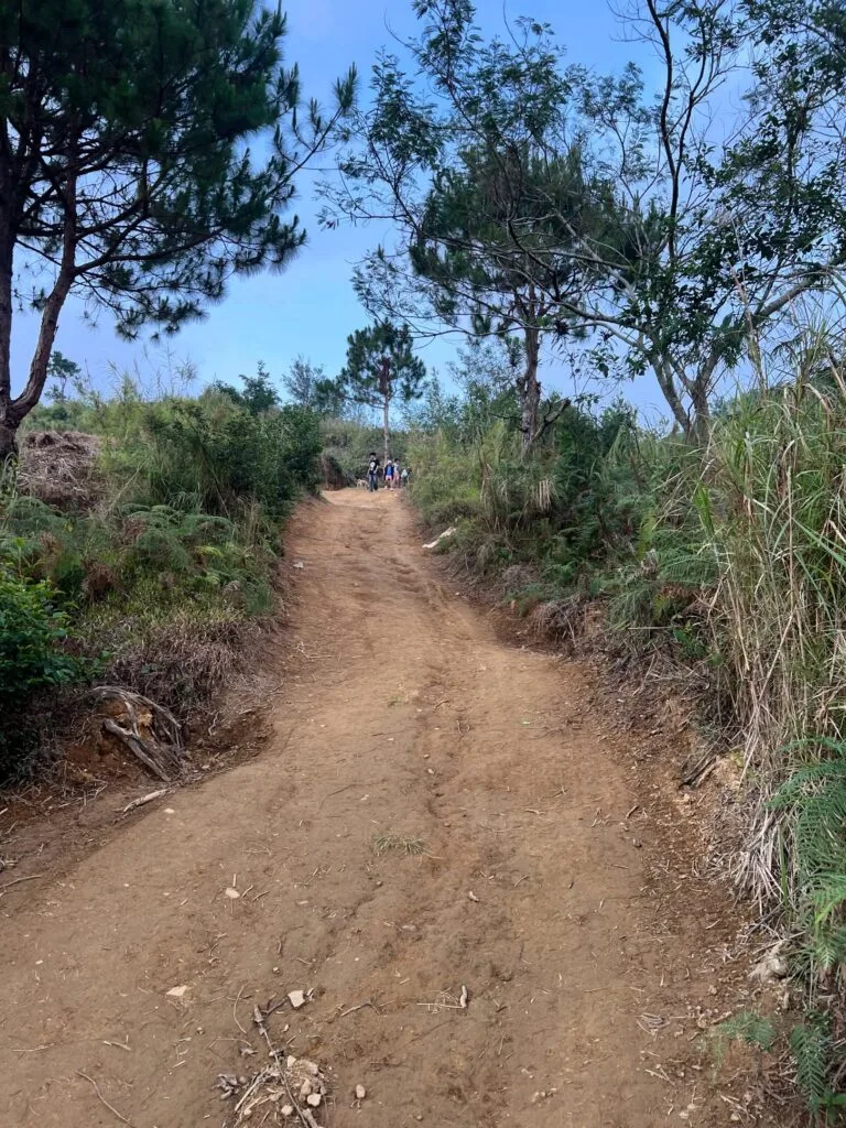
Difficulty: 2/5. Wide, clear, and steady. After the paved road, the trail winds into a dirt path up to the summit. The footing is loose soil mixed with small rocks, so wear shoes with grip. The trail is broad enough to walk side by side and there are no confusing forks. A small makeshift hut with a rest area sits about 15 minutes before the summit. Fifteen minutes before the summit there is a rest area and a small shop where one can buy cold drinks, brewed coffee, instant noodles, and boiled eggs.
This is also roughly where cell signal starts getting patchy. Don’t count on making calls here; if you need to coordinate with someone, do it at the trailhead.
Stage 3: Summit Grasslands
Difficulty: 1/5. Flat, open, and wide. The summit of Mt. Yangbew is covered with shrubs and grasslands. Rock formations are scattered across the top, perfect for sitting and for photos. The summit has unique rock formations and a 360-degree view of the La Trinidad Valley and Baguio City. There are no trees, which means no shade. Come prepared.
Toilets: There is no formal restroom at the summit. The trailhead registration area has a basic comfort room. Beyond that, you’re on your own. Plan accordingly, and pack out everything you bring up.
I was there in August 2026 when the weather was cloudy with a bit of rain. The dirt trail turned slick on the way down and the rocks at the summit were wet. Visibility was reduced, and the sea of clouds was replaced by actual cloud sitting right on the mountain. Not the sunrise photo I was hoping for.
But the cooler temperature made the climb itself far more comfortable than the midday sun would have allowed. The wet season strips the postcard views but gives you the trail mostly to yourself.
Best Time to Climb Mt. Yangbew
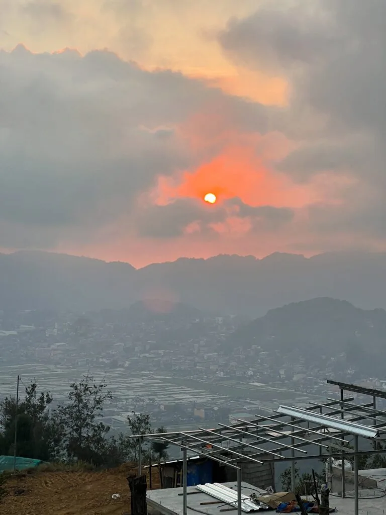
The best time to hike Mt. Yangbew for the sea of clouds is between November and April, arriving at the summit before 6:00 AM.
The dry season (November to April) offers the clearest mornings and the highest chance of catching the atmospheric inversion layer that creates the “Little Pulag” sea of clouds effect. For the Mt. Yangbew sea of clouds sunrise experience, start your hike by 4:30 AM to 5:00 AM with a good headlamp. It’s best to start your descent by 8:30 or 9:00 AM because by mid-morning the sun on that exposed summit becomes intense and the magic of the early light is gone.
Late afternoon is the second best window. Sunset visits are popular and the light on the La Trinidad valley is genuinely worth it. While open anytime, the weather can be unpredictable, with fog often obscuring views in the afternoon. October to December also brings seasonal Benguet lily blooms on the lower trail sections, which adds a pleasant botanical side note for those who notice flora.
Wet season (June to September) means slippery trails, reduced visibility, and a much quieter mountain. The hike is still doable, as I can confirm from my August 2026 visit, but manage your expectations around the views.
Budget Breakdown for Climbing Mt. Yangbew
A basic day hike on Mt. Yangbew from Baguio costs roughly ₱300 to ₱500 total per person, including transport and fees.
| Expense | Cost (PHP) |
|---|---|
| Bus fare (Manila to Baguio, one way) | ₱740 to ₱1,770+ depending on class |
| Jeepney fare, Baguio to KM 4 La Trinidad | ₱17 to ₱20 |
| Jeepney fare, Pines Park to Mt. Yangbew sign | ₱17 to ₱20 |
| Taxi / Grab, Baguio to trailhead (one way) | ₱150 to ₱250 |
| Entrance fee (local adult day hike) | ₱50 |
| Water and snacks (bring from Baguio) | ₱50 to ₱150 |
| Rest area snacks on trail (optional) | ₱30 to ₱80 |
| Horseback riding (optional, 30 min) | ₱150 |
| Overnight camping fee (optional, per head) | ₱100 + ₱500 group security fee |
| Total day hike (jeepney transport) | ~₱200 to ₱380 |
| Total day hike (taxi transport) | ~₱350 to ₱550 |
One practical note: bring physical cash for everything at the mountain. GCash connectivity is unreliable at the trailhead and nonexistent on the trail itself.
What to Pack for Mt. Yangbew
| Item | Essential? |
|---|---|
| Trail runners or rubber shoes with grip | Yes |
| Light rain jacket or poncho | Yes |
| Headlamp or flashlight (for pre-dawn starts) | Yes (sunrise hikers) |
| Sunscreen SPF 50+ | Yes |
| Wide-brimmed cap or hat | Yes |
| At least 1.5 liters of water | Yes |
| Snacks or packed meal | Yes (no food stalls at summit) |
| Extra cash (no GCash at trailhead) | Yes |
| First aid kit basics | Recommended |
| Wind-resistant tent (overnight only) | Yes (campers) |
| Insulated sleeping bag and thermal jacket (overnight only) | Yes (campers) |
| Portable camp stove and food (overnight only) | Yes (campers) |
| Umbrella | Strongly recommended for midday |
| Trekking poles | Optional but helpful on descent |
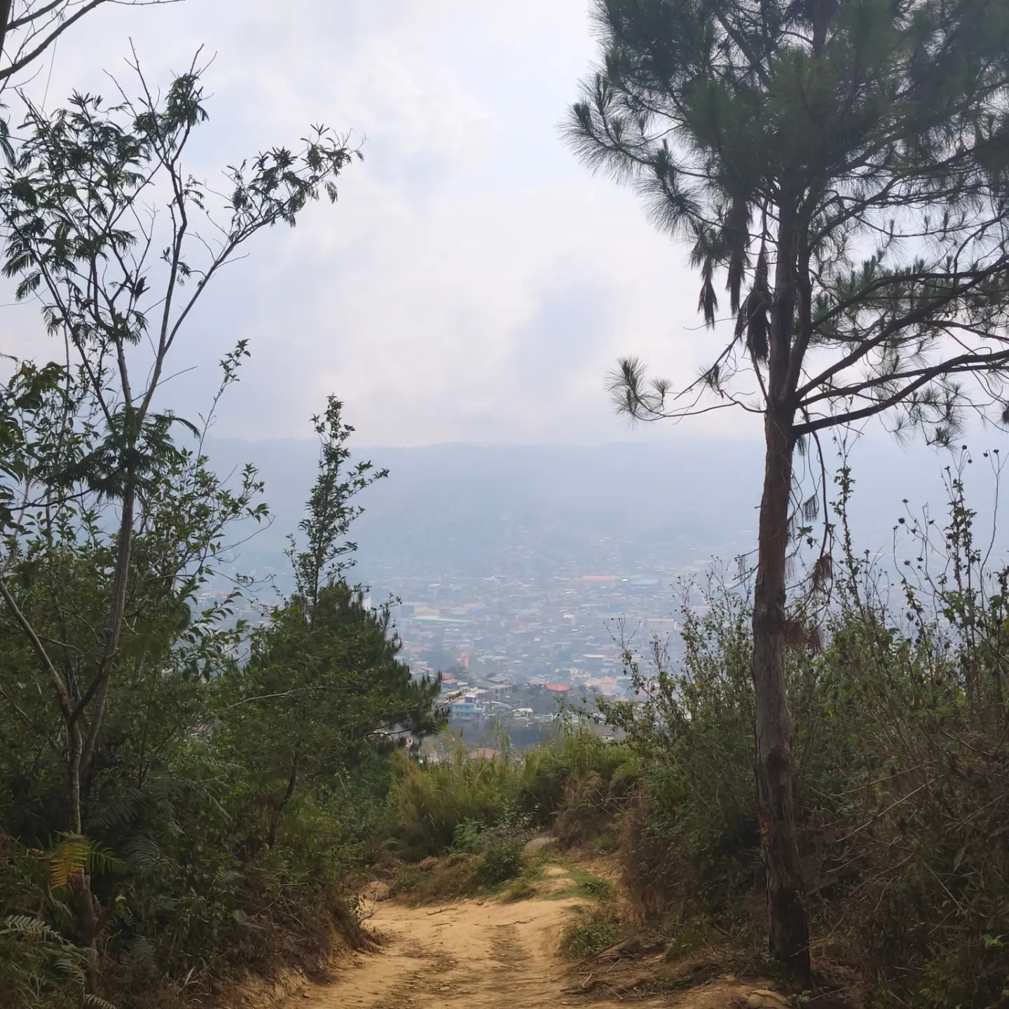
Footwear note: The dirt trail and loose rocks on the upper section need real grip. Trail runners are ideal. Walking shoes are required. Sandals or flat rubber shoes will struggle on the wet descent. Don’t learn this the hard way.
Clothing: Bring layers. Mornings at 1,648 meters are cold, especially before sunrise. By 9:00 AM the sun is already punishing. A light fleece over a dry-fit shirt, with a rain jacket in your bag, covers both extremes.
There are no food stalls or potable water sources on the trail or at the summit. Buy everything in Baguio before you go. The small rest-area shop 15 minutes below the summit stocks some basic items, but don’t depend on it as your only plan.
Safety Tips for Climbing Mt. Yangbew
Mt. Yangbew is a safe, low-risk hike, but the exposed summit and the steep paved section create specific hazards beginners overlook.
Sunburn and heat exhaustion: There are no trees along the trail so you are exposed to the sun the whole time. Apply sunscreen before you start, not at the summit. Carry a hat and an umbrella. These aren’t optional accessories here.
Slippery descent: The loose soil and small rocks on the dirt section become significantly more dangerous when wet. Rain on Mt. Yangbew comes fast and without warning. A light drizzle is enough to turn the upper trail slick. Take the downhill slowly and don’t rush.
Fog and zero visibility: Dense fog can roll in within minutes, especially on wet-season mornings. If visibility drops suddenly, stop moving until it clears slightly. The trail is wide but the edges near the rocks can be abrupt drops.
Getting back to Baguio: Don’t assume a ride will appear the moment you descend. Jeepneys only pass by once in a while and taxis rarely pass by. Use whatever phone signal you can get at the trailhead to call a Grab before you need it.
Alcohol ban: The consumption of alcoholic beverages is strictly prohibited on the mountain. Barangay watchers enforce this actively. Don’t bring it.
Leave No Trace: Pack out everything you carry in. Waste management infrastructure on the mountain is basic. Littering is a real problem on popular trails across Benguet, and Barangay Tawang has worked hard to prevent it here. Respect that. [OUTBOUND LINK: DENR official website] has updated guidelines on Leave No Trace principles for Philippine protected areas.
What Other Guides Get Wrong About Mt. Yangbew
Most guides undersell the difficulty of the first section and oversell the rest of the trail.
Every article says “easy hike, 20 to 30 minutes.” That’s true, but they rarely mention that the first five minutes on the paved road will make a sea-level visitor genuinely question their decision-making. It’s a short, brutal wall. The guides that say “anyone can do it” are right, but beginners from Manila should know it doesn’t feel gentle at the start.
They also overstate the availability of food on the trail. A few older guides mention “a shop near the summit” and leave it at that, making it sound like a reliable resupply point. That small rest-area hut exists, but its stock is limited and irregular. Assume it’s not there and bring your own food and water from Baguio.
Nobody talks about the return trip problem. The hardest part of a Mt. Yangbew day hike isn’t the climb, it’s waiting for transport back. Most guides don’t prepare you for a 30 to 60-minute wait at the roadside after your descent. Have a plan before you need one.
For a comparison in difficulty and logistics, the Mt. Ulap guide in Itogon, Benguet shows how much more demanding a Class 3 hike feels compared to Yangbew’s Class 2 terrain. And if you’re curious how Yangbew sits in the broader mountain landscape, this guide to mountains in the Philippines puts it in useful context.
Combining Mt. Yangbew and Mt. Kalugong in One Day
Mt. Yangbew and Mt. Kalugong are frequently done as a single-day twin hike, and the combination is genuinely worth doing if you have the time. If you have limited time, you can opt to visit only one, but it’s easy enough to combine the two for a morning hike and end with a bit of coffee and cake at a cafe up in the mountains or a side trip to the Strawberry Farm in La Trinidad.
The Mt. Yangbew and Mt. Kalugong day hike pairing works well because the two mountains sit close to each other in the same Barangay Tawang corridor. After descending Yangbew, walk or hail a short ride toward the Kalugong trailhead. Mt. Kalugong’s entrance fee is ₱100 for locals and includes access to its eco-park and the famous Kape-an café perched on the limestone cliff edge.
The café operates from 9:00 AM to 6:00 PM and serves brewed coffee, sisig tofu rice bowls, and artisanal pizza with views of the La Trinidad Strawberry Farms below. It’s a completely different energy from Yangbew’s open grassland, and that contrast is exactly what makes the twin hike rewarding.
For even more Benguet highland options, the Mt. Kabunian guide in Bakun and the Mt. Kotkot to Itogon traverse are solid next steps once you’ve built some trail confidence here.
Mt. Yangbew vs. Mt. Pulag: What’s the Real Difference?
The Mt. Yangbew vs. Mt. Pulag comparison gets asked a lot, and the honest answer is that they share aesthetics but nothing else. Mt. Yangbew earned the nickname “Little Pulag” because some of its spots, especially the sea of clouds before sunset, resemble Mt. Pulag. Both have treeless summits and a sea of clouds. That’s where the comparison ends.
Mt. Pulag is the third highest mountain in the Philippines at 2,922 meters, requires DENR permits, a registered guide, and multi-day preparation. Mt. Yangbew is a 20 to 45-minute walk with a ₱50 entrance fee.
If you want to experience what the Pulag aesthetic looks like without the full logistical and physical commitment, Yangbew is a legitimate preview. If you’re ready for the real thing, read the Mt. Pulag Ambangeg Trail guide. For a different Benguet highland experience with cultural depth, the Lake Tabeo guide in Kabayan is worth exploring after Yangbew.
PAGASA official weather forecast is useful to check 3 to 5 days before your planned climb date, especially if you’re targeting the sea of clouds phenomenon.
Frequently Asked Questions About Mt. Yangbew
How difficult is the hike up Mt. Yangbew for first-time hikers?
Mt. Yangbew is a Class 2 beginner hike suitable for first-time climbers with no prior mountaineering experience. Since it’s not too difficult, the hike is ideal for beginners, those traveling with kids, seniors, or pets. The one genuine challenge is the steep paved road at the very start, which hits your lungs and legs hard in the first five to ten minutes. After that, the dirt trail to the summit is gradual and easy to manage. Total ascent time is 20 to 45 minutes depending on your fitness level and how many times you stop.
How do you get to Mt. Yangbew from Baguio City by jeepney?
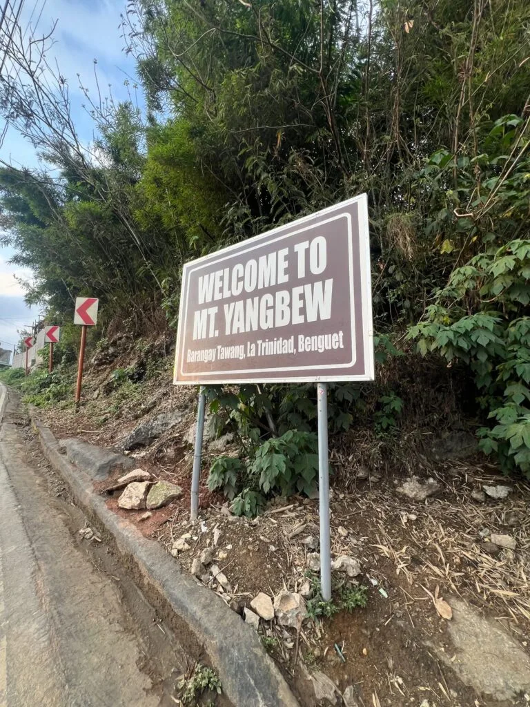
From the CBD, ride a La Trinidad jeepney and get off at Tiongsan La Trinidad, cross the bridge toward Pines Park, then take a Tawang jeepney and ask to be dropped at Mt. Yangbew. Jeepney stages depart from Magsaysay Avenue in Baguio City, in front of Baguio Center Mall. Each leg costs roughly ₱17 to ₱20. Tell the second jeepney driver to stop at the “Welcome to Mt. Yangbew” signage on the road in Sitio Binat, Barangay Tawang.
What is the entrance fee at Mt. Yangbew and what does it cover?
The entrance fee for Mt. Yangbew is typically around ₱50 per person for local adult hikers. Students with a valid school ID pay ₱25, and foreign tourists also pay ₱50. The fee is collected at the trailhead tollgate by authorized barangay personnel, who issue an official ticket. The fee funds trail maintenance, waste management, and environmental monitoring under Barangay Tawang’s ecotourism management program. You pay the entrance fee upon arrival at the registration office with no advance booking required.
What is the best time to hike Mt. Yangbew to see the sea of clouds?
The best time to see the Mt. Yangbew sea of clouds is between November and April, reaching the summit before 6:00 AM. Start hiking at 4:30 AM to 5:00 AM with a headlamp to time your arrival with the sunrise inversion layer. The weather can be unpredictable, with fog often obscuring views in the afternoon, so early morning is the most reliable window.
Is camping allowed at Mt. Yangbew and how much does it cost?
Yes, camping is allowed on the open summit grasslands of Mt. Yangbew. Overnight camping costs ₱100 per head plus a ₱500 per-group security fee. There are no designated tent pads or fixed campsite structures, just a broad expanse of grassland. Camping is an option, but be mindful of strong winds, especially in the morning.
Final Verdict: Should You Climb Mt. Yangbew?
Mt. Yangbew earns a 4.5 out of 5 for first-time and beginner hikers looking for a quick, rewarding highland experience near Baguio City. The hike is short, the cost is low, and the summit view of the La Trinidad valley and the surrounding Benguet peaks is genuinely payoff. The steep paved opening will test you for ten minutes, but everything after that is accessible to almost anyone with reasonable fitness.
Pair it with Mt. Kalugong on the same day and you’ve built a full morning that covers two very different ecosystems for under ₱500 total. For a longer Benguet challenge once you’re ready to push harder, the Mt. Purgatory traverse guide is a logical next step up from Mt. Yangbew’s easy terrain.