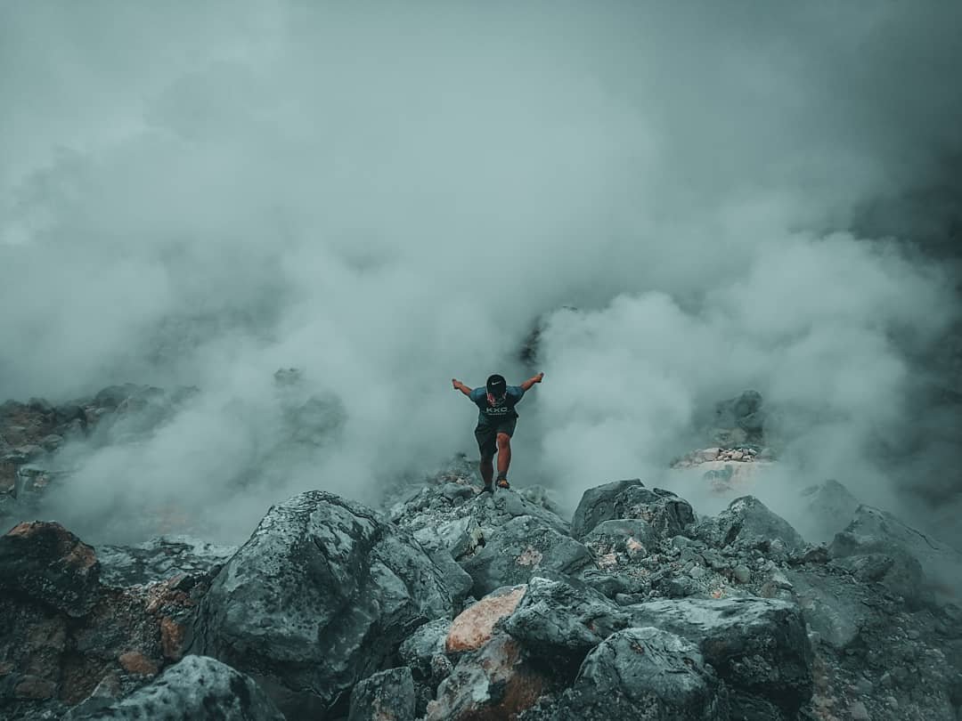
Mount Cagua is an active stratovolcano in Gonzaga, Cagayan, at the northeastern tip of Luzon, sitting at 1,133 meters above sea level. It is the only active volcano on the Cagayan mainland and, as of October 2026, is open to registered climbers with a mandatory local guide. Having visited in October 2026, I can say the real reason to make this trip is the campsite inside the caldera.
It is a forested clearing ringed by crater walls. A water source is nearby and the northern fumarole is a 20-minute walk away. I have been to 69 of the 82 provinces since 2015, and Cut the sentence or replace with a one-line specific: “The sulfur smell from the fumarole reaches camp by morning — a detail you will not get at any other site in Cagayan..
Key Takeaways
- Elevation: The summit crater rim stands at about 911 MASL, with the highest recorded point on the mountain at 1,168 MASL and the official elevation at 1,133 MASL.
- Difficulty: Rated 2/9, Class 1-2 on dry trails; this rises to medium difficulty in the wet season due to ankle-deep mud, thorny underbrush, and slippery slopes.
- Mandatory guide: One certified local guide is required for every four climbers. Walk-ins at the jump-off barangays are strictly prohibited.
- Pre-registration required: Contact the Gonzaga Tourism Office before you travel. Coordinate your climb date, group size, and guide assignment by phone or email before heading to Cagayan.
- Best months: February and March offer the most stable trail conditions and clearest summit views. Avoid May to October if possible.
- Permit fee: ₱150-180 per Filipino; ₱250 per foreign national. Guide fee: ₱500 for a day hike or ₱1,000 for an overnight, covering up to four climbers. Change to: “Fares and fees are current as of October 13, 2026 and subject to change..
Table of Contents
Mt. Cagua Location: Where Is This Volcano?
Mount Cagua stands in the municipality of Gonzaga in Cagayan Province, in the northeastern corner of Luzon. The exact coordinates are 18.22051°N, 122.11095°E.
It sits within the Northern Sierra Madre Natural Park (NSMNP), a protected area under the NIPAS Act. This means the rules governing entry and conduct are stricter than on an ordinary municipal hiking trail.
The Cagua volcano location puts it roughly 2 to 3 hours by road from Tuguegarao City, the provincial capital and the nearest airport. The volcano sits alone within the Sierra Madre range rather than clustered with other volcanic centers. That is part of what makes this volcano in Gonzaga, Cagayan worth the longer travel time.
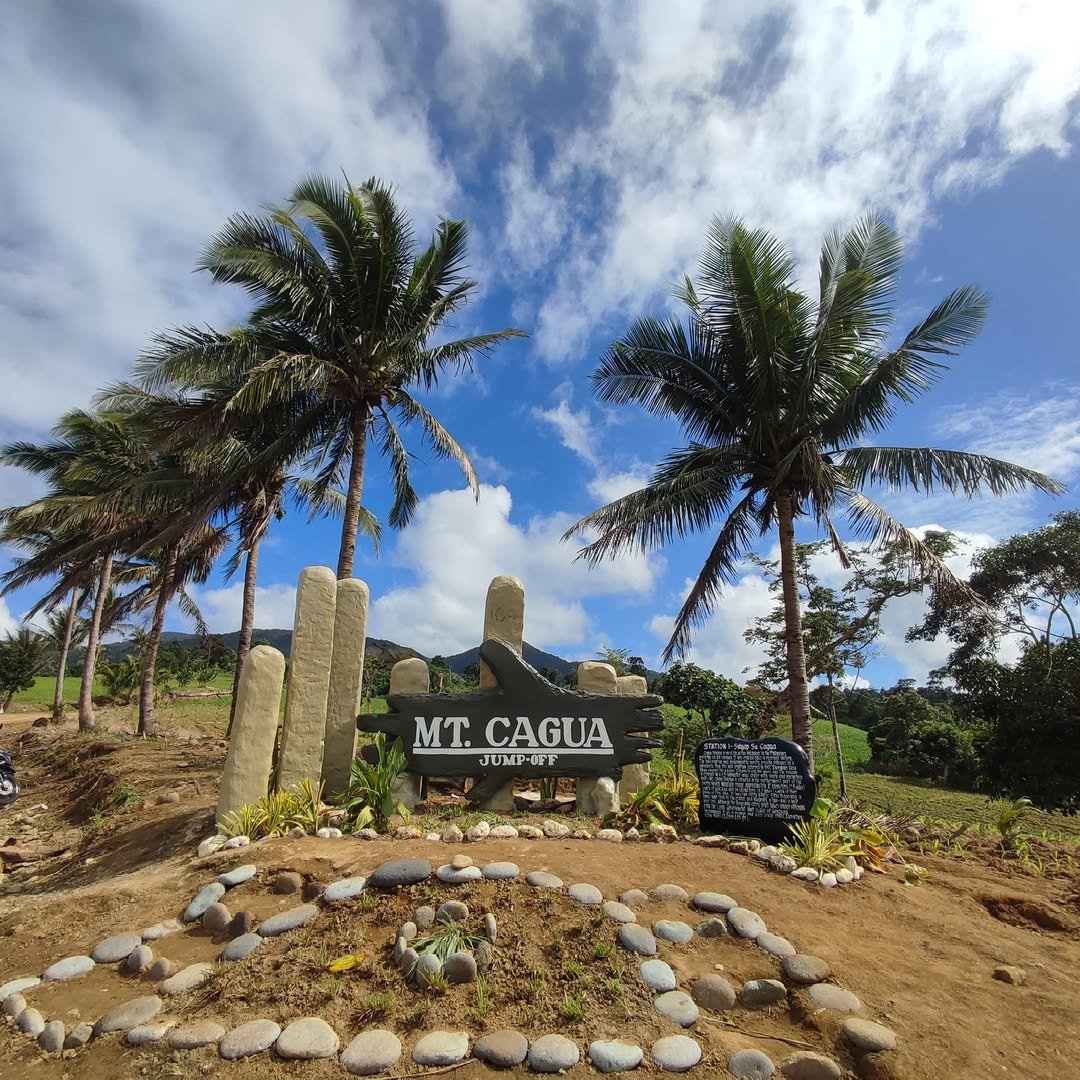
There are two officially recognised jump-off barangays: Barangay Magrafil and Barangay Santa Clara. The standard route used by most climbers starts at Barangay Magrafil. A third trailhead at Barangay Ipil, near Ipil National High School, also appears on route maps. The Gonzaga Tourism Office will assign your jump-off when you pre-register, based on your group size and the guide available. Because Mt. Cagua falls inside the NSMNP, walk-in arrivals at any of these jump-offs are strictly prohibited. You must coordinate in advance.
Mount Cagua Gonzaga Cagayan sits at the northeastern tip of Luzon at 1,133 meters above sea level within the Northern Sierra Madre Natural Park. By road, this puts it roughly 2 to 3 hours from Tuguegarao City, the nearest airport.
How Hard Is the Mt. Cagua Trail?
The mt. cagua difficulty on a dry day is rated 2 out of 9, Class 1-2 under the Philippine mountaineering grading system. This puts it in the same range as other beginner-friendly minor climbs in the Philippines.
The trail follows a mostly forested path with a steep push near the crater rim. In fair conditions, most first-time hikers can manage it.
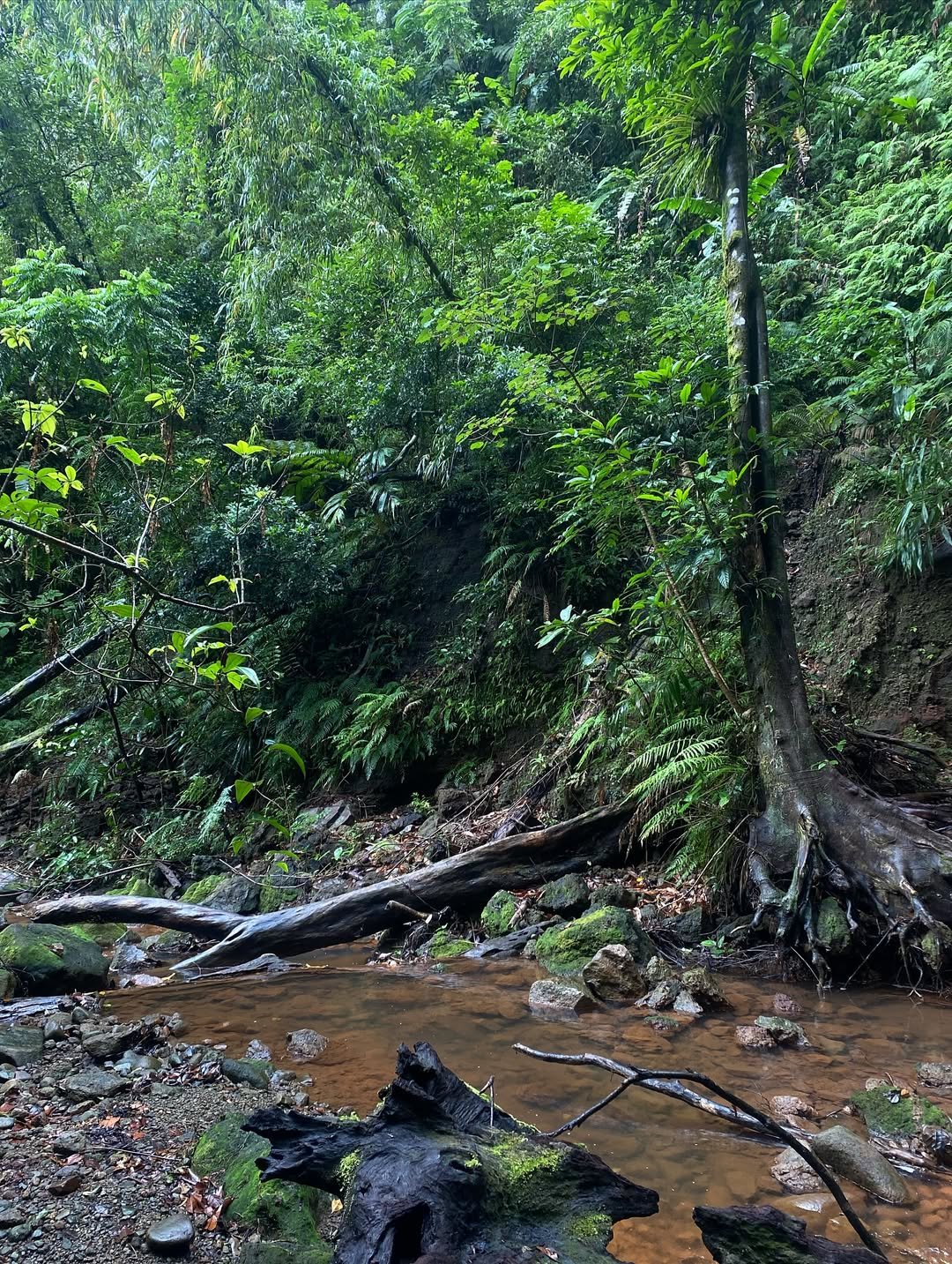
What changes the rating is rain. The wet season turns the trail into ankle-deep mud with thorny vines reaching across the path and loose, unstable sections on the upper slope.
Under those conditions, the trail is medium difficulty, and a wrong step on the descent costs you more than a scraped knee. This is not like major climbs with difficulty ratings of 5 to 8, but wet-season Mt. Cagua should not be underestimated.
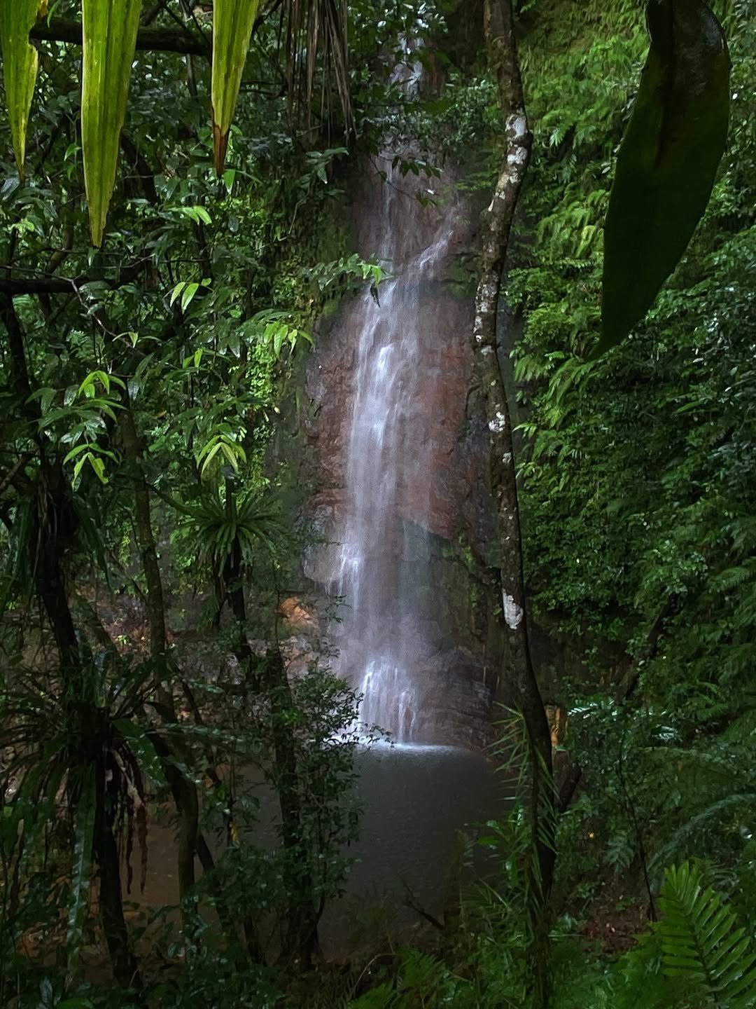
Ascent time from Barangay Magrafil to the crater rim runs 2 to 4 hours, depending on pace and group fitness. Either name the waterfall and give its distance from the main trail, or remove the reference until that detail is confirmed with the Tourism Office..
Descent takes 2 to 3 hours. For a day hike, plan on a full 6 to 8 hours on trail plus travel time on both ends.
Two practical warnings for any season: leeches (limatik) are present on the trail and become very active during and after rain. Anti-leech socks are not optional gear. The guide during my October 2026 visit told me the upper trail toward the crater rim gets the worst of them.
Cell signal is also effectively non-existent from the trail head onward. Pre-arrange your exit transport in Gonzaga before you start walking because you will not be able to call anyone once you are on the mountain.
Permits, Guide Fees, and Registration for Mt. Cagua
The permit and guide process is governed by the NIPAS Act, the NSMNP management rules, and Municipal Ordinance No. 01, series of 2026, issued by the Gonzaga LGU and effective May 14, 2026.
Entry into the protected area without PAMB (Protected Area Management Board) authorisation is a criminal offense under the NIPAS Act, not just a fine.
PAMB registration fees are collected at the jump-off:
| Climber type | Fee per person |
|---|---|
| Filipino national | ₱150–180 |
| Foreign national | ₱250 |
Guide and porter fees cover groups of up to four climbers:
| Service | Day hike | Overnight |
|---|---|---|
| Guide fee | ₱500 | ₱1,000 |
| Porter fee (up to 12 kg) | ₱500 | ₱1,000 |
| Porter fee (excess, per kg) | ₱50 | ₱50 |
One certified guide is required for every four climbers. You cannot negotiate a larger group per guide. Walk-ins at both Barangay Magrafil and Barangay Santa Clara are strictly prohibited, so you must pre-coordinate before you leave Manila or Tuguegarao.
Before you book your bus ticket or plane ticket, check the PHIVOLCS official website for the current alert level on Mt. Cagua. PHIVOLCS uses an alert level system that runs from 0 to 5. Alert Level 0 means the volcano is in a normal, non-eruptive state and is generally open for climbing, subject to PAMB approval. Alert Level 1 means low-level unrest has been detected, which usually means climbing is suspended until PHIVOLCS and the LGU say it is safe again. Practically speaking, if the site shows Alert Level 0, your climb is likely on. If it shows anything above that, call the Gonzaga Tourism Office before doing anything else.
To register, contact the Gonzaga Tourism Office directly:
- Municipal Tourism Officer: Jundel John B. Cabanela
- Designated officer: Mclevine Agustines
- Mobile: 0915-159-2486 or 0917-193-3215
- Email: gonzaga.tourism@gmail.com
- The office also maintains official social media platforms where updates on trail conditions are sometimes posted.
Tell them your climb date, group size, preferred jump-off barangay, and whether you plan to camp overnight. They will confirm your guide assignment and give you the barangay contact details for the day of your climb.
Leave No Trace rules are enforced inside the NSMNP. Removing any plant material or disposing of waste improperly results in immediate penalties. Pack out everything you carry in.
How to Get to Mt. Cagua in Gonzaga, Cagayan from Manila
The gateway to Mt. Cagua Gonzaga Cagayan is Tuguegarao City, served by Tuguegarao Airport (airport code: TUG). Cebu Pacific and Philippine Airlines both fly the Manila (MNL) to Tuguegarao route. Flight time is about 1 hour and 15 minutes.
Fares change with fuel prices. As of October 13, 2026, one-way fares start at around ₱2,186 to ₱2,241 all-in on Philippine Airlines. Promo fares on Cebu Pacific start higher when available. Book at least three to four weeks ahead for better prices.
If you prefer land travel, long-distance buses from Manila serve Tuguegarao, but travel time is roughly 14 to 16 hours. This works if you are on a tight budget and have the time, but flying saves a full day on each end of the trip.
From Tuguegarao to Gonzaga town, take a passenger van from the van terminal near the Tuguegarao Rotunda, bound for Gonzaga. We paid ₱200 each for the van, and the ride takes 2 to 3 hours.
From Gonzaga town to the jump-off barangay, you can hire a tricycle or habal-habal (motorcycle taxi) near the Gonzaga Public Market, which sits in the center of town and is easy to find on any map. The ride to Barangay Magrafil costs around ₱400 per way and takes 30 to 45 minutes. That rate covers the vehicle, not per person, so splitting it with your group cuts the cost significantly. Barangay Santa Clara is the other option for a jump-off point if you pre-arrange it with your guide.
What to Expect on the Trail: Campsites, Water, and the Crater
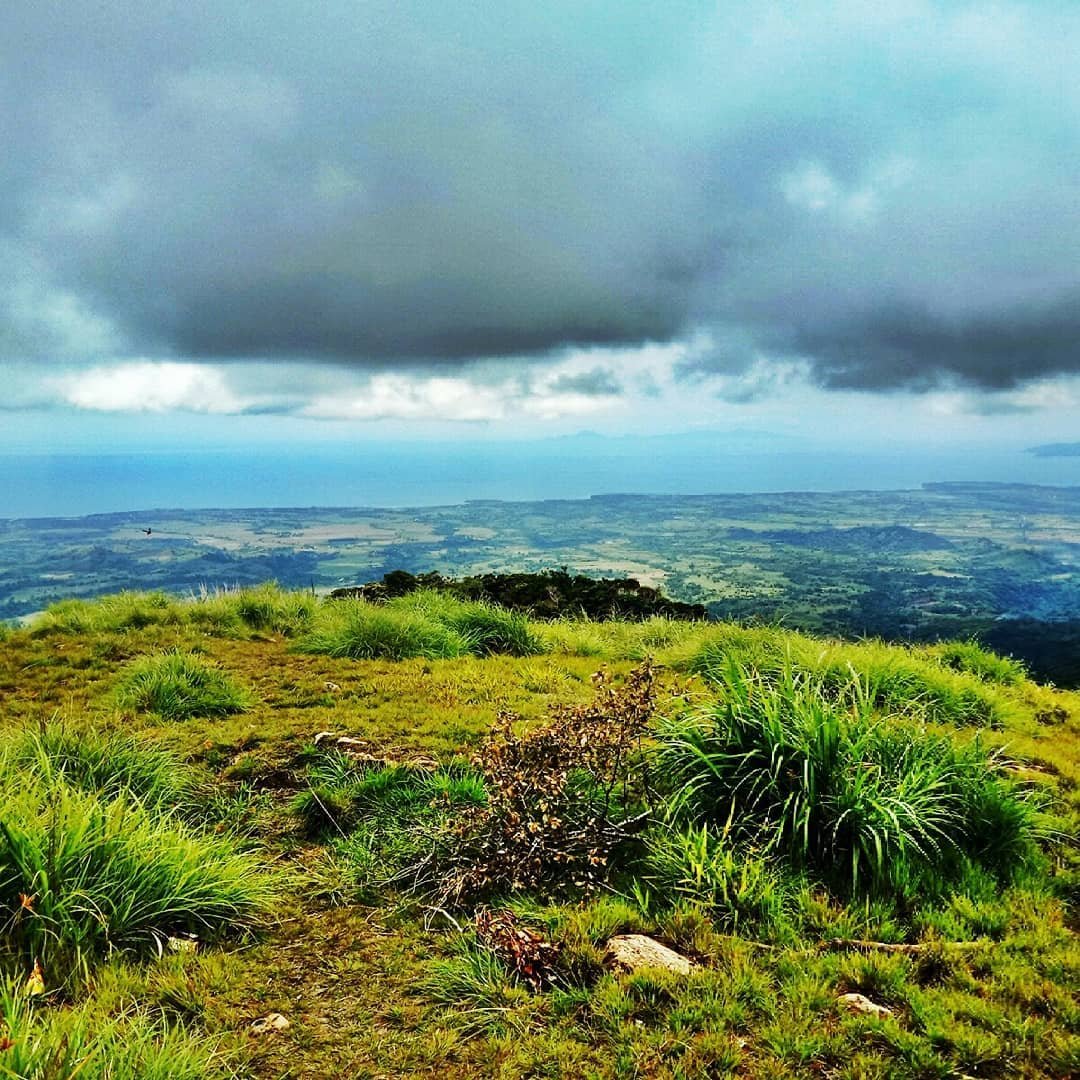
The designated campsite sits inside the caldera, in a forested clearing roughly in the middle of the crater floor. The caldera is the large depression left by the volcano’s activity, while the crater rim is the higher ridge you reach at the summit, around 911 MASL. A water source is located right near the campsite, which matters for overnight stays, but do not rely on it for the upper trail section near the crater rim.
The route above the treeline has no water, so carry at least 2 to 3 litres per person before you leave the lower forest. The campsite water source is the right place to refill, not before.
Space at the caldera campsite is limited. If you are going on a weekend or during the February to March peak window, ask the Gonzaga Tourism Office during registration whether other groups are booked for the same night. A crowded caldera campsite means tighter space and a heavy presence of leeches, or limatik, around the tents. Tuck your pants into your socks before you set up camp.
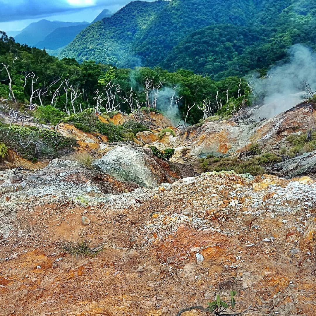
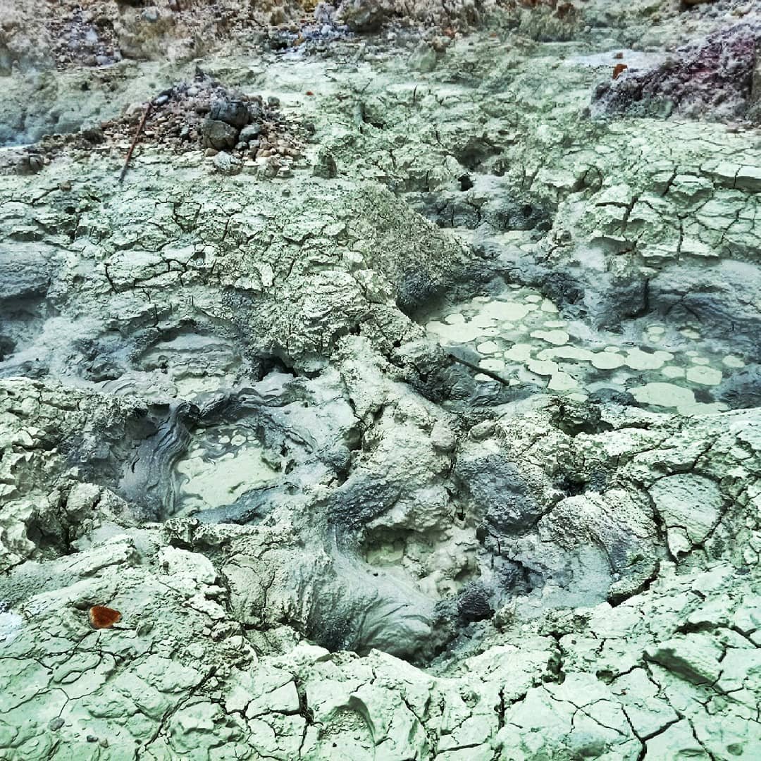
From the campsite, the northern fumarole is a 20-minute walk. Fumaroles are volcanic vents that release steam and sulfur gases from the crater wall. The smell reaches you before you see it. The southern fumarole is also accessible but needs more trail time. Your guide will know current access conditions for both. Adding a side trip to the fumaroles extends your ascent time from the usual 2 to 4 hours up to about 4 to 5 hours, so factor that into your start time.
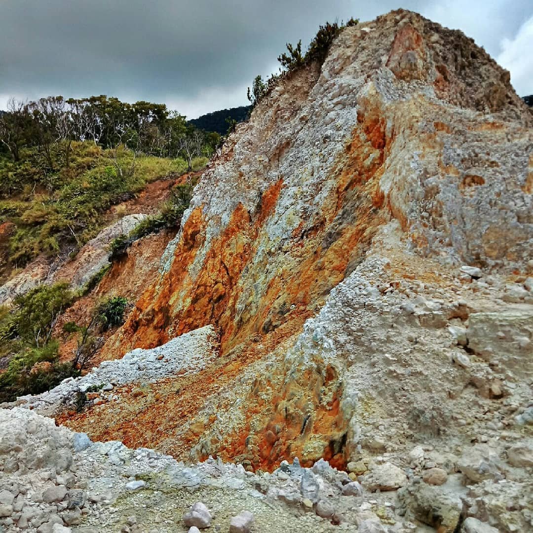
The cagua volcano picture most people recognise is the wide crater walls and the steam venting from the flanks. It is best shot from the northern fumarole approach in the morning before cloud cover builds.
For an overnight itinerary, the standard plan is to reach the campsite on day one, explore the fumaroles and caldera floor in the late afternoon, then go down on day two. A day hike is possible if you start from the jump-off by 6:00 AM at the latest. This gives you time to reach the rim, spend an hour at the top, and still go down before dark. Do not attempt the descent after dark on an unfamiliar trail.
Cell signal is non-existent from the trailhead to the summit. Pre-arrange your return habal-habal from Gonzaga Public Market before you walk in, and agree on a pick-up time that accounts for a possible late descent.
When to Hike Mt. Cagua and When to Stay Away
February and March are the recommended months for Mt. Cagua.
Gonzaga follows a Type II climate with no sharp dry season, but these two months consistently give:
- The firmest trails
- The clearest crater views
- The lightest leech activity of the year
I hiked in October 2026 during the tail end of the wet season, and even then the upper trail had sections of ankle-deep mud that slowed the group considerably.
The wet season runs roughly May to October.
During this period, the trail becomes significantly harder:
- Mud
- Thorny overgrowth across the path
- Unstable slopes on the upper section
- Leeches on everything
Experienced hikers who do not mind these conditions can still go, but the crater view is often obscured by cloud cover for most of the day, which reduces the payoff. If the summit view and the fumarole walk are your main goals, wet-season conditions undercut both.
There is no fixed annual closure period for Mt. Cagua, but the LGU can suspend access following volcanic activity advisories or severe weather. Check with the Gonzaga Tourism Office (0915-159-2486 or 0917-193-3215) before finalising your dates, especially if you are planning in the June to September window. The office is your most reliable source for current trail status.
Accommodation, Food, and Daily Costs in Gonzaga
Gonzaga town has basic lodging options. Most hikers stay the night before and after the climb in town rather than attempting same-day travel from Tuguegarao.
Meals in Gonzaga town are typical of a small Cagayan municipality: carinderias (small local eateries) serving rice meals for around ₱60 to ₱100 per meal. There are no restaurant chains. Stock up on trail food in Tuguegarao before heading to Gonzaga, where variety is limited.
Here is a realistic budget for a day hike versus an overnight climb, per person in a group of four:
| Expense | Day hike | Overnight |
|---|---|---|
| PAMB registration (Filipino) | ₱150–180 | ₱150–180 |
| Guide fee (split 4 ways) | ₱125 | ₱250 |
| Habal-habal to jump-off (split 4 ways) | ₱100 | ₱100 |
| Van, Tuguegarao to Gonzaga (one way) | ₱200 | ₱200 |
| Meals in Gonzaga (1 day) | ₱200 | ₱400 |
| Estimated total per person | ₱775–805 | ₱1,100–1,130 |
This does not include the Manila to Tuguegarao flight, porter fees if needed, gear, or lodging in Gonzaga. A porter costs ₱500 for a day hike or ₱1,000 overnight for bags up to 12 kg, split among whoever hires one. Budget travellers can skip the porter, but the trail is muddy enough that trekking poles and a well-packed bag matter more here than on easier climbs.
GCash acceptance in Gonzaga town is available at some establishments, but do not rely on it for fees at the jump-off. Bring enough cash in Tuguegarao before you board the van.

Nearby Attractions in Cagayan Worth Adding to Your Trip
Mt. Cagua is the main event, but Cagayan Province rewards a longer stay. The three most practical extensions from Gonzaga or Tuguegarao are Palaui Island, the Babuyan Islands, and Callao Cave.
Palaui Island is about an hour southeast of Gonzaga by road and boat. It is a remote and undeveloped stretch of coastline in Cagayan, with a protected marine sanctuary and the Cape Engaño Lighthouse at its northern tip.
Most visitors do Palaui as a full-day boat trip from Santa Ana town. If Mt. Cagua is your first stop, Palaui makes a logical second day or extension before returning to Tuguegarao.
The Babuyan Islands sit north of the Cagayan coast and are accessible by boat from Aparri or Gonzaga. The island group includes its own active volcano, Babuyan Claro, which makes the Babuyan trip a natural complement if you are already visiting an active volcano on the mainland.
Callao Cave in Peñablanca is about 2 hours south of Tuguegarao by road. It is the most visited tourist spot in Cagayan and a realistic add-on for any trip that routes through the provincial capital. The cave system has seven chambers, one of which has a natural skylight used as a chapel.
All three destinations are covered in dedicated guides on this site and are best booked with at least one extra travel day each.
Delete the FAQ repetition; in the Nearby Attractions section rephrase to: “Most visitors pair Mt. Cagua with a trip to Palaui Island, about an hour southeast of Gonzaga by road and boat.. It is about an hour southeast of Gonzaga by road and boat, with a protected marine sanctuary and the Cape Engaño Lighthouse at its northern tip. The Babuyan Islands, accessible by boat from Gonzaga, are another nearby option, with their own active volcano, Babuyan Claro, making them a natural complement to a mainland volcano trip.
Frequently Asked Questions About Mount Cagua
Is Mount Cagua an active volcano?
Yes. PHIVOLCS classifies Mt. Cagua as an active stratovolcano. It is the only active volcano on the Cagayan mainland.
Its last recorded eruptions were in 1860 and 1907. There is no current alert level, but the active classification is why the LGU requires mandatory guides and pre-registration for all climbers.
Can you camp inside the crater?
Yes. The designated overnight campsite is a forested clearing on the caldera floor, roughly 20 minutes from the northern fumarole.
Space is limited, and leeches are a consistent presence. Book your overnight stay when you pre-register with the Gonzaga Tourism Office, and confirm whether other groups are scheduled for the same night.
Do you need a guide to climb Mt. Cagua?
A certified local guide is mandatory. The ratio is one guide per four climbers, and this is enforced under Municipal Ordinance No. 01, s. 2026.
You cannot hire a guide on arrival. Guide assignment happens through the Gonzaga Tourism Office during pre-registration. Walk-ins at both jump-off barangays are not allowed.
How far in advance should you register?
Register at least one week before your climb date to allow time for guide assignment and coordination. During the February to March peak season, register earlier, as guides are limited and dates fill. Contact the Tourism Office at 0915-159-2486 or email gonzaga.tourism@gmail.com.
Is Mt. Cagua beginner-friendly?
On a dry trail in February or March, yes. The standard Class 1-2 rating means a reasonably fit first-timer can complete the day hike. What changes the equation is fitness for a full 6 to 8 hours on trail, tolerance for leeches, and the steep push to the crater rim.
Anyone who has only hiked paved or low-elevation trails should build up before attempting this. In the wet season, beginners should wait for dry conditions.
Is there cell signal on the trail?
No reliable signal exists from the trailhead to the summit. Treat the entire mountain as a no-signal zone.
Arrange your return transport and contact details with someone in Gonzaga town before you start the climb. Your guide will not have a working signal either once you are above the lower slopes.
How do you get to Mt. Cagua from Gonzaga town?
From Gonzaga town proper, the most common way to reach the jump-off barangays is by habal-habal, the motorcycle taxis that serve routes where regular vehicles do not go. Arrange this before your climb day so you are not scrambling for a ride at the trailhead. Confirm the pick-up details for your return trip at the same time, since there is no signal on the mountain to call for one later.
What is the Gonzaga tourist spot most people pair with Mt. Cagua?
Palaui Island is the most common pairing. It is roughly an hour from Gonzaga by road and boat. It needs no additional overnight if you have a full day.
It also offers a completely different environment from the volcano trail. The Gonzaga Tourism Office can point you to reliable boat operators in Santa Ana when you contact them for your Mt. Cagua registration.
Is Mt. Cagua Worth the Trip?
Mt. Cagua is worth the travel for anyone who wants an active volcano experience without the crowds that come with Mayon or Taal. The caldera campsite stands apart from anything else in Northern Luzon, and the combination of the fumarole walk and the crater-rim view justifies the permit process and the leech socks.
Who should skip it:
- Hikers who want a short, clean trail with a clear summit photo and an easy return
- Anyone unwilling to pre-coordinate a climb weeks in advance
- Anyone planning to go between June and September without checking current trail conditions first
The logistics are real and the travel time from Manila is long. The trail in the wet season is punishing enough that the reward does not match the effort unless you are prepared.
I came back from the October 2026 visit with mud on gear I had to replace, but the overnight inside the caldera is one of the best camps I have had across 69 provinces. If you are building a Cagayan itinerary, Mt. Cagua is the anchor, and the rest of the province fills in around it.
For context on where it sits among Philippine mountain destinations, the mountains in the Philippines travel guide covers the full range from beginner hikes to serious technical climbs.