
Is Mt. Dulang-Dulang Worth Hiking?
Yes — but only if you’re a serious, experienced mountaineer. Mt. Dulang-Dulang is the second-highest mountain in the Philippines at 2,938 MASL, and it earns that reputation through every step of the climb: steep forest trails, thick mud, a cold and sacred mossy forest, and one of the most strict protected-area permit systems I’ve encountered in Mindanao.
This is not a bucket-list hike for casual walkers. It’s a major climb, an ancestral-domain crossing, and a high-altitude cold-weather expedition inside the Mt. Kitanglad Range Natural Park in Bukidnon. If you treat it that way, it will absolutely be one of the most rewarding mountains you’ll ever stand on.
I hiked Mt. Dulang-Dulang in May 2026, and this guide is everything I wish I had before going.
Mt. Dulang-Dulang Quick Guide
| Category | Details |
|---|---|
| Elevation | 2,938 MASL (9,639 ft) |
| National Rank | 2nd highest in the Philippines |
| Location | Kitanglad Mountain Range, Bukidnon, Mindanao |
| Jump-off Point | Sitio Bol-ogan, Barangay Songco, Lantapan |
| Standard Route | Lantapan backtrail (out-and-back) |
| Standard Duration | 2 Days / 1 Night |
| Traverse Option | D2K Traverse (D2 to Mt. Kitanglad) |
| D2K Duration | 3–4 days (sample: 3D2N) |
| Round-trip Distance | ~12–14 km (standard route) |
| Elevation Gain | ~1,200 meters |
| Standard Difficulty | 6/9 — Major Climb |
| D2K Difficulty | 8/9 to 9/9 — Expert Level |
| Trail Class | Class 2–4 |
| Camp Elevation | ~2,750 MASL (Manny’s Garden) |
| Coldest Temp Recorded | ~4°C or lower at camp |
| Best Season | November to May |
| Riskier Season | June to October |
| Daily Quota | Max 15 climbers per group/day (VERIFY LOCALLY) |
| PAMB Contact | +63 88 8133453 (VERIFY LOCALLY) |
| Guide Contact | John Donasco: 09564220069 (VERIFY LOCALLY) |
Table of Contents
What Is Mt. Dulang-Dulang?
Mt. Dulang-Dulang — locally called D2 — is a 2,938 MASL peak inside the Kitanglad Mountain Range in Bukidnon, Mindanao. It is officially the second-highest mountain in the Philippines, surpassed only by Mt. Apo at 2,956 MASL.
Note: older records listed D2 at only 2,385 meters, and Mt. Pulag at 2,922 MASL was often treated as the second-highest mountain. Resurveying corrected that. The current accepted elevation of D2 is 2,938 MASL, making it higher than Mt. Pulag.
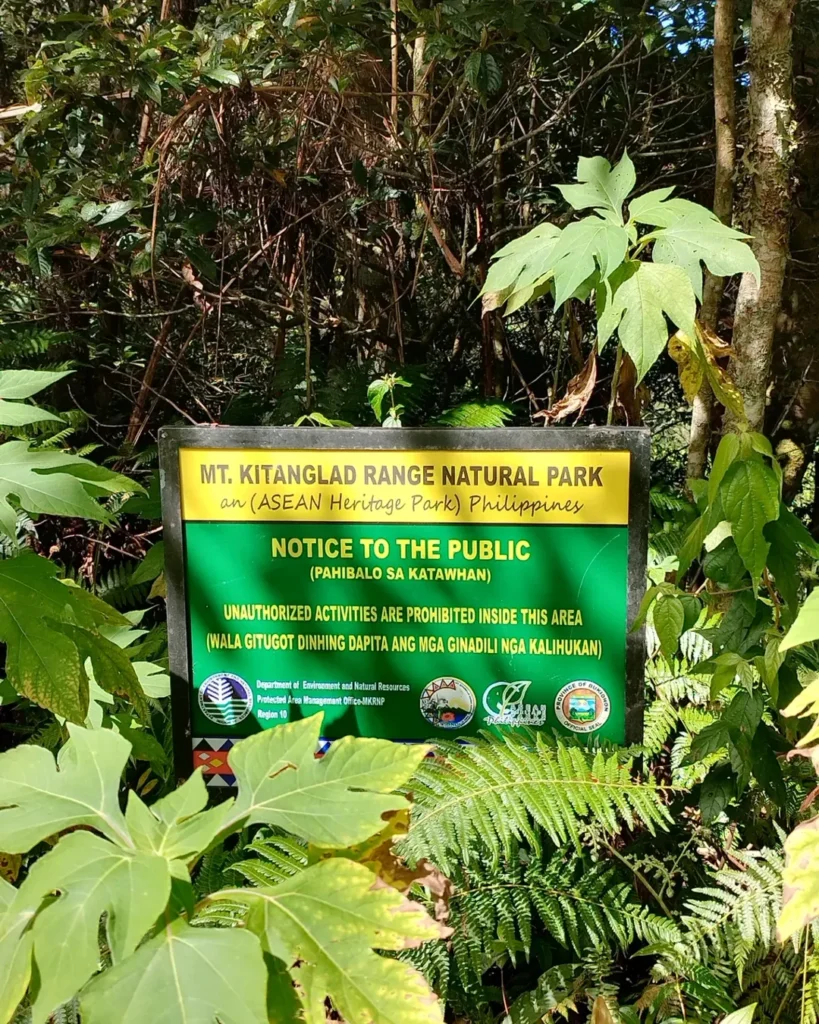
Mt. Dulang-Dulang sits inside the Mt. Kitanglad Range Natural Park (MKRNP), a protected area established under Republic Act No. 8978 in 2000 and declared an ASEAN Heritage Park in 2009. The park covers roughly 47,270 hectares, touching one city and seven municipalities in Bukidnon.
The mountain is located within the ancestral domain of the Talaandig, Bukidnon, and Higaonon indigenous communities. That’s not a footnote — it shapes everything about how this climb is organized, permitted, and experienced.
Where Is Mt. Dulang-Dulang Located?
Mt. Dulang-Dulang is located in the Kitanglad Mountain Range in Bukidnon, Mindanao, at coordinates 8.1167°N, 124.9233°E. The main access municipality is Lantapan, and the official jump-off is Sitio Bol-ogan, Barangay Songco.
The nearest logistics hub is Malaybalay City, the capital of Bukidnon, located around 1.5 to 2 hours from the trailhead. Lantapan sits on an agricultural plateau at roughly 600 MASL between the Kalatungan and Kitanglad mountain ranges — so your trail begins in farming country and ends in cold, sacred highland forest.
Why Did I Hike Mt. Dulang-Dulang?
When I started planning this climb, Mt. Dulang-Dulang wasn’t the most talked-about mountain in Filipino hiking circles. Most people I knew were chasing Mt. Pulag or Mt. Apo. But something kept pulling me toward D2 — the mossy forest, the Talaandig ritual, the cold camp, and honestly, the fact that it’s technically the country’s second-highest peak and most hikers still don’t treat it that way.
I joined an organized joiner group in May 2026. I’m glad I didn’t DIY my first time here. The logistics are layered, the cultural requirements are real, and the trail has no mercy for people who show up underprepared.
Is Mt. Dulang-Dulang Open for Hiking?
Mt. Dulang-Dulang is generally open for hiking, but access is controlled and can be suspended without extended notice.
Always confirm the following before booking anything — VERIFY LOCALLY:
- Current open/closed status with PAMB
- D2-only trail status
- D2K Traverse status
- Current daily quota and orientation schedule
- Any DENR, PAMB, or LGU advisory in effect
Closures can happen due to heavy rain, La Niña conditions, landslides, tribal ceremonies, indigenous council requests, campsite recovery periods, and forest-fire risk. During my May 2026 climb, the trail was open — but we were told it had been suspended briefly weeks earlier due to a trail advisory.
What Should You Check Before Climbing Mt. Dulang-Dulang?
Before booking transport or paying any fee, verify these six things:
- Trail status — Contact PAMB at +63 88 8133453 (VERIFY LOCALLY for current number)
- Permit requirements — Pre-booked permit slots are mandatory; walk-in climbs are not allowed
- Guide availability — Guides are required and must be arranged in advance
- Weather condition — Check PAGASA forecasts and local advisories
- Cultural protocol — Confirm the ritual schedule and requirements with your guide or the LGU Tourism Office
- DENR/PAMB advisory — Check for any new environmental or access restrictions
Do not assume that because someone climbed D2 last month, the trail is automatically open today. Confirm directly.
How Difficult Is Mt. Dulang-Dulang?
The standard Mt. Dulang-Dulang climb is rated 6/9 — a major climb. The D2K Traverse is rated 8/9 to 9/9 — expert level.
The numbers don’t fully tell the story. What makes D2 hard isn’t just the distance or elevation gain. It’s the combination:
- Steep gradients from the trailhead all the way to Manny’s Garden
- Deep mud throughout the forest sections, especially in lower elevations
- Wet, slick roots that slow your pace considerably
- Cold and dampness that accumulate by the time you hit the mossy forest
- Heavy overnight pack on top of all of the above
- Limited emergency access if something goes wrong mid-trail
The total elevation gain is around 1,200 meters over roughly 12–14 km round-trip for the standard route. That’s a demanding day even for fit hikers.
Is Mt. Dulang-Dulang Beginner-Friendly?
No. Mt. Dulang-Dulang is not a beginner hike. It requires prior experience with major climbs, overnight camping in cold conditions, and physical preparation for steep, muddy terrain at high altitude.
If this is your first overnight mountain hike, start elsewhere. Mt. Pulag via Akiki or Mt. Maculot overnight are good training grounds. Return to D2 when you’re confident on cold-weather multi-day climbs.
What Is the Mt. Dulang-Dulang Trail Like?
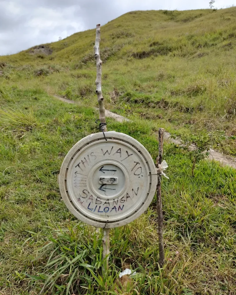
Section 1: Sitio Bol-ogan — Agricultural Zone
The trail starts at around 1,200 to 1,500 MASL through open dirt roads and farm fields. It’s exposed, often warm, and looks nothing like what’s ahead. Don’t let it lull you. You’re carrying an overnight pack, and the real work starts soon.
Section 2: Dipterocarp Forest — Mud Begins
Once you enter the forest canopy, sunlight drops and the ground gets wet. Deep mud, slippery roots, and uneven terrain define this section. Slow your pace. Protect your knees. Footwear matters a lot here — I saw two hikers in our group struggle badly because their trail runners had zero grip on the root sections.
Section 3: Alanib River (~2,186 MASL)
This is where most groups stop for lunch and water resupply. The Alanib River is a critical hydration point, especially before the upper push toward Manny’s Garden. Fill everything you have here.
Section 4: Mossy Forest
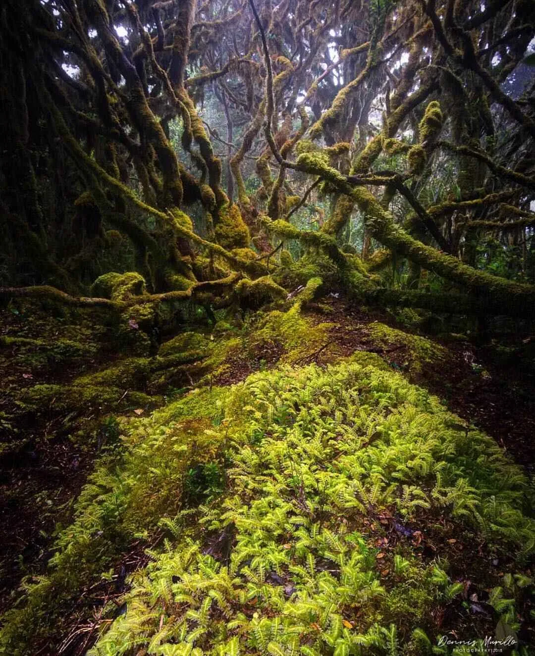
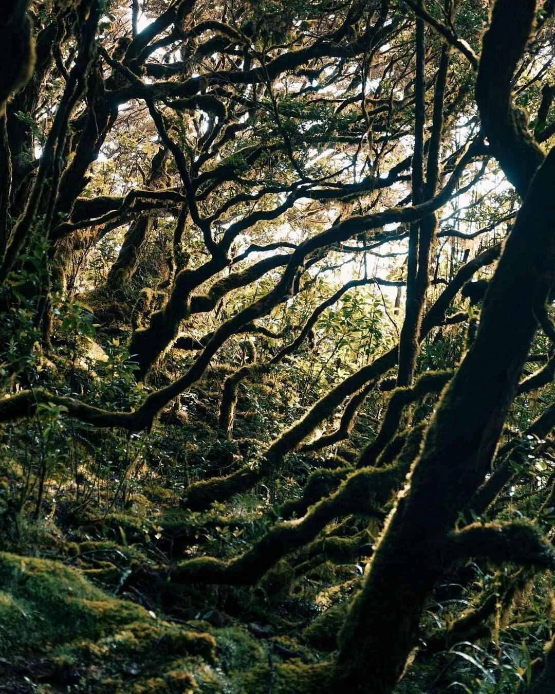
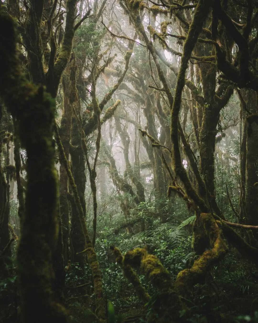
This is the section I came for. And it delivered. Moss-covered trees, ferns, hanging lichens, cold air, and perpetual fog. Every surface is damp. The light is filtered and quiet. It’s one of the most ecologically fragile parts of D2 — don’t step off-trail, don’t pull on moss-covered branches, and don’t rush through it just to make camp.
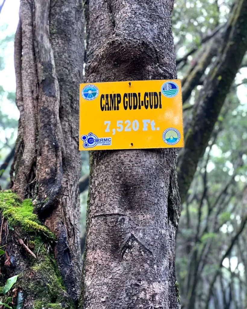
Section 5: Manny’s Garden (~2,750 MASL)
The main basecamp sits at around 2,750 MASL. It’s cold, shaded, damp, and quiet. Locals consider this area sacred — some call it the “city of fairies.” Night temperatures drop to around 4°C or lower. Change into dry clothes the moment you arrive. Wet clothes plus wind and cold is how hypothermia starts.
There’s a reliable water source nearby, and the views — when the fog clears — are worth the silence.
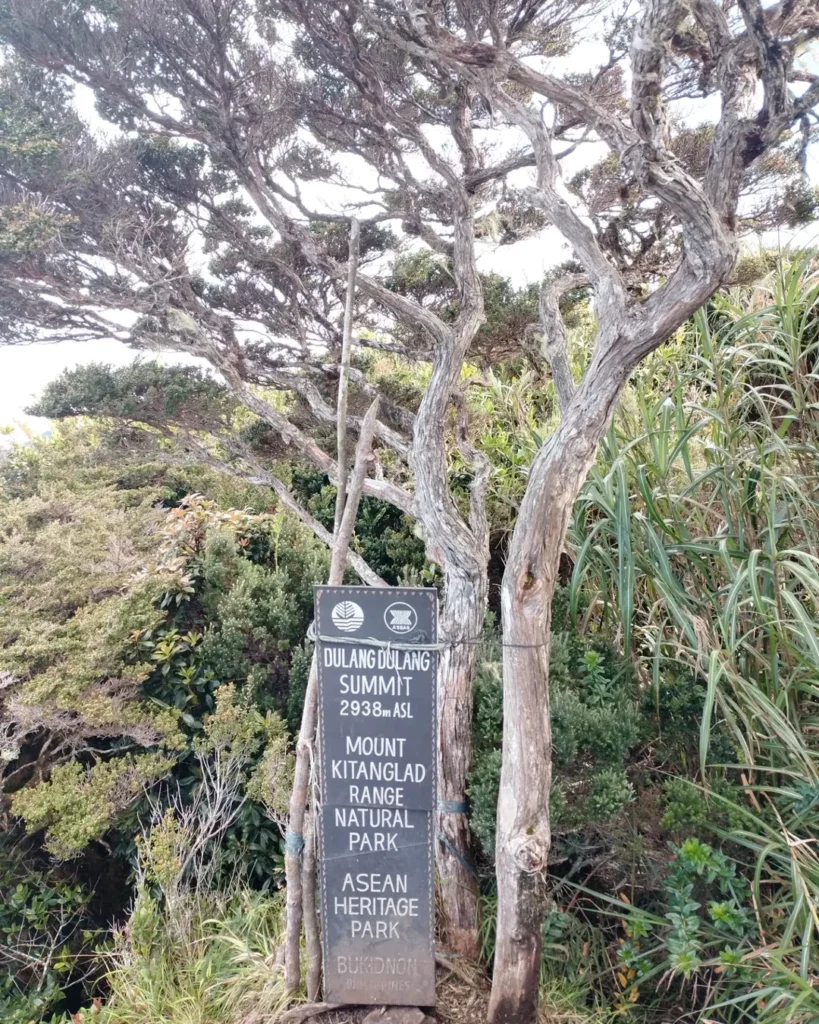
Section 6: Summit
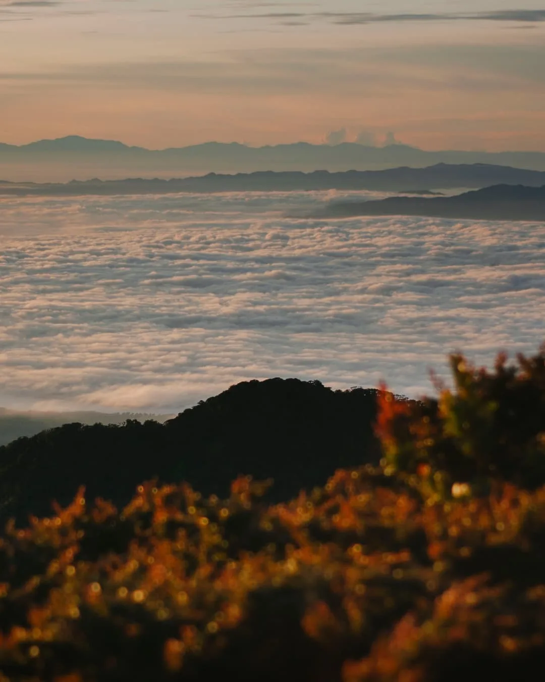
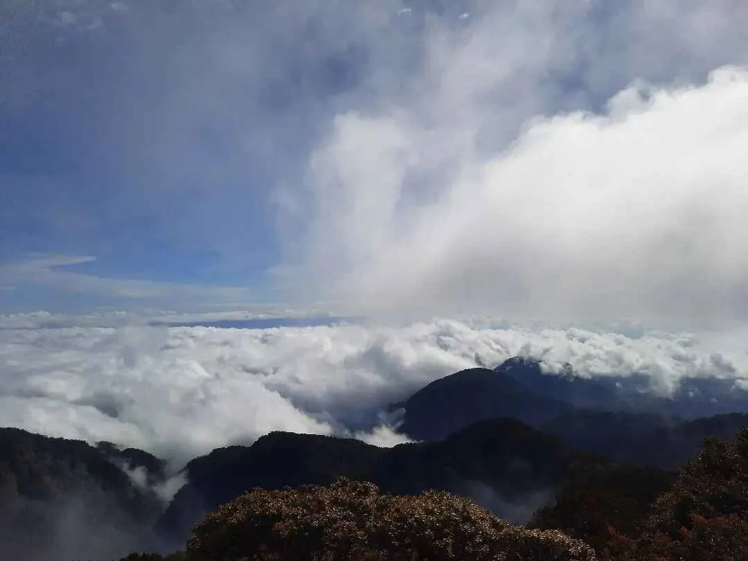
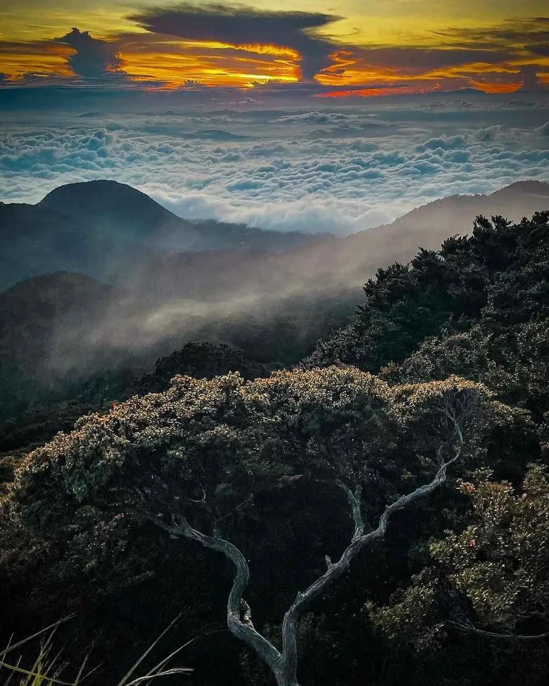
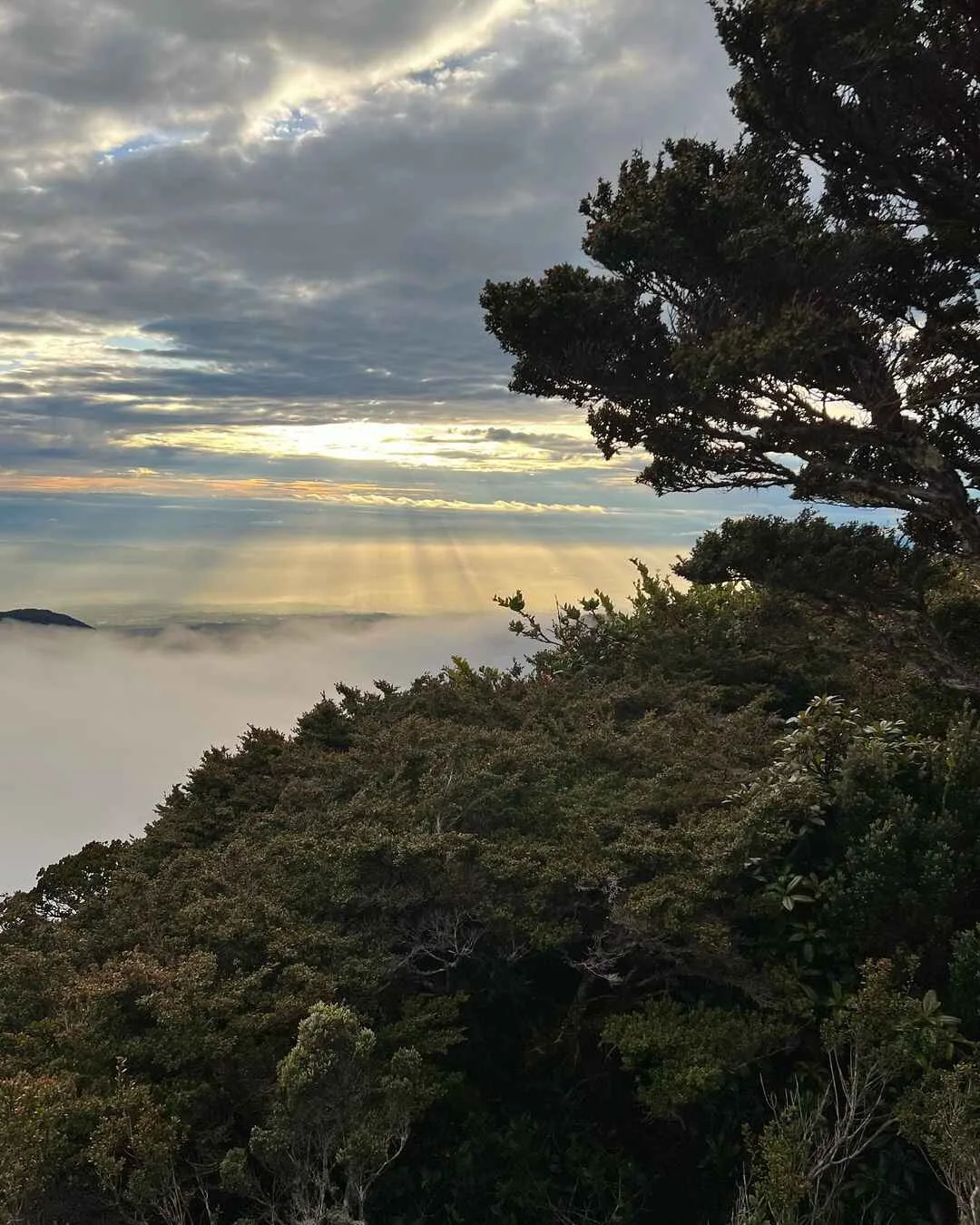
From Manny’s Garden, the summit is only 5 to 10 minutes away. It’s small, exposed, and cold. On a clear morning, you get a 360-degree panorama: the Kitanglad Range, a sea of clouds, and if you’re lucky, a distant view of Mt. Apo — the only mountain in the country standing higher than where you are.
What Is the Difference Between Mt. Dulang-Dulang and D2K Traverse?
| Category | Standard D2 Climb | D2K Traverse |
|---|---|---|
| Route type | Out-and-back | Linear traverse |
| Duration | 2 Days / 1 Night | 3–4 days |
| Difficulty | 6/9 | 8/9 to 9/9 |
| Trail class | Class 2, difficult mud | Class 2–4, technical |
| Distance | ~12–14 km round-trip | Longer; endpoint at Kitanglad |
| Main risk | Mud, cold, fatigue | Technical exposure, water scarcity |
| Technical section | None | 90-degree “kiss the wall” rock face |
| Water concern | Manageable | Major issue on high ridge |
| Best for | Experienced hikers | Highly experienced mountaineers |
The D2K Traverse takes you from Mt. Dulang-Dulang all the way across the ridge to Mt. Kitanglad, exiting at Sitio Intavas. The defining feature of D2K is the “Halik ni Hudas” — the Kiss of Judas — a near-vertical 90-degree rock face that requires rope work. Water is scarce on the high ridge, and daily hiking demand is 8 to 12 hours. This is not an upgrade from the standard D2 climb; it’s a different category of expedition.
My recommendation: Do the standard D2 first. Only consider D2K if you’ve logged multiple major climbs, done rope-assisted technical traverses, and are comfortable with cold-weather camping over multiple nights.
What Permits, Guides, and Cultural Requirements Are Needed?
Permits
Permits are mandatory. Walk-in climbs are not permitted. All permits must be pre-booked through PAMB.
| Fee | Amount |
|---|---|
| PAMB permit | ₱1,000 per peak, per person (VERIFY LOCALLY) |
| D2K double-peak fee | Likely ₱2,000/person — VERIFY LOCALLY |
A mandatory orientation/briefing takes place the afternoon before the climb — usually around 5:00 PM. No briefing, no climb. Required documents include names, ages, and addresses of all climbers. Fees are non-transferable and non-refundable.
Guides and Porters
Guides are required. The trail passes through unmarked forest, sacred zones, and ecologically sensitive areas — you cannot and should not attempt this alone.
| Item | Rate |
|---|---|
| Guide fee | ₱1,200–₱1,500/day (VERIFY LOCALLY) |
| Porter fee | ₱1,000/day (VERIFY LOCALLY) |
| Porter load limit | Maximum 15 kg |
| Guide ratio | VERIFY LOCALLY (historical: 1:2; newer: 1:5) |
Porters are optional but strongly recommended, especially for D2K. Do not ask your guide to carry personal gear — that’s a porter’s role, and mixing it disrespects both.
Cultural Protocol: Talaandig Ritual
Mt. Dulang-Dulang sits inside the ancestral domain of the Talaandig, Bukidnon, and Higaonon communities. Entering requires FPIC — Free, Prior, and Informed Consent — and participation in a ritual clearance led by a Talaandig Datu.
The ritual typically takes place in Barangay Songco on the evening before the climb. It may involve native chickens, fabric, offerings, coins, food, and prayers. Climbers shoulder the cost.
| Cultural item | Estimated cost |
|---|---|
| Talaandig ritual fee | ~₱1,000/group (VERIFY LOCALLY) |
| Ritual materials | ~₱1,500/group (VERIFY LOCALLY) |
| Tribal penalty (sala) for violations | ~₱10,000 per infraction |
Cultural taboos: You may be prohibited from saying certain words on the trail, including asin (salt), sabon (soap), and names of four-legged animals. Other rules: no shouting, no loud music, no aggressive behavior, no badmouthing. Follow your guide and Datu without question in sacred areas.
This is not a tourist performance. It is a required ancestral-domain entry protocol. Treat it accordingly.
How Do You Get to Mt. Dulang-Dulang?
The logistics hub is Malaybalay City, Bukidnon. All routes converge here before heading to the trailhead.
From Manila
No direct flights to Bukidnon. Fly into either:
- Laguindingan Airport (CDO) — recommended; closer
- Davao International Airport — viable alternative
Book early-morning flights to allow the overland transit time and arrive in Malaybalay before the afternoon PAMB orientation.
Transportation Options
| Route | Est. Travel Time | Est. Fare |
|---|---|---|
| Laguindingan Airport → CDO/Agora | ~1 hour | — |
| CDO/Agora → Malaybalay | ~4–5 hours | ₱300–₱500 (VERIFY) |
| Davao/Ecoland Terminal → Malaybalay | ~3–4 hours | (VERIFY) |
| Valencia City → Malaybalay | ~1 hour | (VERIFY) |
| Malaybalay → Sitio Bol-ogan/Barangay Songco | ~1.5–2 hours | ~₱1500-2000/way (charter) (VERIFY) |
| Sitio Intavas → Highway (D2K exit, habal-habal) | — | ~₱250-350/person (VERIFY) |
Charter transport (multicab or jeepney) from Malaybalay to the jump-off is the standard — expect to divide the cost among your group.
How Much Is the Mt. Dulang-Dulang Budget?
Budget Breakdown
| Expense | Estimated Cost |
|---|---|
| PAMB permit | ₱1,000/peak/person |
| Talaandig ritual fee | ~₱1,000/group |
| Ritual materials | ~₱1,500/group |
| Local guide | ₱1,200–₱1,500/day |
| Porter (optional) | ₱1,000/day |
| Barangay Songco homestay | ₱200–₱450/person |
| Chartered jeepney/multicab (Malaybalay→trailhead) | ~₱1,500/way |
| CDO → Malaybalay bus | ₱200–₱300/person |
| D2K exit habal-habal | ₱100–₱150/person |
| DIY 2D1N standard D2 estimate (excl. airfare) | ₱3,500–₱4,800/person |
Package Comparison
| Option | Estimated Cost |
|---|---|
| Organized D2K joiner tour (4D3N) | ₱5,500–₱6,500/person |
| All-in premium package (meals, tent, porter included) | ~₱6,500/person |
| DIY small group (higher per-head cost) | ₱4,000–₱5,500/person |
| Solo DIY | Most expensive per head — not recommended |
All fee details marked (VERIFY LOCALLY) should be confirmed with PAMB, your local guide, or the LGU Tourism Office before booking.
What Is the Best Mt. Dulang-Dulang Itinerary?
Standard D2 Climb: 2 Days / 1 Night
Day 0: Logistics, Orientation, and Ritual
| Time | Activity |
|---|---|
| 1:00 PM | Arrive Malaybalay; buy final supplies |
| 3:00 PM | PAMB mandatory orientation |
| 4:30 PM | Board charter to Barangay Songco, Lantapan |
| 6:30 PM | Arrive Songco; proceed to Talaandig ritual |
| 8:30 PM | Dinner and overnight homestay |
Day 1: Ascent to Manny’s Garden
| Time | Activity |
|---|---|
| 4:00 AM | Wake-up, breakfast, final pack check |
| 5:30 AM | Begin trek through agricultural zone |
| 11:30 AM | Alanib River — water resupply and lunch |
| 12:30 PM | Continue into mossy forest |
| 3:30–4:30 PM | Arrive Manny’s Garden; set up tents |
| 5:00 PM | Optional summit push for sunset view |
| 9:00 PM | Lights out |
Day 2: Summit and Descent
| Time | Activity |
|---|---|
| 4:30 AM | Wake-up; summit push |
| ~4:35 AM | Summit (5–10 min from camp) |
| 6:30 AM | Return to camp; breakfast and pack-up |
| 8:30 AM | Begin descent |
| 2:00 PM | Arrive at jump-off |
| 4:00 PM | Charter transport back to Malaybalay |
D2K Traverse: 3 Days / 2 Nights
Day 1: Same as standard D2 ascent. Camp at Manny’s Garden.
Day 2: Dulang-Dulang to Mt. Kitanglad
| Time | Activity |
|---|---|
| 5:30 AM | Sunrise at D2 summit |
| 7:00 AM | Break camp; begin traverse |
| 8:00–12:00 PM | Severe descents and dense brush |
| 12:30 PM | Lunch on trail (conserve water — ridge ahead) |
| 3:00 PM | Halik ni Hudas — 90-degree technical section |
| 5:00–6:00 PM | Arrive near Mt. Kitanglad summit / comm tower |
| 7:30 PM | Dinner and recovery |
Day 3: Kitanglad Descent via Intavas
| Time | Activity |
|---|---|
| 6:00 AM | Morning views; break camp |
| 8:00 AM | Begin steep Intavas trail descent |
| 3:00 PM | Arrive Sitio Intavas |
| 4:00 PM | Habal-habal to highway; bus back to Malaybalay |
When Is the Best Time to Climb Mt. Dulang-Dulang?
Best season: November to May. Drier conditions, clearer mornings, lower hypothermia risk during ascent.
Riskier season: June to October. Monsoon conditions mean muddier trails, swollen rivers, more leeches (limatik), and a higher chance of hypothermia and PAMB-ordered closures.
Important: “Dry season” does not mean a dry trail. Mt. Dulang-Dulang is a high-altitude rainforest. Mud, fog, damp vegetation, and cold moisture are present year-round. Even in May, expect afternoon localized rain. Start early, always.
What Should You Bring for Mt. Dulang-Dulang?
| Category | Item |
|---|---|
| Thermal layers | Fleece mid-layer, insulated down jacket, thermal base (top + bottom), wool socks, gloves, beanie |
| Sleep system | Sleeping bag rated 0–5°C, insulated sleeping pad |
| Shelter | Freestanding tent rated for rain and cold wind |
| Waterproofing | Rain jacket/hardshell, waterproof pants, pack cover, dry bags, heavy-duty trash bags |
| Hydration | At least 2L capacity; water filter/purification tabs |
| Footwear | High-grip trail boots; gaiters for deep mud |
| Navigation | Headlamp + extra batteries; offline maps |
| Medical | First-aid kit, emergency space blanket, electrolytes, personal medication, muscle pain relief |
| Camp cooking | Portable butane stove, fuel canister, camp meals |
| Leave No Trace | Trash bags for all waste; no bonfires |
What Are the Safety Risks on Mt. Dulang-Dulang?
1. Hypothermia The number-one risk. Cold camp (~4°C or lower), wet clothing, wind, and fog can combine rapidly. Change into dry clothes immediately upon reaching Manny’s Garden. Never sleep in sweat-soaked layers.
2. Dehydration on D2K Water sources are accessible in the lower trail and at Manny’s Garden, but the high ridge between D2 and Kitanglad has limited reliable water. Fill everything at Alanib River and before breaking camp.
3. Limatik (leeches) More prevalent June to October. Not dangerous, but they cause persistent bleeding and stress. Tuck pants into socks, apply insect repellent on boots and gaiters.
4. Mud and root falls The forest trail is slippery year-round. High-grip boots are non-negotiable. Trekking poles help significantly on steep sections.
5. Poor cellular signal Expect no reliable signal for most of the trail. There may be intermittent signal at the summit, but don’t depend on it for emergencies. Leave a full itinerary with a contact person before you depart.
What Are the Common Mistakes to Avoid?
- Arriving in Mindanao on the same day as orientation. Allow at least 24 hours before your climb start date to account for flights, 4-hour overland travel, and logistics.
- Underpacking for cold weather. May feels warm in Manila. Manny’s Garden at 4°C is a different world.
- Ignoring the ritual. It is required, not optional. Treating it as a photo opportunity is disrespectful and can result in fines.
- Using a porter as a guide or vice versa. They have different roles. Hire both if needed.
- Bringing alcohol for social drinking. Prohibited in the protected area.
- Assuming the trail is open because it was last month. Always confirm with PAMB directly.
- Forgetting water resupply at Alanib River. This is your last major source before camp.
What Nearby Places Can You Visit in Bukidnon?
| Destination | Notes |
|---|---|
| Malaybalay City | Main logistics hub; recovery and supplies post-climb |
| Dahilayan Adventure Park | Zipline and adventure activities; worth a stop |
| Communal Ranch, Impasug-ong | Rolling pasture, often called “New Zealand of the Philippines” |
| Lake Apo | Scenic highland lake; good for rest and photography |
| CEDAR Eco-Park, Impasug-ong | Waterfalls, springs, post-climb wash-up |
| Alalum Falls, Sumilao | Roadside waterfall along the Kisolon corridor |
Bukidnon has enough natural attractions to make a full week-long trip around your D2 climb.
FAQs About Mt. Dulang-Dulang
Is Mt. Dulang-Dulang really the second-highest mountain in the Philippines?
Yes. Mt. Dulang-Dulang stands at 2,938 MASL, making it the second-highest mountain in the Philippines after Mt. Apo at 2,956 MASL. Older records listed D2 at 2,385 meters, which led to Mt. Pulag (2,922 MASL) being widely cited as the second-highest. Resurveying corrected the record.
Can beginners climb Mt. Dulang-Dulang?
No. Mt. Dulang-Dulang is a 6/9 major climb with steep terrain, deep mud, cold camp temperatures, and a demanding elevation gain of around 1,200 meters. It requires prior experience on overnight and major climbs.
Do I need a guide for Mt. Dulang-Dulang?
Yes. Guides are mandatory. The trail is unmarked in sections, passes through sacred ancestral domain, and enters ecologically sensitive mossy forest. You cannot legally or safely hike D2 without a certified local guide.
What is the D2K Traverse?
The D2K Traverse is an expert-level linear route from Mt. Dulang-Dulang to Mt. Kitanglad, taking 3 to 4 days and rated 8/9 to 9/9. It includes a near-vertical 90-degree technical section called “Halik ni Hudas” and a high ridge with limited water.
What is the PAMB permit fee for Mt. Dulang-Dulang?
The permit fee is approximately ₱1,000 per peak, per person based on research data. Verify the current fee with PAMB at +63 88 8133453 before your climb.
What is the Talaandig ritual?
A pre-climb ceremonial clearance led by a Talaandig Datu, held in Barangay Songco the evening before the climb. It involves offerings and prayers as part of FPIC — Free, Prior, and Informed Consent — for entering ancestral domain. Climbers pay for the ritual and materials (~₱1,000–₱1,500/group). Participation and respect are required.
When is the best time to climb Mt. Dulang-Dulang?
November to May offers drier, more stable conditions. June to October is riskier due to monsoon rain, mudslides, and possible PAMB closures. Even during the dry season, expect cold, fog, and possible afternoon rain.
Is there signal on the trail?
Cellular signal is mostly absent throughout the trail. There may be intermittent signal at the summit, but it is unreliable. Plan your emergency communications before you leave.
Final Verdict: Should You Climb Mt. Dulang-Dulang?
Climb D2 if: You’ve done at least two major climbs, you’re comfortable with cold-weather overnight camping, you’ve trained for steep and muddy terrain, and you respect the cultural protocols of the Talaandig community. This is one of the best major climbs in the Philippines — not because it’s easy, but because it’s genuine.
Do the D2K Traverse if: You’ve already summited D2 and want a harder, multi-day, technical challenge. Only with full experience on rope-assisted traverses and multi-day cold-weather expeditions.
Skip it if: You’re a beginner hiker, you’re short on time, or you’re looking for a casual mountain experience. D2 will chew you up and hand you back a less fun version of yourself.
In my experience hiking Mt. Dulang-Dulang in May 2026, the mountain delivered everything I expected and more — the mossy forest, the cold camp, the sacred ritual, and a summit that reminded me why we do this. But it demanded complete respect in return. Give it that, and it will be worth every muddy step.

im very interested to climb. may i who are some of the tour guides? how much do they charge? im already senior at 67 this june, i hv climbed mount apo already twice and recently mount guiting guiting. you may check my fb profile if you think i can still do it. thank you very much🙏🙏🙏