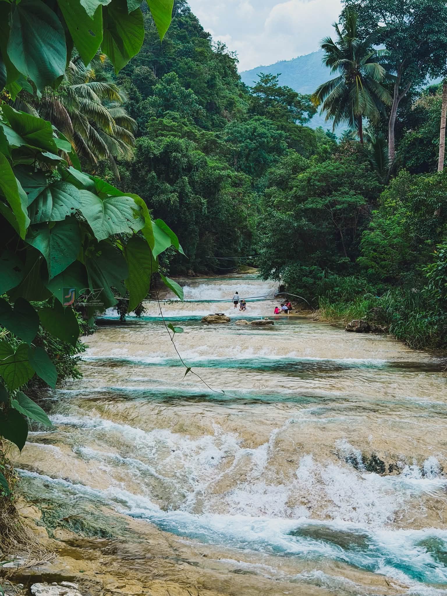
By Aiden Kenzy, the founder of [Lakbay Pinas](https://lakbaypinas.com/) and a passionate Filipino travel writer dedicated to uncovering the hidden gems and iconic destinations across the Philippines. Since 2015 — Visited: August 2026 — Published: September 2026
Quick Answer: Lablabasan River and Kintukudan Falls sit in Barangay Alfonso, Gregorio del Pilar, Ilocos Sur, and require a multi-leg journey from Candon City via monster jeepney. The LGU sets the registration fee at PHP 30 per person, a guide is mandatory, and the trek to the falls takes about two hours one way through an unmarked river trail.
Key Takeaways:
- Entrance and registration fee: PHP 30 per person (PHP 20 for students, senior citizens, and PWDs), collected on-site at the municipal tourism office.
- Best time to visit: Late November to May (dry season), when the river runs clear and current is manageable.
- Access difficulty: High. The route involves a 1.5–3-hour mountain transit in a monster jeepney and a 2-hour river trek with multiple crossings.
- Standout feature: The deep plunge pool under Kintukudan Falls maintains near-glass-like water visibility during the dry season, fed by a high-altitude watershed with zero agricultural runoff.
Table of Contents
Where Is Lablabasan River and Kintukudan Falls Located?
Lablabasan River and Kintukudan Falls are located in Barangay Alfonso, inside the municipality of Gregorio del Pilar, a landlocked fifth-class municipality in Ilocos Sur within Region I of the Philippines. The municipality spans 41.66 square kilometers of rugged, mountainous terrain in the Cordillera foothills.
Gregorio del Pilar sits roughly two and a half hours away from Vigan City. Most people know the town for its role in Philippine history. The Battle of Tirad Pass was fought on December 2, 1899, in which a 60-man Filipino rear-guard commanded by Brigadier General Gregorio del Pilar delayed the American advance to ensure that President Emilio Aguinaldo and his troops escaped.
That historical identity still pulls trekkers and historians to the area. But Lablabasan River is now pulling a different crowd entirely: river trekkers and waterfall seekers who want something the coastal resorts simply cannot offer. The river corridor sits in Barangay Alfonso, accessed from the municipal center, at an elevation deep enough inside the mountain range that no highway noise reaches it.
If you’re building a broader itinerary around Ilocos Sur, check out this rundown of 19 top Ilocos Sur tourist spots to plan the full trip around it.
How to Get to Lablabasan River and Kintukudan Falls
Getting here is genuinely the hardest part of the whole trip. Three separate vehicle types and a two-hour trail stand between the highway and the falls.
Step 1: Reach Candon City (Your Staging Point)
The cities closest to Gregorio del Pilar are Candon, Ilocos Sur, Vigan, Ilocos Sur, San Fernando, La Union, and Baguio. Candon City is the non-negotiable staging point for this trip.
From Manila, take any provincial bus northbound along the Maharlika Highway. Bus operators like Partas, Dominion Transit, and Viron Transit run air-conditioned services regularly. Travel time from Metro Manila runs 6 to 8 hours, so overnight buses are the practical choice. Tell the conductor to drop you at the Candon Public Market, which is the hub for interior-bound vehicles.
Travelers coming from Vigan can take a southbound tricycle or van to Candon, which takes about 30 minutes. From Baguio, a bus or van to Candon covers roughly 3 to 4 hours via Tagudin. The Lablabasan River Baguio day trip route is long but doable if you depart before 5:00 AM.
Step 2: Candon City to Gregorio del Pilar (The Hard Leg)
The distance between Candon and Gregorio del Pilar is 23 miles, and the road distance is also 23 miles. That sounds manageable until you realize the route crosses unbridged river channels up to eight times. Standard cars cannot do it safely. The vehicle you need is a “monster jeepney,” a heavily modified public utility vehicle with a raised suspension and all-terrain tires built specifically for this kind of river fording.
Two options exist for this leg:
Public monster jeepney: One scheduled departure daily from the Candon Public Market at approximately 1:00 PM. Fare is PHP 80 to PHP 100 per person. Travel time is 1.5 to 3 hours, depending on river depths. The problem with the 1:00 PM departure is that it gets you to the municipality too late for a safe same-day trek to the falls.
Charter a monster jeepney: The better option for day-trippers. A chartered vehicle costs approximately PHP 4,000 per vehicle, negotiated directly with drivers in Candon. Charter allows you to depart at 6:00 AM or earlier, which is what you need if you want time on the trail.
Habal-habal (motorcycle): Solo travelers can negotiate with motorcycle operators along the highway. A habal-habal (long-frame motorcycle) can handle the river crossings that a standard tricycle cannot. Expect to pay PHP 500 to PHP 800 per motorcycle for the full ride to the Gregorio del Pilar municipal hall. Travel time is about 1 to 1.5 hours.
Note: Standard tricycles can bring you partway from the highway to initial barangay checkpoints, but they stall in the deeper river crossings. Don’t rely on one for the full route.
Step 3: Municipal Center to Barangay Alfonso
After registering at the tourism office (details below), a short habal-habal or arranged transport brings you to the Barangay Alfonso jump-off. From there, the trail begins on foot.
| Transport Leg | Vehicle | Schedule | Est. Time | Est. Cost (PHP) |
|---|---|---|---|---|
| Manila to Candon | Provincial Bus (Partas, etc.) | Hourly | 6–8 hrs | 700–900/pax |
| Candon to GDP (public) | Monster Jeepney | 1:00 PM daily | 1.5–3 hrs | 80–100/pax |
| Candon to GDP (charter) | Monster Jeepney | Private/negotiated | 1.5–2 hrs | ~4,000/vehicle |
| Candon to GDP (solo) | Habal-Habal | Private/negotiated | 1–1.5 hrs | 500–800/bike |
For a comparison of what river and waterfall access looks like elsewhere in the country, the river, lake, and falls Philippines travel guide gives useful context.
Entrance Fees, Permits, and Guide Requirements at Lablabasan River and Kintukudan Falls
All fees are collected at the Gregorio del Pilar municipal tourism office. No online pre-payment exists. Cash only.
Entrance and Registration Fees:
- Regular visitors: PHP 30 per person
- Students, senior citizens, and PWDs: PHP 20 per person
Registration is done on-site upon arrival. You do not need to file paperwork in advance for a standard day-trip group. The LGU uses registration to track headcounts in the field, which matters enormously here because there is no cell signal on the trail.
Guide Requirement:
A local guide is mandatory for all visitors without exception, enforced by the LGU. This is not a casual suggestion. The trail to Kintukudan Falls has no markers, and the river branches in several directions inside the ravine. Without a guide, disorientation is nearly guaranteed.
Guide fees follow a structured rate set by the local guide syndicate:
- Day hike to Lablabasan River and Kintukudan Falls: PHP 1,000 to PHP 1,500 for a group of up to five people
- Tirad Peak and multi-day expeditions: PHP 2,500 for a group of up to five people
Guides are assigned at the tourism office. Arrive early, especially on weekends, because guide availability is limited by the small local population.
Last Entry Cut-off:
The LGU enforces a strict 1:00 PM to 2:00 PM last entry cut-off for the Lablabasan/Kintukudan route. The math is simple: two hours in, time at the falls, two hours out before sunset. Arriving after the cut-off means you will not be allowed to start the trek that day.
No ATMs, No Digital Payments:
There are zero ATMs in Gregorio del Pilar. GCash and Maya do not work without data signal. The nearest ATM is in Candon City. Withdraw everything you need before leaving the coast. Budget for transport, fees, guide, food, and a contingency fund, and carry the full amount in cash.
Getting to the Water: The Trail at Lablabasan River and Kintukudan Falls
The trek from Barangay Alfonso to Kintukudan Falls takes about two hours each way for an average-fit adult. The trail is rated moderate to high difficulty.
What the Terrain Actually Looks Like
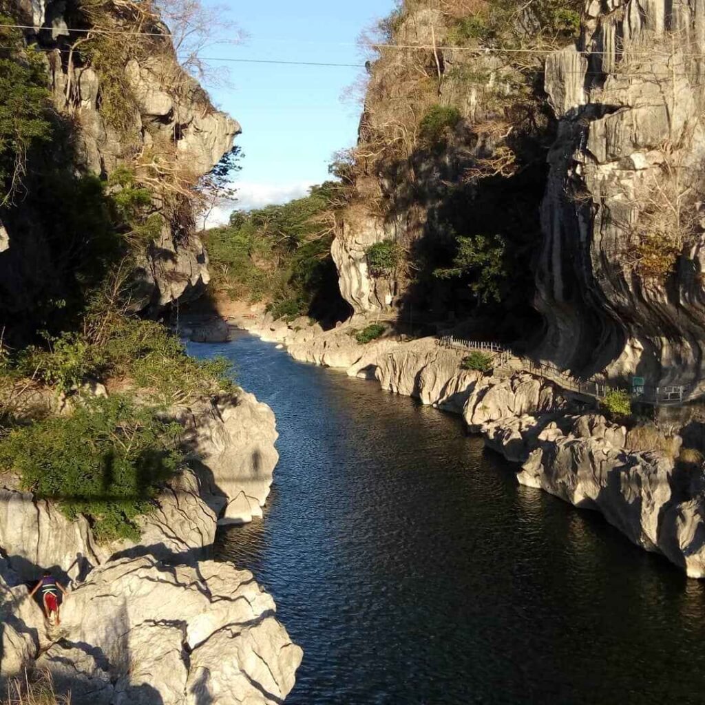
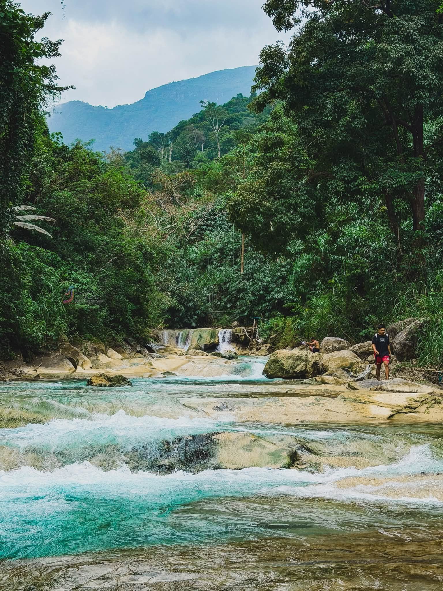
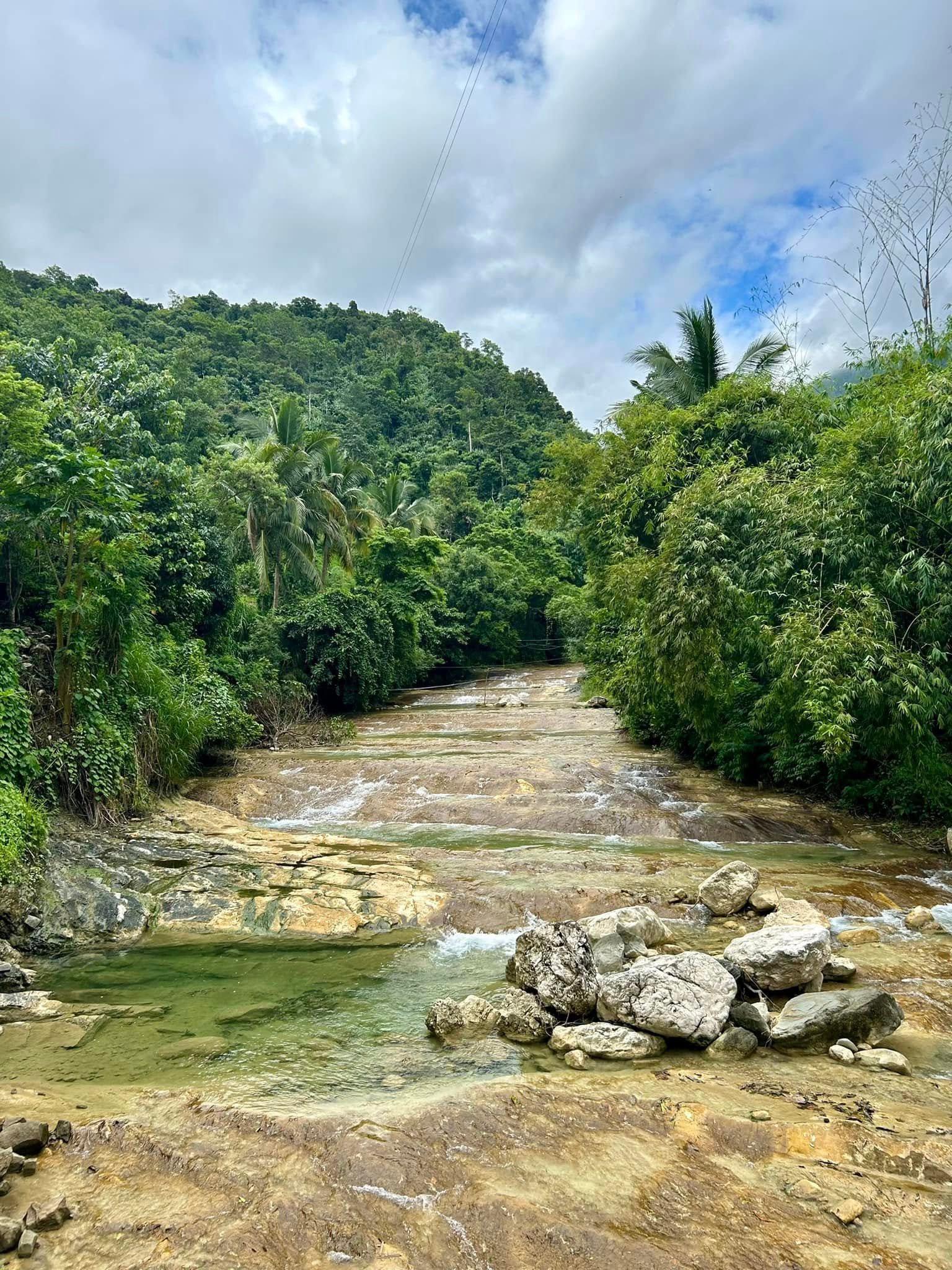
The first stretch cuts through narrow dirt paths in dense secondary forest. Then the terrain shifts entirely. You’re in the riverbed. The trail is not beside the river. It IS the river.
The route requires multiple direct river crossings as the navigable bank swaps sides repeatedly, blocked by sheer cliff faces that drop straight into the water. Wading depth varies. In the dry season, crossings sit at knee to thigh level. After heavy rain, the same spots run waist-deep or higher.
Between the crossing points, expect boulder scrambling. Smooth, rounded rocks coated in algae and moss make each step deliberate. Guides physically assist at the harder scramble sections, positioning themselves to catch or guide less confident trekkers. Don’t be too proud to take the hand.
Trail Markers (There Are None)
No painted arrows. No rope guides. No signage of any kind. The guide navigates using old-growth trees, the precise junctions where tributary streams feed into the main Lablabasan River, and boulder formations that only make sense to someone who has walked the route dozens of times.
I noticed my guide pause at one fork in the ravine for about ten seconds, looking upstream at two seemingly identical water channels. He chose the left one without a word. I asked him afterward how he knew. He said the rock color on the left bank changes slightly, a dark stain from a specific mineral seep. That’s the kind of detail no sign could replace.
The Final Approach to Kintukudan Falls
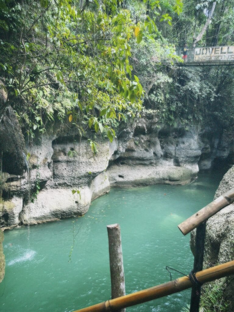
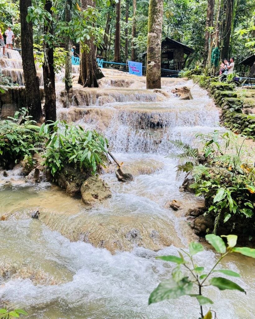
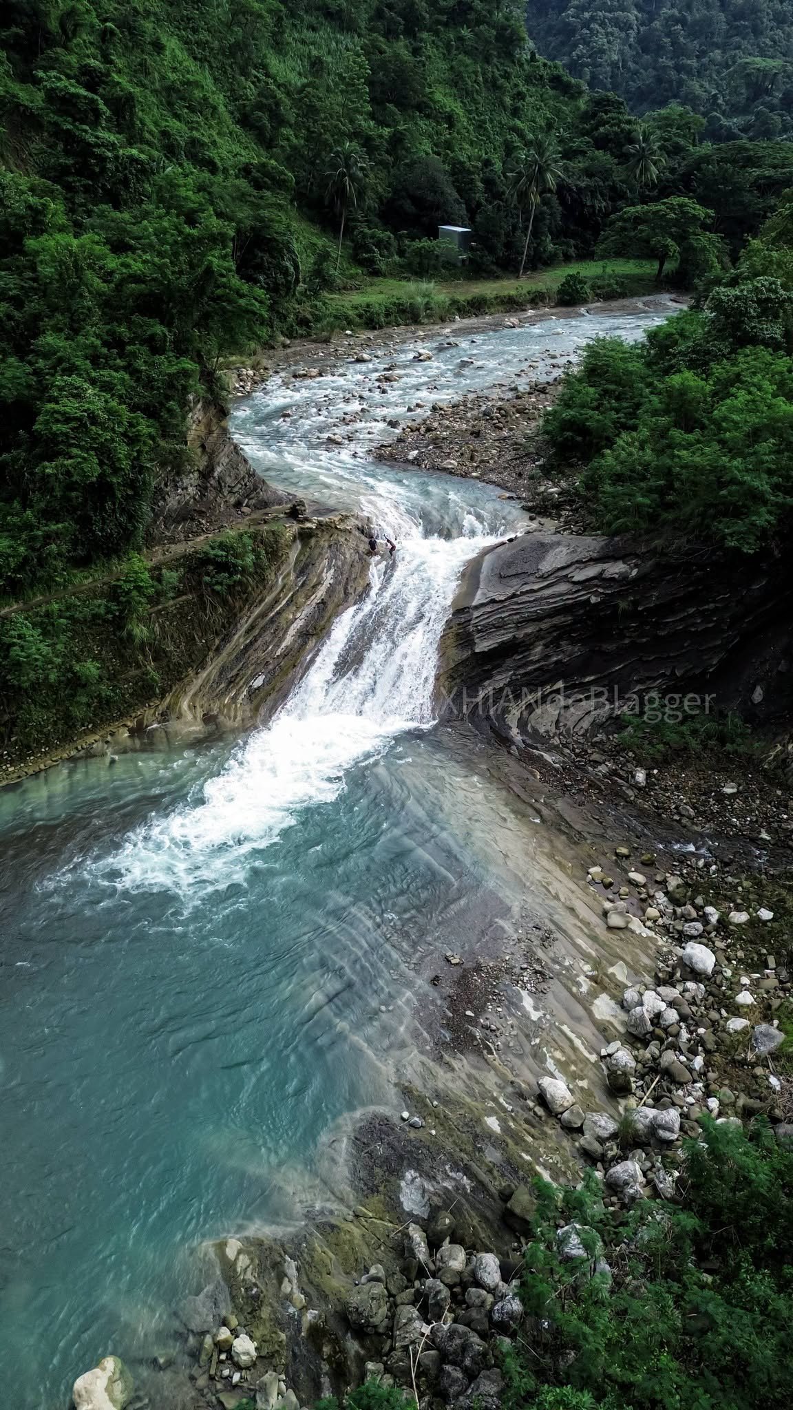
The sound of the falls arrives before any visual cue. The canyon narrows in the last 15 minutes of the hike, the air drops noticeably cooler, and moisture-heavy ferns crowd both walls. Then the falls come into view. Kintukudan features a concentrated, focused drop through carved rock chutes rather than a wide curtain spill. The plunge pool at the base is deep and substantially calmer than anything encountered on the approach.
Swimming and Activities at Lablabasan River and Kintukudan Falls
The plunge pool beneath Kintukudan Falls is the safest and most rewarding swimming spot on the entire route.
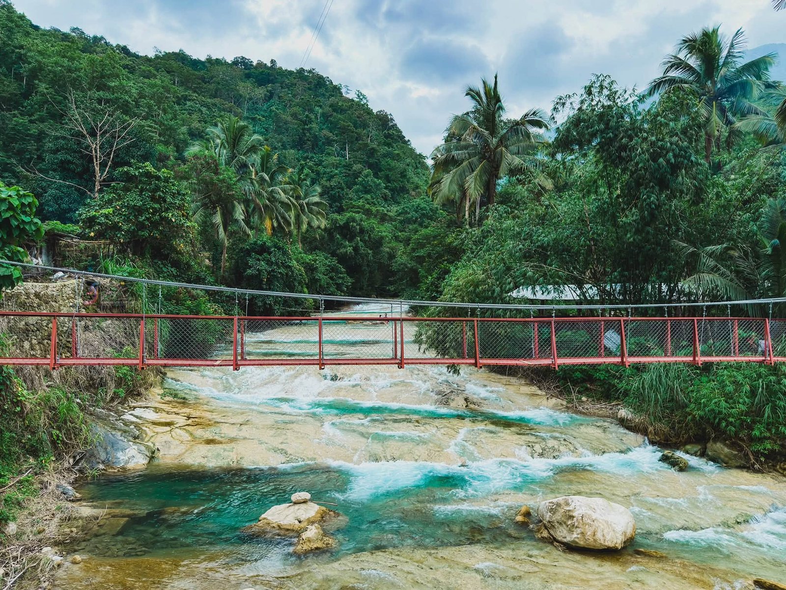
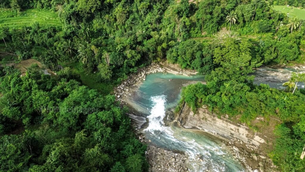
During the dry season, the water clarity in this pool is exceptional. The high-altitude watershed above has no agricultural fields, no villages, and no runoff. The visual effect is close to looking through glass at the riverbed. Depth is significant enough to jump from moderate-height ledges safely, but only on your guide’s explicit confirmation for that specific day. A pool that was clear of obstructions last month may have received a boulder deposit during the last storm.
Where You Can Swim:
- The main plunge pool directly below Kintukudan Falls is calm and deep during the dry season.
- Wide natural basins along the approach route, where the river slows and widens, offer additional swimming spots.
Where You Cannot:
- Narrow chutes and bottlenecks between pools accelerate the current sharply. These sections are for wading with footing only, not swimming.
River Trekking:
The primary activity here is river trekking, meaning you move through the water itself, wading, swimming across pools, and scrambling boulders as an integrated sequence. It’s not optional. It’s the route.
Tubing:
Seasonal. During the early transition months of November and December, water levels sit moderate enough for tubing in specific guide-approved stretches. Peak dry season sees levels too low for tubes to clear the rocks. Monsoon season makes it dangerous. There are no tube rentals available in Barangay Alfonso. Bring your own heavy-duty inflatable if you want to try it.
For a sense of what other adventure waterfalls in the region look like, Aw-Asen Falls in Sigay, Ilocos Sur offers a useful comparison in both terrain type and logistics. And if you’re considering Abra as part of a wider northern loop, Kaparkan Falls in Abra is worth adding to the itinerary.
Best Time to Visit Lablabasan River and Kintukudan Falls
The dry season from late November to May is the best time to visit. Here’s the specific breakdown:
Late November to February: Water levels are moderate and the river runs clear. Temperatures on the trail are cooler. This is the sweet spot for first-time visitors.
March to May: Water levels drop further. Clarity is at its peak, and the pools are calm. The trade-off is that some crossing channels become shallow and rocky, so tubing is off the table.
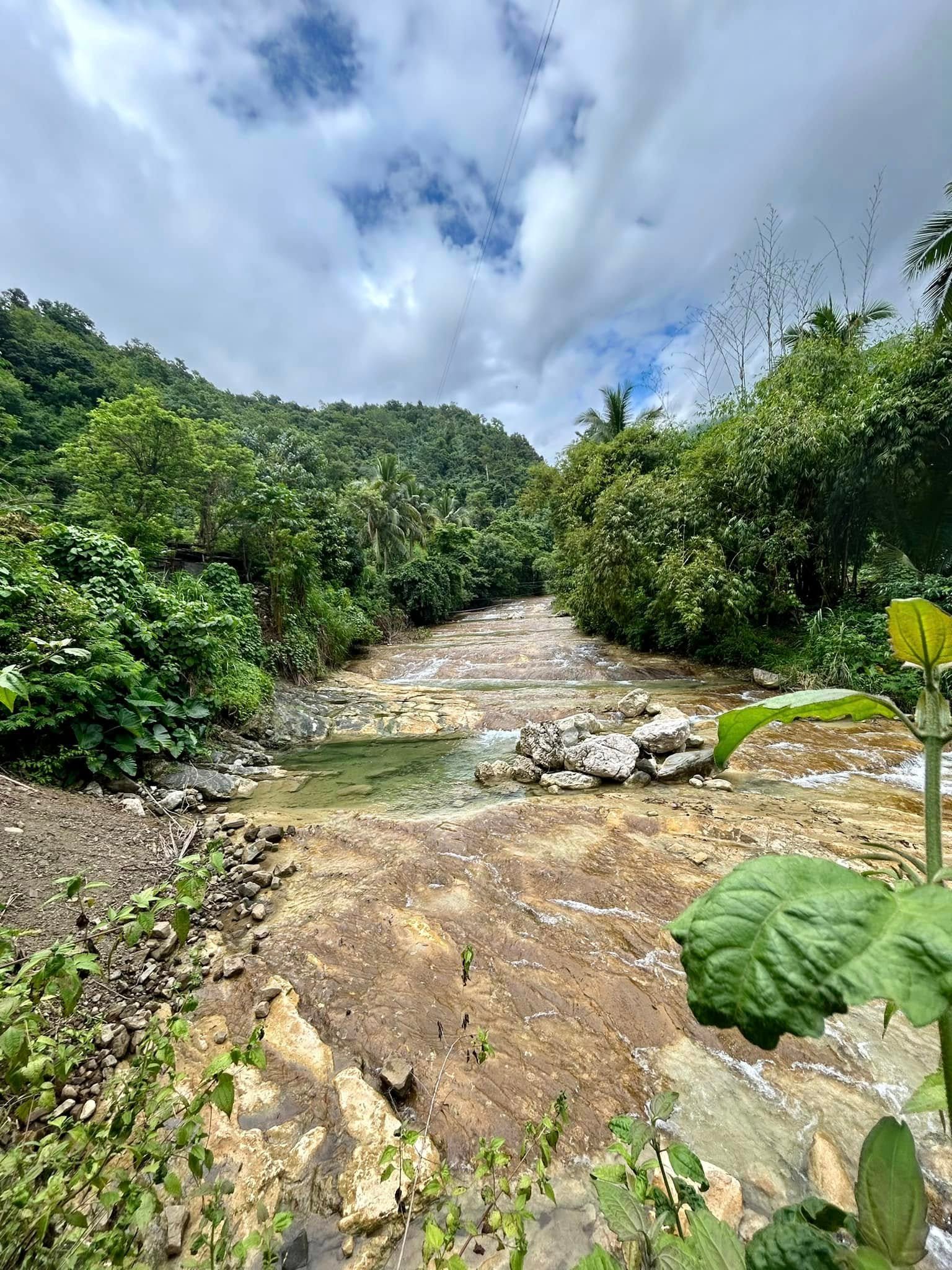
June to October (Habagat monsoon): Avoid, especially July to September. The southwest monsoon dumps rain on the upper watershed, turning the Lablabasan River opaque, fast, and genuinely dangerous. Flash floods here require no warning rain at your location. I visited in August 2026 and found the river running visibly high and murky compared to dry-season photos. The falls were still accessible, but the guide made us exit by 12:30 PM because afternoon cloud buildup upriver was noticeable. Respecting that call was not optional.
Budget Breakdown for Visiting Lablabasan River and Kintukudan Falls
| Expense | Cost (PHP) |
|---|---|
| Bus (Manila to Candon, one way) | 700–900/pax |
| Monster jeepney charter (Candon to GDP, shared) | 4,000/vehicle (split by group) |
| Monster jeepney public fare | 80–100/pax |
| Habal-habal (Candon to GDP, solo) | 500–800/bike |
| Registration/entrance fee | 30/pax (20 for students/seniors/PWDs) |
| Local guide fee (group of up to 5) | 1,000–1,500 |
| Food (bring from Candon or buy pandesal at GDP) | 100–300/pax |
| Contingency/emergency cash | 500–1,000 |
| Estimated per-person total (group of 4) | ~2,000–3,500/pax |
The per-person cost drops significantly with a bigger group, mostly because the charter vehicle and guide fee are fixed regardless of group size.
What to Pack for Lablabasan River and Kintukudan Falls
| Item | Essential? |
|---|---|
| Aquashoes or closed-toe water sandals with grippy rubber soles | Yes |
| Quick-dry synthetic clothing (no cotton) | Yes |
| Roll-top drybag for electronics, documents, and dry clothes | Yes |
| Minimum 2–3 liters of water per person | Yes |
| Energy food (pandesal, trail mix, energy bars) | Yes |
| Wilderness first aid kit (bandages, antiseptic, athletic tape) | Yes |
| Waterproof phone case or action camera | Recommended |
| Trekking poles with rubber tips | Helpful for boulder sections |
| Long-sleeved rash guard | Recommended (rock abrasion and sun exposure) |
| Full-length tights or quick-dry board shorts | Yes |
| Trash bag (Leave No Trace, no bins on trail) | Yes |
| Physical cash in full (no ATMs in GDP) | Yes |
| Sunscreen and lip balm | Recommended |
Cotton kills your comfort and your warmth in a shaded river canyon. Wear synthetic or merino everything. I wore a lightweight nylon long-sleeve shirt and board shorts on my visit, and both dried within 20 minutes between crossings.
Footwear note: This is the single most important gear decision. Foam-soled running shoes turn into waterlogged ankle-twisters within the first crossing. Algae-covered wet rock demands aggressive rubber lug soles. If you only invest in one piece of gear for this trip, make it the right shoes.
Safety Tips for Visiting Lablabasan River and Kintukudan Falls
Flash floods are the top risk here. A storm hitting the upper watershed miles away can send a wall of water downstream with no warning at your location. The sky above Kintukudan Falls can be blue while a dangerous surge builds unseen above you.
Your guide is the early warning system. The specific signals they watch for:
- A sudden unexplained drop in water temperature
- Water color shifting from clear to even slightly murky
- Organic foam or floating debris appearing on the surface
- A low acoustic rumble echoing down the canyon walls
If your guide says move to higher ground, move immediately and without debate. No photo is worth the alternative.
Specific water hazards to know:
- The plunge pool at Kintukudan Falls is deep but calm. Safe for swimming in dry season with guide confirmation.
- Narrow chutes between pools carry accelerated current. Wading only, one step at a time, with guide assistance.
- Submerged boulders are frequently deposited during monsoon floods. Pools that look clear from above can hide new obstructions.
- Slippery boulders on the approach are the most consistent cause of injury. Lacerations and sprains from boulder scrambles happen more often than water accidents.
No life vests are available for rental on-site. Non-swimmers should assess their comfort honestly before attempting the deeper pool sections.
No cell signal exists anywhere along the Lablabasan corridor. Barangay Alfonso’s deep ravine topography creates a complete telecommunications blackout. In a medical emergency, a guide or group member must physically run back to the barangay center to get help. This is exactly why the mandatory guide requirement exists.
Cut-off time is not negotiable. The 1:00–2:00 PM last entry rule means starting your return by 3:00 PM at the latest. Nightfall in a dense, unmarked riverbed is a genuine safety emergency.
What I Would Do Differently Next Time
Visiting in August meant I accepted a trade-off: the river was running high and the water had taken on a milky tint from upstream rain two days prior. The guide was professional and we stayed safe, but the clarity that makes Lablabasan River worth the effort was missing. I’d choose December or January on a return trip, both for the water and for the cooler trail temperatures.
I also underestimated how physically demanding the boulder scrambling is on tired legs. The two-hour hike out, after an hour at the falls, is harder than the hike in. Next time I’d bring trekking poles. The descents off the smooth, moss-covered boulders on the return leg are where most stumbles happen, not the ascent.
Finally, I’d pre-arrange the monster jeepney charter the night before in Candon rather than negotiating the morning of. Drivers who know you’re coming early accept the 6:00 AM departure time without complaint. Negotiating at 5:30 AM costs extra.
Frequently Asked Questions About Lablabasan River and Kintukudan Falls
Where exactly is Lablabasan River located in Ilocos Sur?
Lablabasan River is located in Barangay Alfonso, inside the landlocked municipality of Gregorio del Pilar, in the province of Ilocos Sur within Region I of the Philippines. The municipality covers 41.66 square kilometers of rugged, mountainous terrain in the Cordillera foothills. The river sits well inside the mountain interior and is not visible or accessible from any coastal road.
Is Lablabasan River safe for swimming?
Yes, with important conditions. During the dry season (late November to May), the wide natural basins along the river and the main plunge pool beneath Kintukudan Falls are calm, deep, and safe for confident swimmers. The narrow chutes connecting pools accelerate current sharply and are not safe for swimming at any time of year. The risk profile changes significantly during the monsoon. Flash floods can arrive without warning from the upper watershed even on clear days. Non-swimmers should consult their guide at each specific pool before entering, and confirm that no rainstorms have been reported upstream.
How do you get to Lablabasan River from Vigan or Baguio?
From Vigan, take a southbound vehicle to Candon City (about 30 minutes), then hire a chartered monster jeepney from the Candon Public Market for around PHP 4,000 per vehicle to reach the Gregorio del Pilar municipal center. From Baguio, take a northbound bus or van to Candon (roughly 3 to 4 hours via Tagudin), then follow the same Candon-to-GDP route. The Candon to Gregorio del Pilar leg crosses eight unbridged river channels and takes 1.5 to 3 hours depending on water levels. Departing Candon by 6:00 AM gives you a full day.
Can you do river rafting at Lablabasan River?
River rafting in the conventional sense is not an organized activity here. The Lablabasan River rafting experience is better described as seasonal river trekking with optional tubing in specific guide-approved sections. Tubing is viable during November and December when water levels are moderate. Peak dry season runs too low for tubes to clear the rocky riverbed, and the monsoon season makes any inflatable dangerous. There are no commercial rental facilities in Barangay Alfonso, so visitors must bring their own equipment.
What other attractions can you visit near Lablabasan River in Gregorio del Pilar?
The area is popular among adventurers for both its beauty and historical value. Sibol Hotsprings and Seven Bowl Falls can also be found in Gregorio del Pilar. The Tirad Pass National Shrine is the area’s primary historical landmark, commemorating the 1899 Battle of Tirad Pass and accessible via a separate mountain trail. Combining Lablabasan River in the morning with a visit to Sibol Hotsprings in the afternoon makes for an efficient full-day itinerary, though you’ll need to check guide availability for both.
Final Verdict: Is Lablabasan River and Kintukudan Falls Worth Visiting?
5 out of 5 for adventure travelers who prepare correctly. 3 out of 5 for first-timers who underestimate the logistics.
Lablabasan River and Kintukudan Falls deliver exactly what remote wilderness is supposed to feel like: genuine effort to get there, real physical engagement on the trail, and a payoff at the falls that no beach resort in the region can replicate. The mandatory guide system, the strict cut-off times, and the cash-only, signal-free environment are not inconveniences. They are the conditions that keep this place intact. Come prepared, leave before the deadline, and do it in the dry season.