
Mt. Halcon is a 9/9 difficulty, 2,582 MASL major climb in Baco, Oriental Mindoro, open only from February 1 to May 31 each year. Expect 3.5 to 4 days on trail, mandatory permits from the Baco Municipal Tourism Office, and a physically and mentally demanding route that combines deep river crossings, vertical scrambling, leeches, and cold summit ridges. You need a Basic Mountaineering Course (BMC) certificate or proof of a prior major climb to even get a permit.
Mt. Halcon Quick Guide
| Detail | Info |
|---|---|
| Mountain | Mt. Halcon (Sialdang) |
| Location | Baco, Oriental Mindoro |
| Province | Oriental Mindoro, MIMAROPA |
| Elevation | 2,582 MASL (est.; some surveys indicate up to 2,616 m) |
| Difficulty | 9/9 — Major Climb, Trail Class 2–4 |
| Jump-off | Brgy. Lantuyan, Baco (main); Brgy. Bayanan, Baco (alternate) |
| Best Season | February to May (dry season) |
| Trek Time | 15–18 hours to summit / 3.5–4 days round trip |
| Registration | Baco Municipal Tourism Office, Baco Municipal Hall |
| Key Campsites | Aplaya (≈1,100 MASL), Dulangan River Camp, Summit Camp |
Table of Contents
Where Is Mt. Halcon Located?
Mt. Halcon sits along the border of Oriental Mindoro and Occidental Mindoro, anchoring a rugged mountain range that spans approximately 60 kilometers and serves as a vital watershed for northern Mindoro’s rivers. The jump-off barangay is Lantuyan in the municipality of Baco, Oriental Mindoro.
According to data released by Oriental Mindoro PeakVisor in 2022, the mountain reaches 2,616 metres above sea level, higher than the long-cited estimate of 2,586 m, though no official government survey has yet confirmed the new figure. It ranks as the 23rd-highest peak in the Philippines and the 37th-highest peak of an island on Earth.
Spanish cartographers called it Monte Halcón — Mount Falcon — likely named for its beak-like silhouette or the raptors that circle its thermals. To the Mangyan-Alangan tribes, the indigenous custodians of this land, it has always been Sialdang. In their dialect, Sialdang translates roughly to “High Above the Clouds.” That name is not just poetic. It is accurate. When the mountain decides to fog in, visibility drops to arm’s length in minutes.
Mt. Halcon is recognized as a Key Biodiversity Area (KBA) covering 509.34 square kilometers, harboring endemic species including the Mindoro imperial pigeon, the critically endangered tamaraw (Bubalus mindorensis), and the Philippine crocodile. You are walking through one of the most ecologically sensitive zones in the country.
How to Get to the Mt. Halcon Jump-off Point
The standard route from Manila to the Lantuyan trailhead takes 6 to 8 hours and combines bus, ferry, and road transport.
From Manila, the standard route is a bus to Batangas Pier (₱200–375), a ferry to Calapan Port (₱300–900), and finally a chartered jeepney directly to the jump-off point (₱3,500/vehicle).
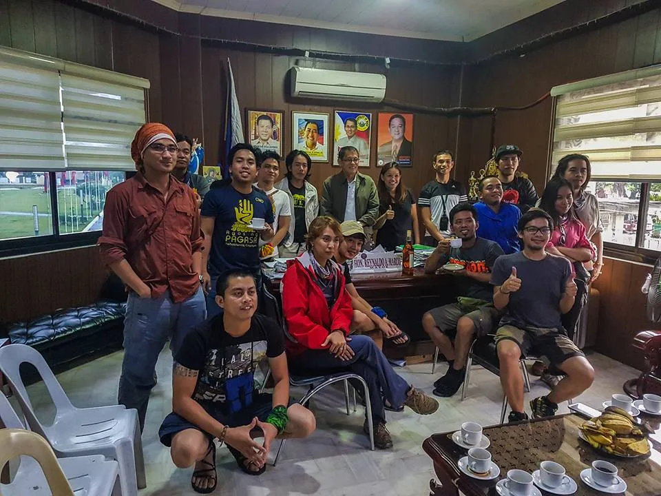
The driver will take you first to the Baco Municipal Hall for mandatory permit processing and orientation, and then proceed 45 minutes inland to the Lantuyan trailhead. Do not skip this stop. There is no permit at the trailhead itself.
The Baco Tourism Office operates on standard government hours. If you arrive too late to register, you will be forced to stay overnight in Calapan, delaying your itinerary by a full day. Plan to arrive at the Baco Municipal Hall before noon on Day 0. A pre-dawn departure from Manila makes this easily achievable.
I ate a tapsilog at a carinderia in Baco town while waiting for my team’s permits to finish processing. It was the last hot cooked meal I would have for four days. I recommend loading up here — the trailhead has no stores beyond basic sari-sari goods at the barangay entrance.
Climbers should monitor announcements from the Oriental Mindoro Tourism Office or DENR MIMAROPA. Local homestays in Baco offer basic but affordable accommodation for staging the hike. DENR MIMAROPA official website
Permits, Fees, and Guide Requirements at Mt. Halcon
All climbers are required to secure a climbing permit from the Baco Municipal Tourism Office. The fee is around ₱350–₱375 per person. Additional environmental and barangay fees may apply.
For the 2026 season, the Baco Municipal Tourism Office enforces a hard “No Walk-In” policy, requiring confirmed reservations, a valid Medical Certificate explicitly stating “Fit to Climb,” and proof of technical competency via a Basic Mountaineering Course (BMC) or a certificate of a previous major climb — such as Mt. Guiting-Guiting, Mt. Apo, or Mt. Pulag via the Akiki Trail.
Unlike other mountains where permits are issued to the group, Halcon climb permits are issued individually. Each person must submit a medical fitness certificate, a BMC or major climb certificate, an ID photocopy, and have a photo taken that will be printed directly on the permit.
All communication is routed through the Baco Tourism Culture and The Arts Facebook page or their official email. Expect response times to vary. Due to the daily carrying capacity often capped at 100 hikers, secure your slot at least 2–3 months in advance, especially for Holy Week dates.
Hiring a licensed local guide is mandatory for climbing Mt. Halcon. Guides ensure safety, trail navigation, and local coordination for permits and barangay entry. Most guides are based in Baco and must be booked in advance, especially during the climbing window of February to May.
Baco Municipal Tourism Office Facebook page
What Is the Mt. Halcon Trail Like?
Mt. Halcon is classified as a major climb with a difficulty rating of 9/9, primarily due to its steep slopes often exceeding 50 degrees, multiple river crossings involving strong currents, and highly unpredictable weather that can shift rapidly from clear skies to heavy rain and fog.
I climbed in February 2017 and it rained every single one of the four days. Not occasional showers — continuous rain. That changes the character of every single trail section below.
Stage 1: Lantuyan Village to Aplaya Campsite — Difficulty 3/5
Reason: Long but manageable gradient; the main hazard is leeches and slippery roots, not technical terrain.
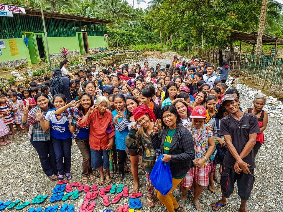
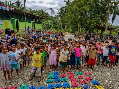
The trail begins at a suspension bridge through the Lantuyan Mangyan Village. The hike starts on a suspension bridge and passes through Lantuyan Mangyan Village. You will pass community houses, small farms, and children who will watch you load check your gear. Move quietly and respectfully through this section.
From the jump-off, early landmarks include the Aruta Community at around hour 3, then the Ayambukog Community, before reaching the Tabag Campsite and finally Aplaya Campsite by late afternoon.
You will likely terminate the first day at Aplaya Campsite at approximately 1,100 MASL. It is less of a campsite and more of a clearing in the jungle — perpetually damp and prone to becoming a mud pit during afternoon rains. Set up your tarp system before you set up your tent.
Stage 2: Aplaya to Dulangan River Camp — Difficulty 4/5
Reason: Steep descent on a narrow, root-tangled trail, ending in a river crossing that can stop your expedition entirely.
This section involves a deep descent to the Dulangan River starting from around 1,200 MASL. The trail is steep, and some sections are barely a foot wide beside a ravine. Climbers face the wall, entangle through roots, and hop across boulders and toppled trees before reaching the river.
The Dulangan River crossing was, for me, the single most memorable moment of the entire expedition — and the one that stopped several of my fellow climbers cold. Before the big ascent to the summit, you must cross the Dulangan River. In the dry season it is knee-deep; in a storm, it is a raging torrent that cuts off the mountain.
The Dulangan River lies between Lantuyan Mangyan Village and Mt. Halcon’s summit zone. It is known to swell to twice or even three times its normal size whenever there is heavy rain, stranding hikers for days.
In February 2017, after four days of non-stop rain, the current was violent. Quite a few hikers in our group refused to cross. They turned back to Camp 1 to overnight and return to the jump-off the following morning. That is not a failure — that is good judgment. Do not force the river. The Mt. Halcon Dulangan River crossing has ended the attempt of more experienced climbers than you might expect.
Safety protocol: unbuckle your hip belt and sternum strap before entering the water. If you go in with your pack buckled and you fall, you will not surface quickly.
Stage 3: Dulangan Camp to Summit Ridge — Difficulty 5/5
Reason: This is the hardest continuous push on the mountain — 10+ hours of vertical scrambling, mossy slabs, and a Knife Edge ridge walk in potentially sub-10°C wet-bulb temperatures.
After resting at the river, teams proceed to the most demanding section of the trail. The assaults require the use of both hands and significant upper body strength to climb. There is almost no rest from the vertical climbing except when stopping at water sources.
Beyond the river camps, trails are well-established but steep — akin to the Wild Boar Trail of Makiling, only with longer and steeper ascents. The only way to proceed is to keep moving and keep climbing.
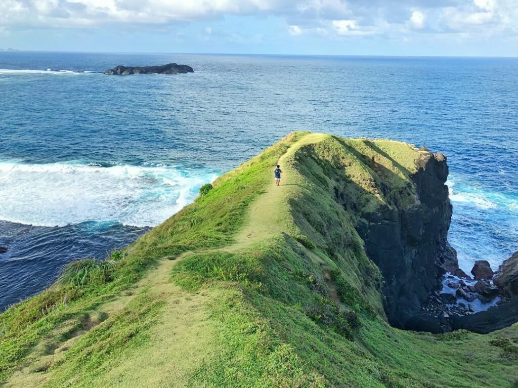
On the Azotea — the famous Knife Edge ridge — you are standing on a spine of rock barely a meter wide, flanked by stunted bonsai trees twisted by decades of monsoons. To your left, a sheer drop vanishes into a whiteout of clouds. To your right, the same abyss. The wind here does not just blow — it carries a wet chill that cuts through substandard layering instantly.
About thirty minutes before the summit, there is a stone monument dedicated to Neptali Lazaro, who died on Mt. Halcon in 1994 due to hypothermia during a sudden typhoon. It is a sobering reminder that the mountain demands respect and constant caution.
Stage 4: Descent — Difficulty 4/5
Reason: Fatigued legs on steep, wet root networks make the descent almost as dangerous as the ascent.
The full hike takes about 4 days comfortably — 2 days ascending and 2 for the descent. The descent can be compressed into 1 very long day, but only by fit, experienced teams.
The Summit Experience at Mt. Halcon
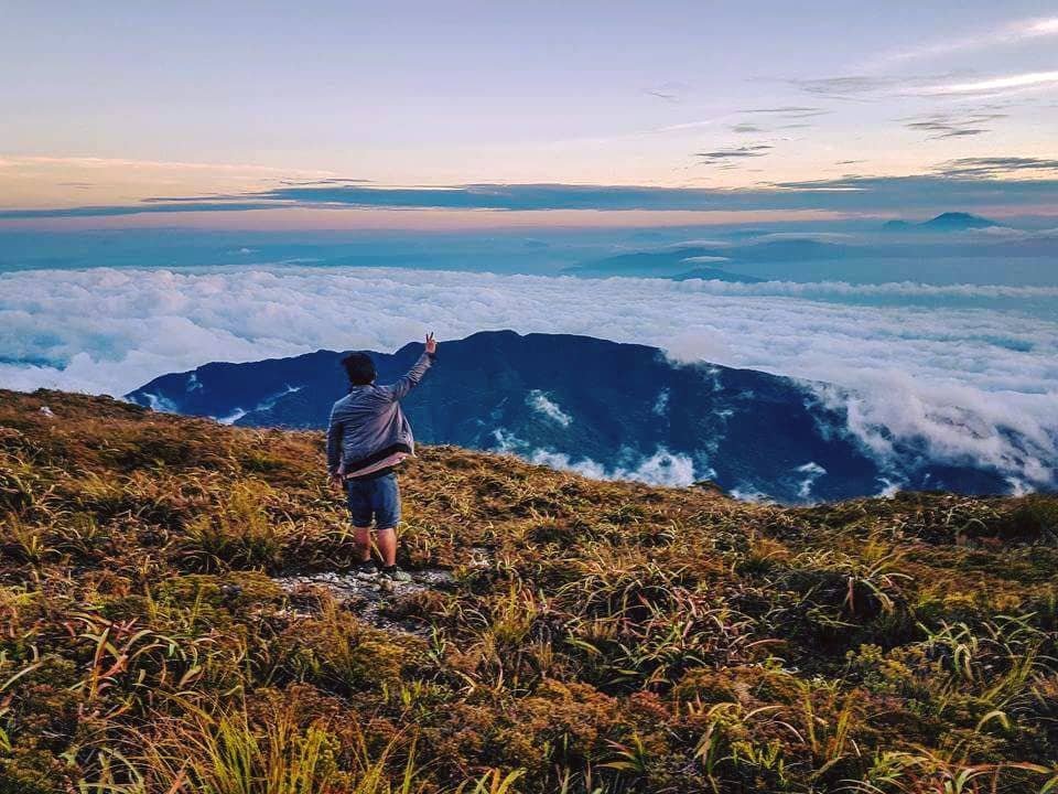
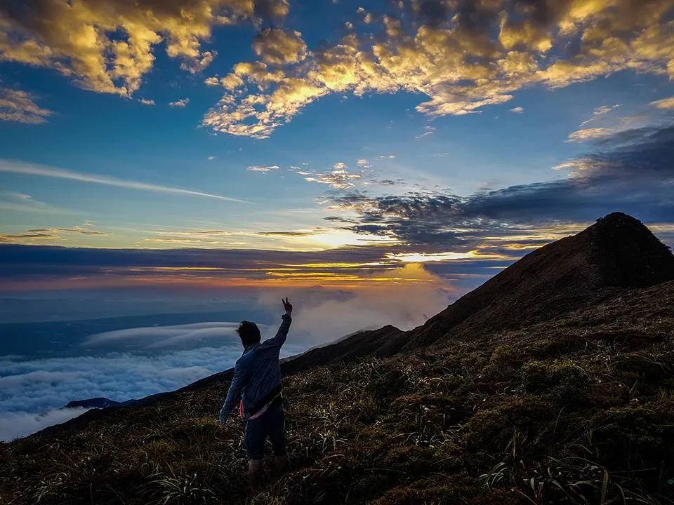
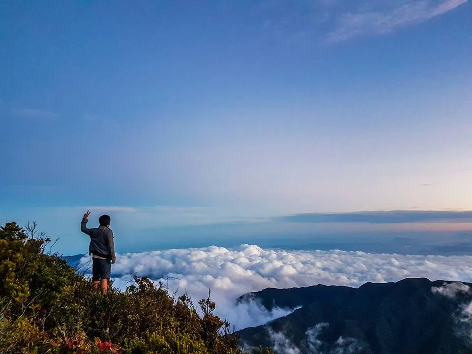
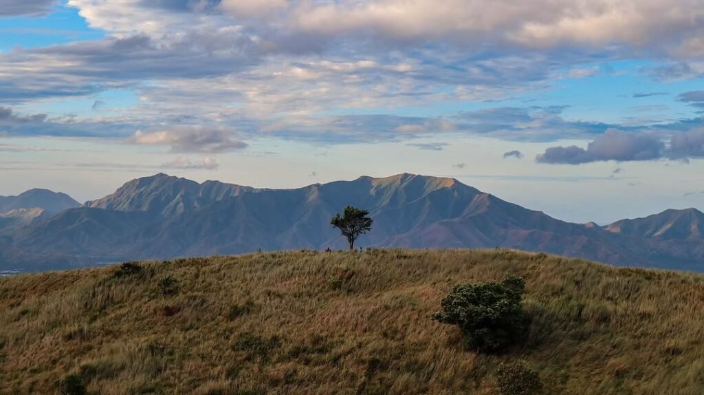
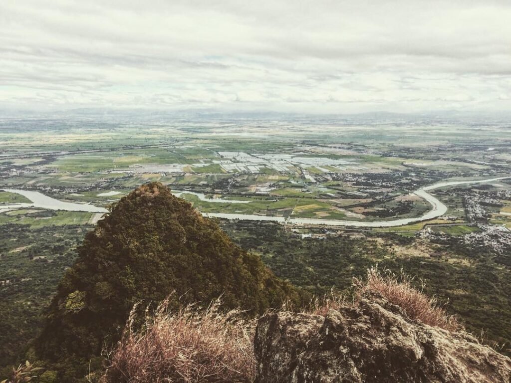
The summit of Mt. Halcon delivers on what it promises, but only if the weather cooperates. When I reached the ridge in 2017, the clouds had not fully lifted. But for about forty minutes early on the second summit morning, the view opened.
The view at the summit has been described by those who have reached the peak as the most magnificent sea of clouds they have ever seen, with the journey there filled with ecological diversity and clear-flowing waters.
The Mt. Halcon Sea of Clouds is not a casual panorama. It is a 360-degree whiteout of layered cloud below your feet, with ridge spines cutting through it like fins. On clear mornings, you can pick out the Sibuyan Sea to the northeast.
The Knife Edge area is not the true summit. The actual peak lies about an hour away, requiring a series of uphill and occasional downhill sections through bonsai trees and mossy forest. Budget your energy accordingly — many climbers celebrate too early at the Knife Edge and pay for it on the final push.
Multiple Trails at Mt. Halcon: Which One?
There are two established jump-offs, both in Baco municipality.
The trek takes 3–4 days, with the Lantuyan trail in Baco being the most popular starting point. There is also the Tawbuid trail, historically used by indigenous Mangyan tribes, which offers a different route through the mountain’s landscape.
The Lantuyan Trail (Brgy. Lantuyan) is the standard route and what most teams use. It passes directly through the Mangyan-Alangan community, which means you begin the cultural dimension of this climb from the first hour.
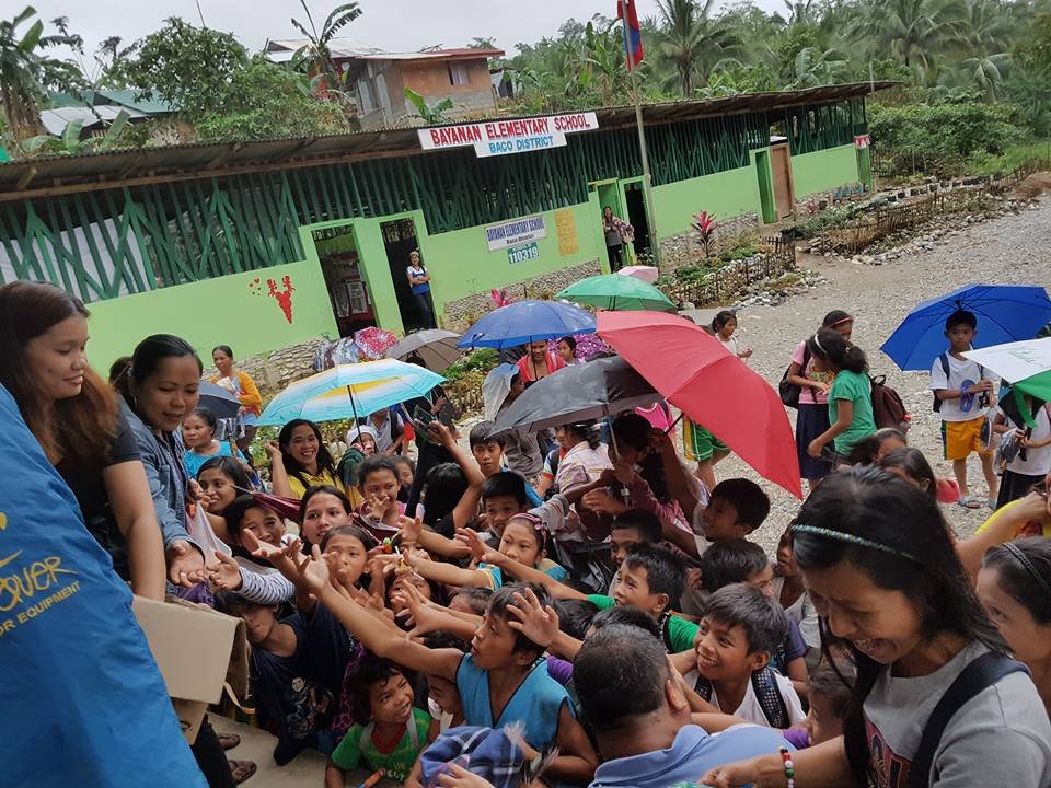
The Bayanan Trail (Brgy. Bayanan) is the alternate route. Some teams use this for traverses. The Bayanan Trail passes through Unang Durungawan before reaching Camp 1 at Aplaya. Coordinate with your guide to confirm which route fits your team’s itinerary and condition.
If you want context for how this mountain compares with the rest of the Philippines’ toughest climbs, see our guide to Philippine mountain difficulty ratings.

Best Time to Climb Mt. Halcon
Climbing Mt. Halcon is only allowed during the official climb season, February 1 to May 31, to protect the forest and forest-dwelling species.
This strictly enforced closure is not arbitrary. It serves two critical functions: ecological regeneration, allowing trails and endemic flora to recover from trampling; and meteorological safety, as the closure coincides with the Southwest Monsoon and typhoon season when the Dulangan River becomes uncrossable.
February and March give you the best window. The trails are wet from the prior season but the rains have not yet peaked. April can be very hot in the lowland approach. Late May is cutting it close — weather becomes unpredictable by the third week.
I climbed in February 2017 and experienced four consecutive days of rain. Even in the “dry season,” Mt. Halcon runs its own weather system. Pack for full wet conditions regardless of what the Metro Manila forecast shows.
What Other Guides Get Wrong About Mt. Halcon
Most guides list the permit fee and move on. They do not tell you that the guide situation on the ground can be a real concern.
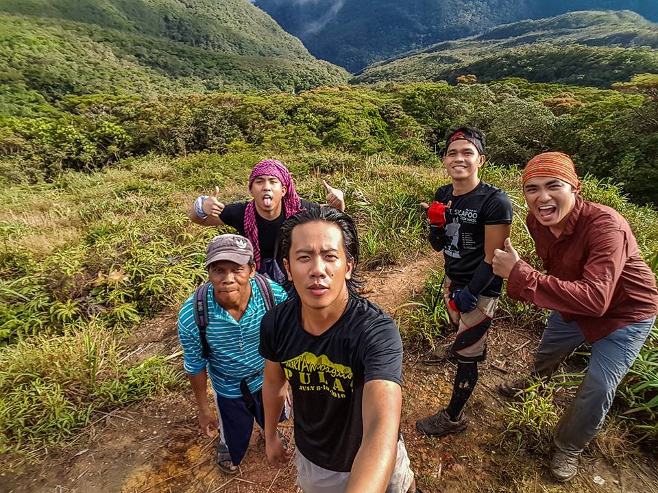
My Mangyan guide in 2017 arrived without proper hiking gear and without enough food to last four days. Our team had to provide a tent for him and incorporate him into our food supply. This is not an isolated story. The local government has not consistently provided guides with proper equipment. This is not the guide’s fault — it is a systemic gap. Treat your guide’s equipment and nutrition as part of your planning, not an afterthought.
Always remember that you are a guest in the ancestral domain of the Mangyan-Alangan. Their permission is the only reason you are there. Treat your porters and guides not as service staff, but as the survival experts they are.
Pay your guides fairly and share your food. Leave No Trace is not optional here — it is the law.
You are also responsible for feeding your guide. If you do not include them in your meal plan, you must provide a cash allowance of approximately ₱150–₱200 per day. Do not assume your guide has brought enough food. Budget to feed them fully for every day on the mountain.
Visitors to Mangyan communities are expected to be culturally sensitive. Taking photos and videos is subject to the approval of the community leader. Ask before you point your camera at anyone in the Lantuyan village. A nod from the guide is not enough — find the community leader and ask directly.
Budget Breakdown for Climbing Mt. Halcon
For a safe and comfortable expedition in 2026, budget between ₱6,000 and ₱8,000 per person. This estimate assumes a standard solo-joiner scenario within a team of 5 climbers sharing communal costs.
| Expense | Estimated Cost (PHP) |
|---|---|
| Bus Manila–Batangas | ₱200–275 |
| Ferry Batangas–Calapan (round trip) | ₱600–1,400 |
| Jeepney/van Calapan–Baco | ₱100–150 |
| Chartered jeep Baco–jump-off (shared) | ₱700–800/person |
| Climb permit (Baco Tourism Office) | ₱350–375/person |
| Environmental/barangay fees | ₱25–50/person |
| Guide fee (per day) | ₱500–700/day |
| Porter fee (optional, per day/15kg) | ₱500/day |
| Guide meals/allowance | ₱150–200/day |
| Food (4 days trail + 1 day Manila) | ₱1,500–2,000 |
| Overnight accommodation in Calapan | ₱500–1,000 |
| Estimated Total | ₱6,000–8,000 |
Verify current permit fees directly with the Baco Municipal Tourism Office before your climb, as rates are adjusted periodically.
What to Pack for Mt. Halcon
The mountain is wet, cold at altitude, and infested with leeches from base to treeline. Standard weekend-hike gear is not adequate.
| Item | Essential? |
|---|---|
| 4-season tent or double-wall tent with full fly | Yes |
| Heavy-duty tarpaulin (3m × 4m minimum) | Yes — for your guide and as camp redundancy |
| Dry bags (multiple sizes) | Yes |
| Thermal base layer (sealed in dry bag until summit) | Yes |
| Waterproof rain jacket AND rain pants | Yes |
| Trekking poles with carbide tips | Yes |
| Locking carabiners + 10m utility rope | Yes — for the Knife Edge in wet conditions |
| Water filter pump (e.g., Sawyer Squeeze) | Yes — not just tablets |
| Leech socks / fine-knit leggings | Yes |
| Headlamp + spare batteries | Yes |
| First aid kit with blister, wound, and fever treatment | Yes |
| Emergency whistle and signal mirror | Yes |
| Gaiters | Strongly recommended |
| Sandals or water shoes for river crossings | Yes |
| Portable phone charger (waterproofed) | Yes |
| Extra food (at least 1 day beyond plan) | Yes — for your guide and for delays |
Hypothermia is the leading cause of fatalities on tropical mountains like Mt. Halcon, often striking when climbers underestimate the combination of rain, wind, and fatigue. Even in the Philippines, ridge temperatures can drop to single digits Celsius with wind chill factored in.
When soaked and exposed to high winds on the Knife Edge, the body loses heat 25 times faster than when dry. Pack one set of thermal clothes inside a high-quality dry bag and do not open it until you are at Summit Camp for the night.
On water: water is accessible near Aplaya Campsite. The mossy forest streams are generally clear, but organic matter in the soil can affect taste and safety. Use a filter pump, not just iodine tablets. Tablets alone are insufficient for the volume you will consume over a multi-day expedition in high humidity.
Safety Tips for Climbing Mt. Halcon
The Dulangan River is the primary turnaround trigger. If it has rained continuously for 12 or more hours before your crossing day, your guide will assess the water level. Listen to them. When it rains, the Dulangan River can become too dangerous to cross. Check weather forecasts before planning the crossing day.
Leeches are unavoidable. Wear proper hiking attire because you will encounter limatik or leeches along the trail. Leech socks, gaiters, and DEET help but do not fully prevent attachment. Check yourself at every rest stop.
Emergency evacuation from Mt. Halcon is slow. There are no road-accessible rescue routes above the jump-off. An injured climber requires manual carry-out, which adds 8–12 hours minimum depending on location on the trail. The Baco Municipal Disaster Risk Reduction and Management Office (MDRRMO) is the primary emergency contact — register your emergency contact number with them during permit processing. Leave your ID at the Baco Police Station before you start the trail, as most experienced teams do.
Hypothermia prevention starts on Day 1. Stay dry where possible, eat every 2–3 hours to maintain core temperature, and change out of wet base layers whenever you stop for more than 30 minutes at high elevation. Do not wait until you are shivering to act.
The mountain has a hard close date of May 31. The mountain is often closed during the rainy season due to flash flood danger, slippery trails, and strong summit winds. Monitor announcements from the Oriental Mindoro Tourism Office or DENR MIMAROPA.
Physical Training for Mt. Halcon
Mt. Halcon is rated 9/9 difficulty — the maximum on the PinoyMountaineer scale. The mountain requires 15–18 hours of trekking time to the summit, with Trail Class 2–4 features including river crossings, mossy forests, and rocky ridges.
Use this 12-week benchmark sequence before attempting Halcon:
- Weeks 1–4: Complete 3 trail runs per week (8–12 km each). Add one overnight hike on a Class 3 mountain (e.g., Mt. Batulao, Mt. Marami). Focus on endurance, not speed.
- Weeks 5–8: Complete a full major climb rated 7/9 or higher — Mt. Pulag via Akiki Trail is ideal. This satisfies both physical prep and permit requirement evidence. Add weighted pack training (15–20 kg) on local trails.
- Weeks 9–12: Complete a second major climb or a traverse. Train stair climbs with a loaded pack 3× per week. Add upper body strength work — the summit assault requires both arms and legs.
- 2 weeks before: Taper. No new exercises. Sleep, nutrition, gear-check.
The goal is to arrive at the jump-off having already completed at least 40+ hours of trail time with overnight exposure. If you cannot finish a 10-hour day on a Grade 7 mountain without significant distress, postpone Halcon.
For a broader look at the mountains you should complete on the path to Halcon, check our complete Philippines mountains travel guide
Mt. Halcon vs Mt. Guiting-Guiting: Which Is Harder?
In the PinoyMountaineer difficulty scale, Mt. Guiting-Guiting stands alongside Mt. Halcon and Mt. Mantalingajan as the upper limit of Philippine climbing difficulty.
Mt. Guiting-Guiting, along with Mt. Halcon and Mt. Mantalingajan, forms what is known as the Knife Edge Trilogy — named for the steep and highly technical trails that only seasoned hikers can navigate.
The honest comparison: G2 is technically sharper and more exposed on the ridge, with razor-edged rock faces and a harder summit push. Halcon is longer, wetter, more physically grinding, and punishes teams with poor moisture management far more than G2 does. The trail on Halcon is much longer than G2’s, though G2 still has the edge in pure technical difficulty.
If you want to understand G2 before deciding on your sequence, read our full Mt. Guiting-Guiting climbing guide After your Halcon climb, consider recovering at the beaches of Romblon, Cresta de Gallo or Maniwaya Island in Marinduque all accessible from the MIMAROPA region.
Frequently Asked Questions About Mt. Halcon
How many days does it take to climb Mt. Halcon?
The standard itinerary requires 3.5 to 4 days on the mountain, with 15 to 18 hours of total trekking time to the summit. Most teams use 4 days: Day 0 for travel and permits, Day 1 to Aplaya or Dulangan Camp, Day 2 to Summit Camp, Day 3 for the summit and descent start, Day 4 for full descent to the trailhead. Fast, very experienced teams have compressed this, but 4 days is the right budget for a safe first or second attempt.
Is Mt. Halcon the hardest mountain to climb in the Philippines?
Mt. Halcon is often regarded by hikers as the toughest mountain in the country, but the title is genuinely debated. Many say Halcon is the toughest. Quite a few say it is Guiting-Guiting. What is not debated is that both mountains sit at the 9/9 ceiling of the Philippine difficulty scale. Halcon is tougher on endurance, logistics, and weather management. G2 is technically sharper. Both will expose every weakness in your preparation.
Do you need a guide to climb Mt. Halcon?
Yes, a licensed local guide is mandatory — no exceptions. A licensed local guide is required for climbing Mt. Halcon. Guides ensure safety, trail navigation, and local coordination for permits and barangay entry. Beyond the legal requirement, an Alangan Mangyan guide who knows the trail is a genuine safety asset. They read the river, read the weather, and know where the trail disappears under mud after rain. You cannot replace that with a GPS track.
What is the best time of year to climb Mt. Halcon?
The ideal time to climb Mt. Halcon is during the dry months of February to May. The mountain is closed during the rainy season due to the danger of flash floods, slippery trails, and strong summit winds. February and early March offer the most stable conditions within that window
Pingback: MT. Ugo Unbound: Trails Conquered, Majesty Unleashed - LakbayPinas
Thanks for sharing. I read many of your blog posts, cool, your blog is very good.