This Mt. Pico De Loro hiking guide covers a 664 MASL minor climb in Ternate, Cavite. It is rated Difficulty 3/9 and open only on select days with a strict 90-hiker daily cap. As of October 2026, online booking is the only way in.
I have covered 69 of the 82 provinces since 2015, and few mountains this accessible from Manila give you a rock spire, a coastal panorama, and a paved trail that drains fast — all in a single morning. This guide covers everything you need before you book: registration, fees, transport, the trail, and what changed on my return visit this October.
Key Takeaways
Here are the six facts every planner needs before anything else.
- 664 MASL summit elevation, 3.5 km one-way trail, Difficulty 3/9 (Minor Climb). Trail Class refers to the DENR path condition scale, where Class 1 is a paved or improved path and Class 3 is a natural trail requiring care.
- Online booking is mandatory at mppmngnp.com, walk-ins are turned away at the gate, no exceptions
- 90 hikers maximum per day; book 2–3 weeks in advance, peak summer Saturdays fill within days of slots opening
- ₱200 entrance fee (local) or ₱300 (foreign national), plus a flat ₱500 guide fee per group of up to 5
- No overnight camping, no Monolith climbing, no pets, minimum age 17, all strictly enforced by DENR-PAMO
- The trail can close without notice for typhoons or trail damage; the most recent closure ran from 21 August to 12 September 2026, so email [admin@mppmngnp.com](mailto:admin@mppmngnp.com) before booking travel if a typhoon has recently passed.
Table of Contents
How to Book Mt. Pico de Loro Online
Mt. Pico de Loro online registration is done exclusively at mppmngnp.com, there is no counter booking, no phone reservation, and no walk-in allowance. The park’s Protected Area Management Office (PAMO) enforces the 90-hiker daily limit through a printed manifest drawn from the online database. If your name is not on it, the security personnel at the DENR Station will not let you through.
Step-by-step booking process:
- Go to mppmngnp.com and choose your preferred hiking date
- Fill in hiker details for every member of your group
- Pay the entrance fee through the portal’s integrated payment channels: GCash, Maya, major bank transfers via Instapay or Dragonpay, and Visa, Mastercard, or PayPal debit and credit cards
- Save the confirmation QR code to your phone’s camera roll, download it before you leave Metro Manila, because mobile signal on CAVITEX at 4:30 AM is unreliable and you do not want to discover that at the gate
- On arrival, present the QR code and a valid ID to the park officer
Book 2–3 weeks in advance for any Wednesday to Saturday slot. For Friday and Saturday dates in the dry season (March to May), book at least three weeks out, those slots go fast. The park is closed Sunday to Tuesday.
On arrival day, after your QR code is scanned, you will watch a mandatory 15-minute environmental orientation video and be assigned a guide before the trail opens. The orientation starts when your group is complete, so arrive at the DENR Station by 6:30 AM at the latest.
If you need to cancel or rebook because of a typhoon closure or personal emergency, contact the PAMO office directly at admin@mppmngnp.com (office hours Monday to Friday, 8:00 AM to 5:00 PM). The physical office is at Sitio Malauyas, Brgy. Sapang I, Ternate, Cavite. Failure to complete payment online cancels your slot automatically.
One note on schedule: the 2023 reopening announcement said the mountain was open Wednesday to Saturday. By late 2025, many hikers found the trail running on Friday and Saturday only. Contact PAMO before booking a Wednesday or Thursday date to confirm current operating days.
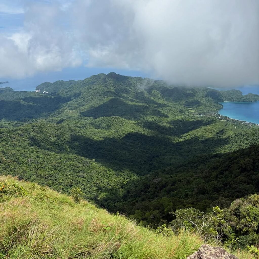
Entrance Fee, Guide Fee, and Full Cost Breakdown
The Pico de Loro entrance fee 2026 sets at ₱200 per person for local hikers and ₱300 per person for foreign nationals, paid through the booking portal before your visit. The guide fee is a flat ₱500 per guide, covering a group of up to 5 hikers.
Hiking solo still costs ₱500 for the guide. A group of 6 or more needs a second guide, bringing the guide total to ₱1,000.
Fares below are as of October 17, 2026. Transport costs here follow diesel and gas prices.
Here is a realistic total cost per person depending on group size and transport.
| Item | Solo | Group of 5 |
|---|---|---|
| Entrance fee (local) | ₱200 | ₱200 |
| Guide fee (split) | ₱500 | ₱100 |
| Bus PITX to Ternate | ₱100–₱120 | ₱100–₱120 |
| Tricycle to DENR jump-off (split) | ₱150–₱200 | ₱30–₱40 |
| Restroom/shower at base | ₱10–₱20 | ₱10–₱20 |
| Estimated total (no parking) | ₱960–₱1,040 | ₱440–₱480 |
For private vehicles, parking at the DENR Station costs ₱50 for a motorcycle, ₱100 for a sedan or SUV, and ₱200 for a van. The parking area is gated and monitored.
The guide fee listed above (₱500 flat) is the DENR-PAMO set rate. Individual guides have been known to quote higher on busy weekends. If a guide quotes you more than ₱500 for a group of 5, ask to settle it at the registration desk with the park officer present (as of October 17, 2026).
How to Get to Mt. Pico de Loro from Manila
Mt. Pico de Loro sits inside the DENR Mounts Palay-Palay / Mataas na Gulod Protected Landscape in Ternate, Cavite. From Metro Manila, it takes 1.5 to 2 hours by private vehicle and 2.5 to 3 hours by public transport.
By public transport:
- Board a bus at PITX (Parañaque Integrated Terminal Exchange) bound for Ternate, Cavite. Earliest trips leave around 4:00 AM to 5:00 AM. Fare is ₱100 to ₱120 per person. Ride time is about 2 hours. Get off at the Ternate Bus Terminal, which is the end of the line.
- From the terminal, hire a tricycle (a three-wheeled motorcycle taxi with a sidecar) to the DENR jump-off. Fare is ₱150 to ₱200 per tricycle, which fits up to 3 passengers. Ride time is 30 to 45 minutes.
- Before you let the driver go, arrange a specific pick-up time for your return. Tricycles at the DENR station in the afternoon are scarce, and being stranded there at 2:00 PM with a full descent behind you is not a comfortable situation.
By private vehicle:
- Take CAVITEX (Manila-Cavite Expressway) to Centennial Road, then drive through Kawit, Tanza, and Naic via the Naic-Ternate Highway. Watch for the Puerto Azul entrance and the section called Magnetic Hill as landmarks. The Palay-Palay / Mataas na Gulod Protected Landscape entrance is clearly marked on the right as you enter Ternate.
- On Saturdays, arrive before 6:00 AM. The parking area fills quickly.
Important: Do not enter “Pico de Loro” into Waze or Google Maps without confirming the destination. “Pico de Loro Cove” routes to a private beach resort in Nasugbu, Batangas, a completely different place. Set your destination as DENR Station Ternate or Mounts Palay-Palay Protected Area to reach the correct jump-off.
The jump-off has basic restrooms and shower stalls (₱10 to ₱20 per use) and small sari-sari stores (small neighbourhood shops) selling water, sports drinks, and silog meals (garlic fried rice with your choice of protein, the kind of breakfast that gets you up a mountain).
Trail Facts, Difficulty, and What to Expect
Mt. Pico De Loro difficulty is rated Difficulty 3/9, which falls under DENR Trail Class 1–3 (a minor climb). Trail Class 1–3 means the route is non-technical and suitable for first-time hikers and those returning to hiking after a break. The one-way trail is 3.5 km.
The elevation gain is 600–650 m, which is a useful number if you are comparing this against other beginner peaks near Manila. The summit sits at 664 MASL, and you start close to sea level at the DENR jump-off in Ternate.
Ascent: 2 to 2.5 hours. Descent: 1 to 1.5 hours. Total trek: 2 to 4 hours depending on pace and how long you stay at the top.
For context on what a Difficulty 3 trail actually feels like compared to other beginner options near Manila, the beginner-friendly minor climbs guide covers the full range with comparable profiles.
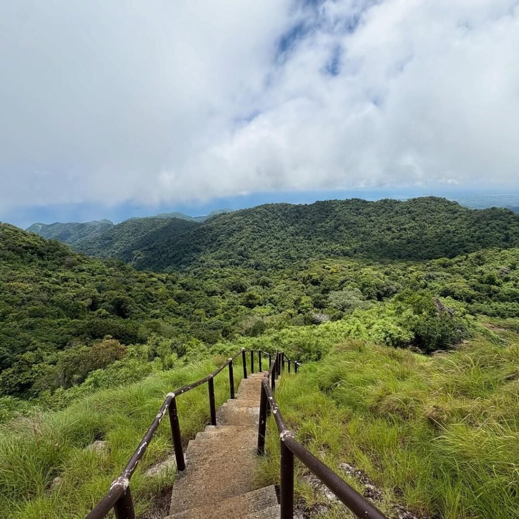
The trail is the rehabilitated “New Trail,” reopened in 2023. Most of the climb runs on concrete staircases, which keeps the path dry and navigable but makes the cardiovascular demand higher than the difficulty number suggests. Gym-goers with good cardio are often more winded here than on natural slopes of the same elevation. The stair rhythm spikes the heart rate and puts continuous load on the quads.
The trail breaks into three distinct phases:
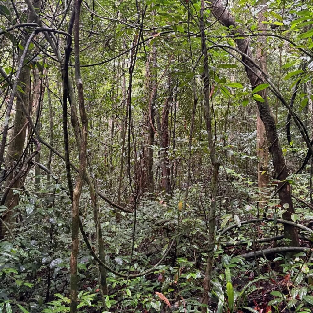
Phase 1. Dipterocarp Forest Approach: The first kilometer runs through dense lowland rainforest on wide, compacted soil, often reinforced with bamboo handrails in muddy sections. The forest is loud with birds in the early morning. The mountain’s recovery after years of restricted access shows clearly here, tall canopy, sprawling roots, and macaques rattling the trees above you.
Phase 2. Stairway to Heaven: About 45 minutes in, a relentless concrete staircase begins. The most distinct stretch is a 145-step staircase that pushes you toward the summit area. This is the section where pacing matters most. Take the stairs in short bursts rather than one continuous push.
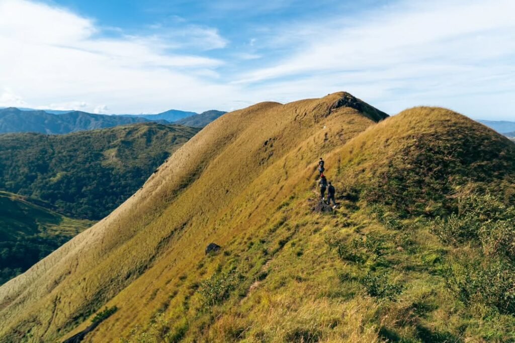
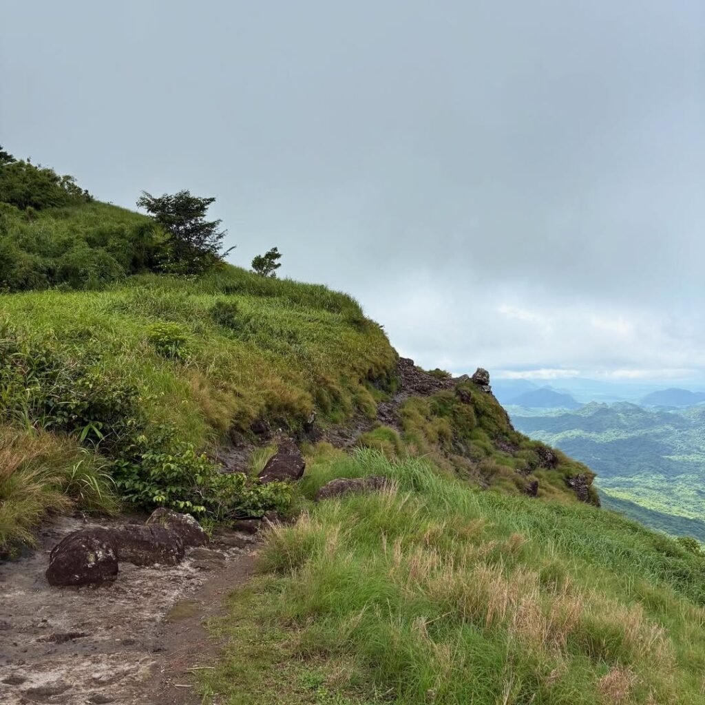
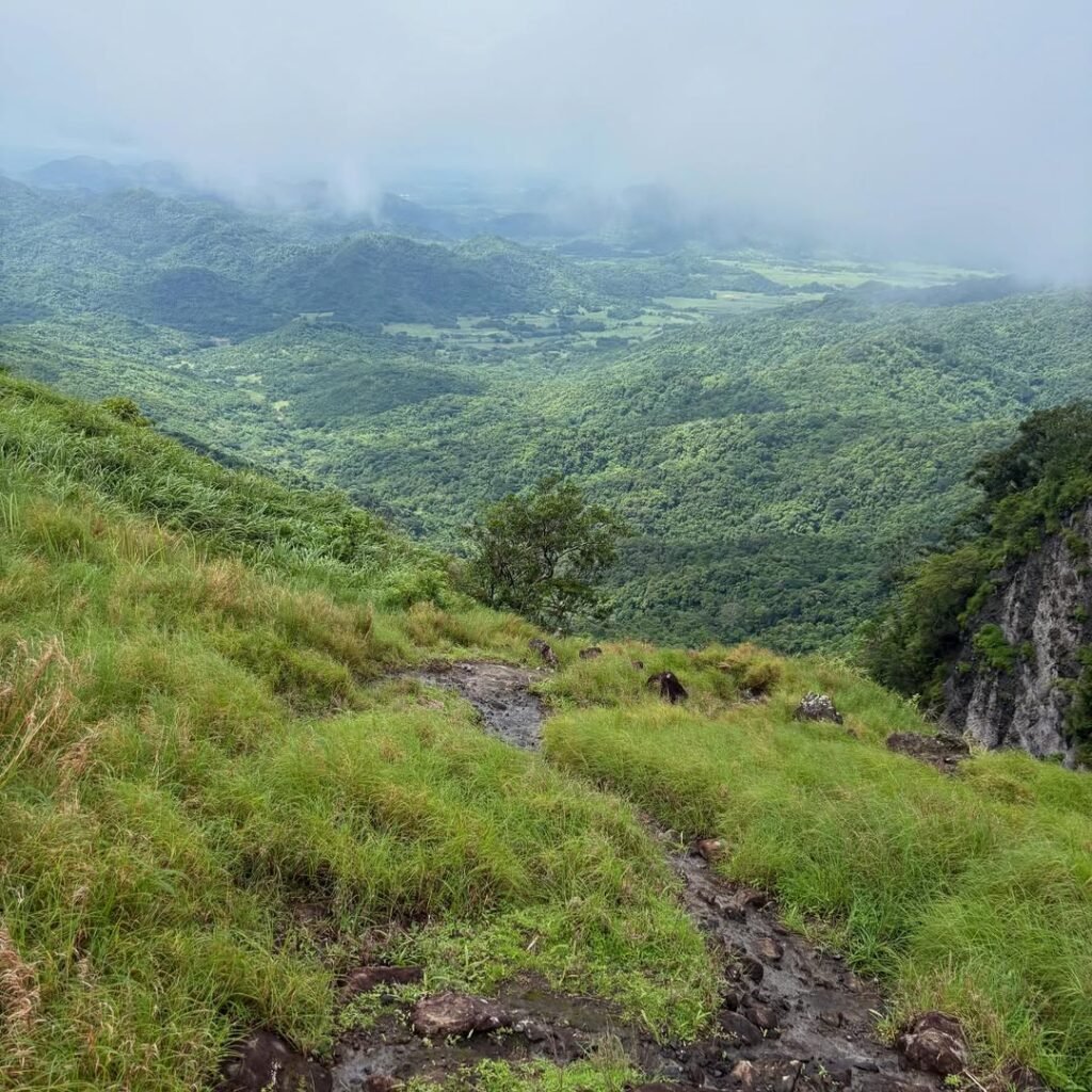
Phase 3. Summit View Deck at 664 MASL: The terrain near the top returns to natural rock and loose soil, the only section where footing needs attention.
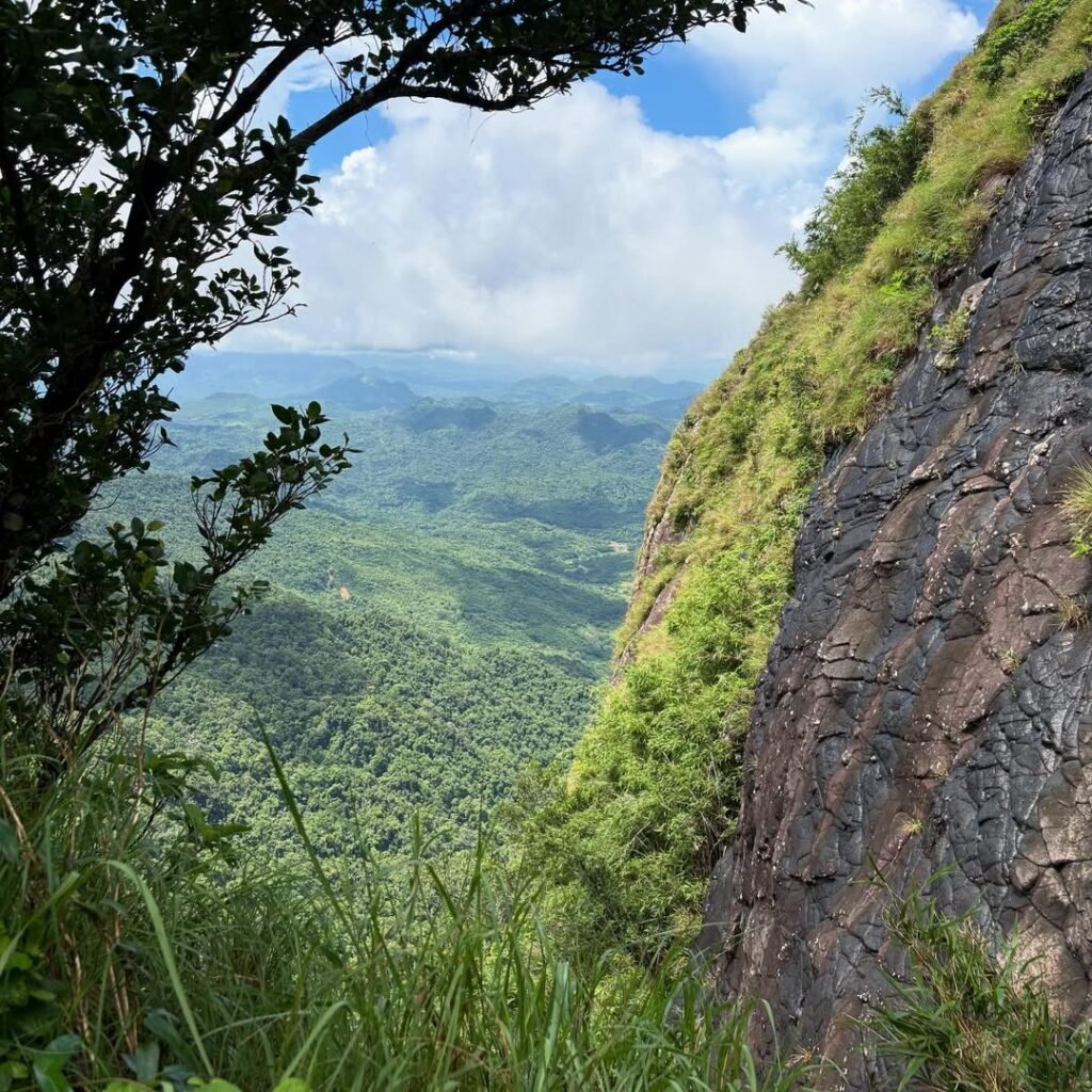
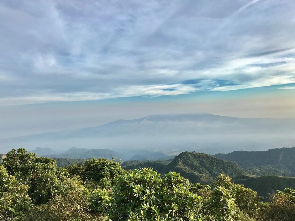
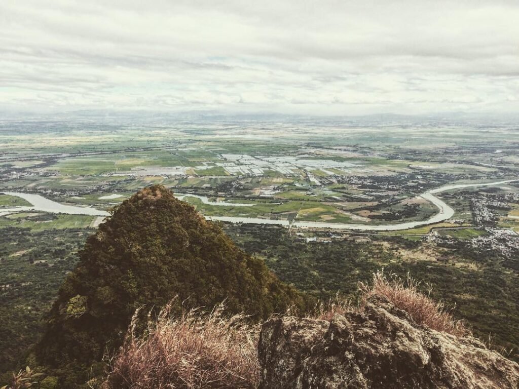
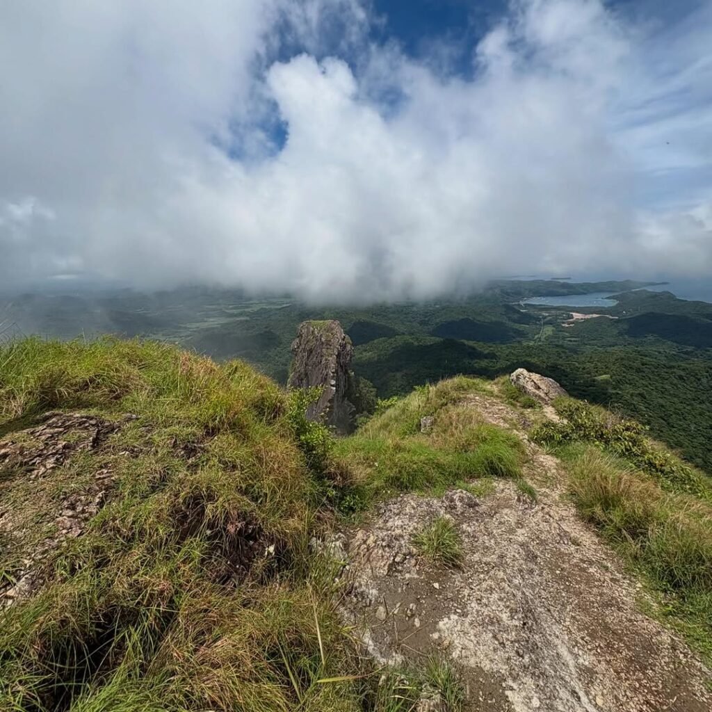
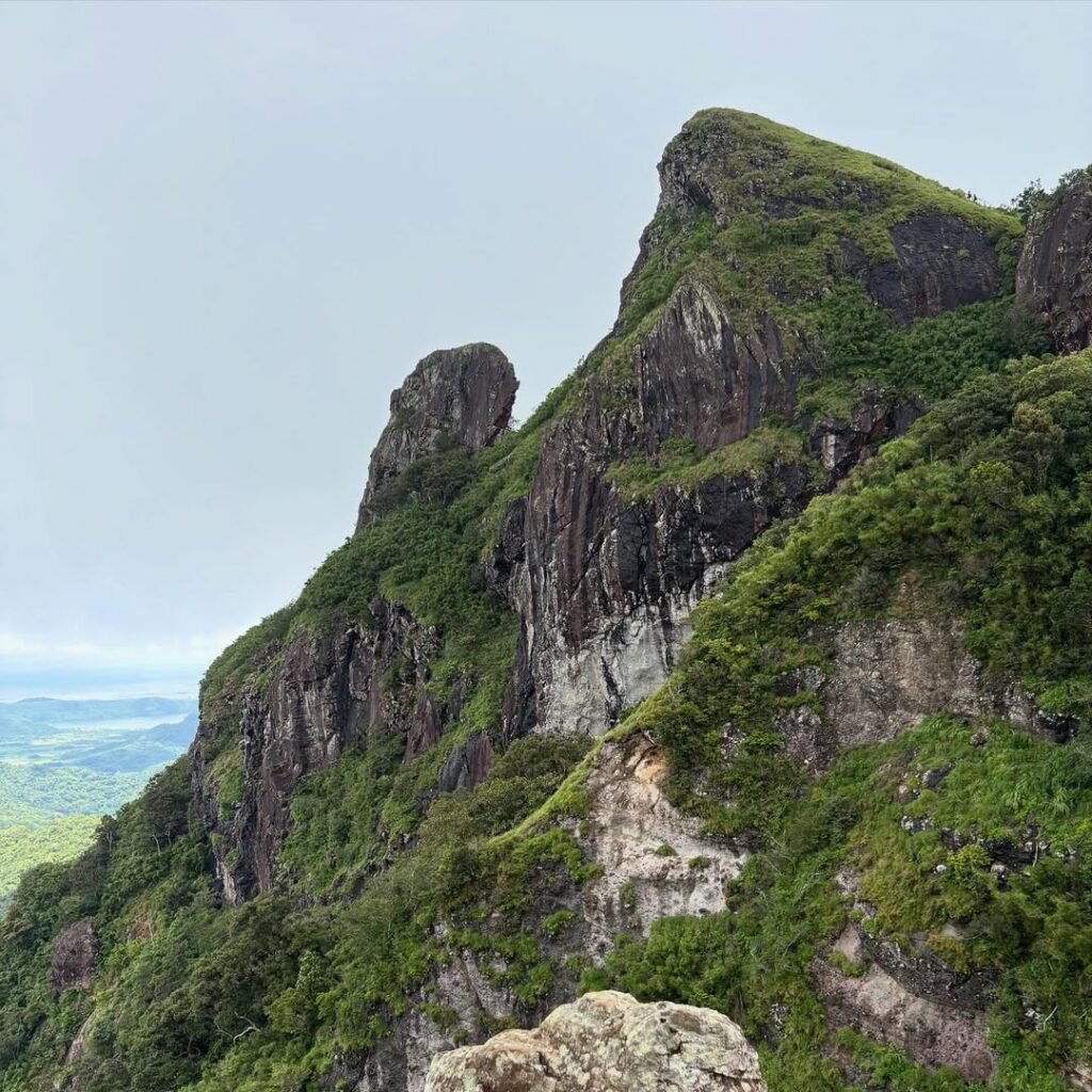
From the Summit View Deck, you get a 360-degree view of Cavite, Corregidor Island, Manila Bay, Limbones Cove, and the coastline toward Nasugbu, Batangas. The dark rock spire of the Monolith rises just beyond the deck. It is also called the Parrot’s Beak, and it is the defining image of the mountain.
As of 2026, the Monolith (Parrot’s Beak) is closed to climbing due to geological instability. You can photograph it from the Summit View Deck, but the land bridge and the rock spire itself are off-limits under DENR-PAMO rules. The day that changes, it will almost certainly need a separate advance booking.
There is no water source on the trail. Bring at least 1.5 to 2 liters per person.
Mobile signal is non-existent on most of the trail, including near the summit. Download your offline maps before you leave the house, and screenshot your booking QR code, your driver’s number, and any emergency contacts before you start the climb.
Porters are not part of the standard guided setup at PAMO. CHECK: confirm porter availability and rate with DENR-PAMO directly before publishing.
The summit elevation is stated as 664 MASL on DENR signs at the view deck, and that is the figure used throughout this guide. Some geographic databases list the true peak at a slightly higher point. If you need the exact topographic summit figure, check with PAMO directly.
What to Bring
The 600–650 m elevation gain and the long concrete staircase section make packing choices matter more than the difficulty rating suggests.
Footwear is the most important call. Wear cushioned trail running shoes with good grip. Stiff trekking boots cause blisters on the concrete surface and are not the right tool for this trail.
Bring 1.5 to 2 liters of water per person. There is no water anywhere on the trail.
For the lower elevations, wear arm sleeves or light trekking pants. The bamboo foliage and mosquitoes in the forest approach are reason enough, and you will feel the difference.
Bring trekking poles if you have them. The descent, especially with the 600–650 m of elevation to give back on concrete steps, puts real strain on the knees. Poles make the down manageable.
Round out your pack with sun protection (the Summit View Deck is fully exposed), ready-to-eat food (no cooking allowed on the mountain), a small first aid kit, and a power bank. Download your offline maps at home. Signal is gone for most of the hike.
Rules, Schedule, and Quota
The mountain is open Wednesday to Saturday only. The trail opens at 5:00 AM and closes strictly at 3:00 PM.
All hikers must be back at the DENR Station before that cutoff. The daily limit is 90 hikers, and the manifest is locked the moment that number is reached online.
These rules are enforced at the gate by the Protected Area Management Office (PAMO), the DENR office that manages the protected landscape:
- No walk-ins. The PAMO security checkpoint cross-references every hiker against the printed online manifest.
- No overnight camping. The hike is structured as a day trip only; the old campsite area along the trail is a rest stop, not a sleeping area.
- Minimum age: 17 years old. Bring a valid ID if you are close to that age.
- No pets allowed on the trail.
- No alcohol, no CHECK: confirm whether DENR-PAMO rule says “bladed weapons,” “sharp weapons,” or another specific term rather than “deadly weapons”, no smoking, and no vaping inside the mountain.
- No cooking on the trail. All food must be ready to eat before you start. This means pack your lunch at home or at your accommodation before you leave for the jump-off. The sari-sari store at the base sells water and snacks but it is not the place to prepare a full meal.
- Stay on the concrete trail at all times. Shortcuts and new paths are prohibited.
- Pack out everything you brought in. Leave No Trace is strictly enforced by the assigned guide.
- The old cross trail to Nasugbu, Batangas is permanently closed. All hikes start and end at the Ternate DENR Station.
- In an emergency, tell your guide right away. Guides carry two-way radios to contact the DENR-PAMO base station, so help can be coordinated from the mountain. Do not try to handle a medical situation or a lost-hiker situation on your own.
One important note that does not appear on most booking pages: the trail can close without advance notice after a typhoon or during habagat (southwest monsoon) conditions when the natural rock near the summit becomes dangerous. A closure ran from 21 August to 12 September 2026 after typhoon damage.
If a typhoon has passed in the week before your planned hike, email PAMO at admin@mppmngnp.com to confirm the trail is open before you book transport.
Sample Day Hike Itinerary
This timeline works for hikers coming from Metro Manila by public transport and assumes a trail open day with a 6:30 AM gate arrival.
| Time | What happens |
|---|---|
| 4:00–4:30 AM | Depart Metro Manila; board bus at PITX bound for Ternate, Cavite |
| 6:00–6:30 AM | Arrive Ternate Bus Terminal; board tricycle to DENR jump-off (30–45 min) |
| 6:30 AM | Arrive at DENR Station gate; present QR code and valid ID |
| 6:30–7:15 AM | Watch the mandatory 15-minute environmental orientation video; get assigned your guide |
| 7:30 AM | Start trek through the dipterocarp forest |
| 8:15 AM | First major rest stop; first view of the Monolith from a distance |
| 9:00 AM | Reach the old campsite and bamboo area; good rest point with open views |
| 9:30 AM | Arrive at Summit View Deck, 664 MASL; photos, snacks, 360-degree views |
| 10:30 AM | Begin descent |
| 12:00 PM | Back at DENR Station; wash up at shower stalls (₱10–₱20) |
| 12:30 PM | Lunch at the sari-sari stores at the base or wait for your tricycle |
| 1:30–2:00 PM | Depart for Manila |
Private vehicle drivers can shave about 30 to 45 minutes off the morning travel time and should target a 6:00 AM arrival at the parking area on Saturdays. If you are combining this with other hikes in the region, the Nasugbu Trilogy guide covers how Pico de Loro fits into a multi-peak plan across the Cavite-Batangas corridor.
Best Time to Hike Mt. Pico de Loro
The best time to hike Mt. Pico de Loro is during amihan season, roughly October to May. Amihan is the cool northeast wind that sweeps Luzon through the dry months. Skies stay clear, the concrete trail drains quickly after overnight rain, and the Summit View Deck gives you the full 360-degree panorama stretching toward Corregidor and the Nasugbu coastline.
I would think twice before going during habagat season, June to September. Habagat is the southwest monsoon that brings heavy rain to most of the country. The concrete staircases stay manageable in light rain, but the natural rock section near the summit gets slippery enough to be dangerous without technical gear.
Typhoons can trigger a full trail closure with no advance warning, as happened in August 2026. If you need to hike during the wet months, go on a clear weekday and check the PAGASA bulletin the day before.
Whatever the season, leave Manila by 4:00 to 4:30 AM. That puts you at the gate by 6:30 AM. The summit is exposed, and afternoon heat on those concrete staircases hits much harder than the cool morning forest air. Starting early also gives you room to linger at the top before the descent crowd builds.
There is no formally announced seasonal closure beyond typhoon suspensions. If a trail advisory has been issued, PAMO posts updates and responds to email at admin@mppmngnp.com.
Nearby Hikes Worth Pairing
Pico de Loro sits inside the same Cavite-Batangas hiking corridor as several other accessible peaks, making it easy to plan a weekend that covers more than one mountain.
Mt. Batulao is the closest comparable neighbor. It is also a beginner-to-intermediate peak in Nasugbu, Batangas CHECK: confirm whether the jump-off is in Nasugbu proper or an adjacent barangay.
It offers a longer ridge cross and different open terrain from Pico de Loro’s forested approach. It is the natural pairing for hikers who want contrast between the two.
Mt. Talamitam in the same Nasugbu cluster is shorter and faster, often done as a morning hike before an afternoon activity. Its grassland summit and 360-degree view make it a good warm-up peak for anyone who wants to test their fitness before committing to the Pico de Loro staircase.
Mt. Marami in Maragondon, Cavite stays within Cavite province and runs a more rugged trail profile than Pico de Loro. It suits anyone who finds Difficulty 3 comfortable and wants to step up. It is logistically in the same direction from Manila, so it works as either a replacement or a follow-up on a separate weekend.
Frequently Asked Questions
Can I just show up at the DENR Station without a booking?
No. Walk-ins are strictly prohibited. The security checkpoint at the DENR Station holds a printed manifest from the online booking system.
If your name is not on it, you will be turned away regardless of how far you traveled. Book at mppmngnp.com at least 2–3 weeks in advance.
What happens if the 90-hiker quota fills before I finish paying?
Your slot is only confirmed once payment is complete. If you start a booking but do not finish payment, the slot is released and another hiker can take it. When slots are nearly full, complete payment in the same session rather than saving it for later.
Is the Mt. Pico de Loro Monolith climbable in 2026?
No. The Monolith, also called Parrot’s Beak, is a rock spire near the summit that is closed to climbing due to geological instability. CHECK: verified height of the Monolith in feet or meters You can see it clearly from the Summit View Deck and take photos from there, but the land bridge and the spire itself are off-limits under current DENR-PAMO rules.
Is there drinking water available on the Mt. Pico de Loro trail?
There are no reliable water sources on the trail. The sari-sari stores at the DENR base sell bottled water and sports drinks, but once you start hiking there is nothing until you return. Bring at least 1.5 to 2 liters per person before you step onto the trail.
What is the mobile signal like on the trail and at the summit?
Signal is generally present on the lower sections of the trail but becomes weak to absent near the Summit View Deck. Screenshot your booking QR code, your tricycle driver’s number, and any emergency contacts before leaving Manila. In an emergency on the trail, your guide carries a two-way radio to contact the DENR base station.
Can I bring my dog on the hike?
No. Pets are not permitted on the trail. This is a firm DENR rule, not a suggestion, and it is checked at the gate before you start.
What is the minimum age to hike Mt. Pico de Loro?
The minimum age is 17 years old. Bring a valid ID if you or anyone in your group is close to that age, as park officers check at registration.
What payment methods does the mppmngnp.com portal accept?
The booking portal accepts:
- GCash
- Maya
- Major bank transfers via Instapay or Dragonpay (BPI, BDO, UnionBank, and others)
- Visa, Mastercard, or PayPal debit and credit cards
Payment must be completed online before your visit, there is no cash payment option for the entrance fee at the gate.
What is the Mt. Pico de Loro hiking schedule for 2026?
The mountain operates Wednesday to Saturday only, with the trail opening at 5:00 AM and the last entry cutoff at 3:00 PM. The Wednesday to Thursday schedule was revised after the 2023 reopening, and some dates have run Friday to Saturday only. Confirm current operating days with PAMO at admin@mppmngnp.com before booking midweek transport.
Is Mt. Pico de Loro Worth It?
Mt. Pico de Loro is worth the early alarm and the two-hour drive. Know what you are signing up for — a short, structured climb with a clear endpoint — and it delivers. It has a striking rock spire you can no longer climb and a summit view that is one of the better ones this close to Manila.
I stood at the Summit View Deck in October 2026 with Corregidor visible to the north and the Nasugbu coastline stretching south, and thought the same thing I thought on my first visit in 2023: this view works. The Monolith rising just beyond the deck is dramatic without needing to be climbed. The trail is clean, the guide system functions, and the 3 PM closure means you are back in Manila before dinner.
Go if you are:
- A first-time hiker looking for a trail with structure and real views
- A returning hiker warming up after a long break
- A small group wanting a day out that does not need a 3:00 AM departure
- Someone who wants a reliable mountain that will not surprise them badly
Skip it if you are:
- Looking for a technical climb or an overnight experience
- Hoping to summit the Monolith (it is closed and there is no indication of when that changes)
- Bringing a child under 17 or a pet
- Planning to walk in without a reservation
The ₱500 flat guide fee, split across five people, makes the total cost per head one of the lowest for any guided mountain near Manila. For non-hikers in your group who would rather explore the province than climb, the broader Batangas tourist spots guide covers what is nearby on the Batangas side of the border for a parallel day trip.
Sorting out the booking slot is the only part that takes planning. After that, the mountain does the rest. Get your slot, leave Manila by 4:30 AM, and the rest of it takes care of itself.