Gulugod Baboy Mabini Batangas is a Trail Class 1 to 2 mountain rated 2 out of 9 on the local mountaineering difficulty scale. It has three peaks reaching up to 525 meters above sea level (MASL). The trail is roughly 4.1 kilometers out and back from the coastal jump-off.
I’ve been hiking around the Philippines since 2015, covering 69 of the 82 provinces. I returned to Gulugod Baboy in October 2026 to update this guide. It now includes current fees, trail conditions, and the vehicle access route that most older articles still miss.
The mountain sits on the Calumpang Peninsula. Its name comes straight from what the ridge looks like from below:
- “gulugod” means spine
- “baboy” means pig
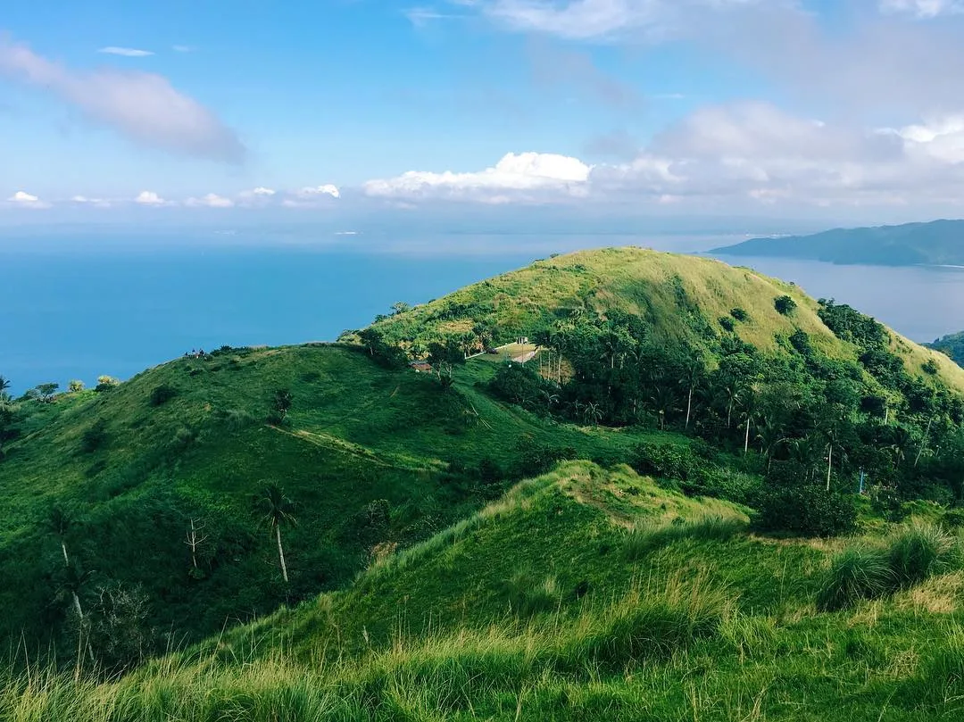
- The cogon grassland ridge does look exactly like the back of a hog
Key Takeaways
- Trail class 1 to 2, difficulty 2/9. Three peaks: Gulugod Baboy Peak (470 MASL), Gitna Peak (485 MASL), and Pinagbanderahan, the true summit, at 525 MASL.
- Ascent takes 2 to 3 hours from the Philpan Dive Resort jump-off; the descent takes 1.5 to 2 hours. From the upper parking lot, it is a 10 to 15-minute walk to the campsite.
- Fees stack up: registration (₱50–₱70 day hike, ₱100 overnight), landowner toll (₱30), guide fee (₱500–₱1,000 per group depending on size and trip type), plus parking and pitching fees if you drive or camp.
- Guides are mandatory for first-time visitors. Walk-in registration only, no online booking. Bring cash in small bills because digital payment does not exist on the mountain.
- You can drive most of the way. A paved access road leads to an upper parking lot just below the campsite. This changes the hike entirely for families, elderly visitors, and heavy-gear campers.
- Fares are as of October 12, 2026. Fares here follow diesel and gas prices. Bus from Manila to Batangas City costs ₱170–₱300 one way; jeepney onward to Mabini costs ₱40–₱70.
Table of Contents
Mt. Gulugod Baboy Location and Jump-Off Point
Mt. Gulugod Baboy sits in the municipality of Mabini, Batangas, on the Calumpang Peninsula, facing the Verde Island Passage. The barangay is Ligaya, also known as the Anilao area, and the standard jump-off is the Tourist Help Center beside Philpan Dive Resort. The GPS coordinates for Philpan Dive Resort will get you directly to the gate.
When American and Philippine forces liberated Batangas in April 1945, they raised their own flags on the same peak. The name “Gulugod Baboy” technically refers to the first peak at 470 MASL, but the whole ridge, all three peaks together, is marketed and known by that name.
Expect some confusion on competing sites that list the elevation anywhere from 470 to 566 MASL. The correct figures for the three peaks are 470 (Gulugod Baboy), 485 (Gitna), and 525 (Pinagbanderahan).
One detail most older articles skip: a separate paved vehicular road also leads to an upper parking lot just below the campsite. Visitors who are elderly, traveling with children, or hauling heavy camping gear use this route and skip the full ascent entirely. The registration desk and the Mabini tourism office are the right contacts for directions to this upper road.
Mount Gulugod Baboy is a Trail Class 1 to 2 mountain in Mabini, Batangas, on the Calumpang Peninsula, with three peaks along its ridge reaching up to 525 meters above sea level.
How to Get to Mt. Gulugod Baboy from Manila
Fares as of October 12, 2026.
Mt. Gulugod Baboy is roughly 105 kilometers from Manila. You have two routes: private vehicle or public transit. Either way, the destination is Barangay Ligaya in Mabini, Batangas, at the Philpan Dive Resort jump-off.
The route follows SLEX south to the STAR Tollway. It then exits at Batangas City and takes the Diversion Road toward the Palico-Balayan-Batangas Road.
From there, it follows the Bauan-Mabini circumferential road to the Philpan jump-off. Toll costs for a Class 1 vehicle break down as follows.
| Route Segment | Expressway | Class 1 Toll |
|---|---|---|
| Balintawak to Buendia | Skyway Stage 3 | ₱264 |
| Magallanes to Calamba | SLEX | ₱126 |
| Calamba to Sto. Tomas | SLEX | ₱34 |
| Sto. Tomas to Batangas City | STAR Tollway | ₱113 |
| Total one-way (from Makati area) | ₱273 |
A standard sedan averaging 12 km/L burns roughly 10 liters one way, about ₱502 to ₱679 at the pump. Parking at the lower jump-off costs ₱100 per vehicle; the upper campsite parking lot is ₱200 per vehicle per day.
Groups can also book chartered transport through the Batangas Tourist and Transport Service Cooperative (BTTSC), which runs DOT-accredited Nissan NV350 Urvans and Toyota Hi-Ace Commuters. The route is practical for groups of four or more because tolls and fuel split well.
By Public Transit
The three-phase journey runs from Manila to Batangas City Grand Terminal by bus, then a provincial jeepney to Mabini, then a tricycle to the jump-off.
| Phase | Route | Duration | Fare |
|---|---|---|---|
| Bus | Buendia / Cubao / Alabang to Batangas City Grand Terminal | 2–3.5 hours | ₱170–₱300 |
| Jeepney | Batangas Grand Terminal (rear section, near food stalls) to Mabini or Anilao Port | 40–60 minutes | ₱40–₱70 |
| Tricycle | Anilao Port / Mabini junction to Philpan jump-off | 15–20 minutes | ₱40–₱50 shared / ₱150–₱200 chartered |
Jeepneys for Mabini depart from the rear section of the Batangas Grand Terminal, near the food stalls. Charter the tricycle for ₱150 to ₱200 for a direct ride to Philpan or the upper parking lot.
One critical timing rule for day hikers: jeepneys from Anilao back to Batangas Grand Terminal stop running between 7:00 PM and 8:00 PM. If you miss the last jeepney, hire a tricycle to the Bauan junction for about ₱400 per group and catch late-night passenger jeeps from there.
By public transit, every Mt. Gulugod Baboy direction takes me from Manila to the Batangas City Grand Terminal by bus. From the rear section of the terminal, I take a provincial jeepney to Mabini or Anilao Port. From there, a tricycle goes to the jump-off.
Getting to Mt. Gulugod Baboy by car from Manila covers roughly 105 kilometers via SLEX, the STAR Tollway, and the Bauan-Mabini circumferential road. One-way tolls are about ₱273 for a Class 1 vehicle from the Makati area. A paved access road leads directly to an upper parking lot just below the campsite.
Sedans, SUVs, and 4×4 vehicles can park there for ₱200 per vehicle per day. This reduces the hike to just 10 to 15 minutes on foot.
Trail Profile: Elevation, Distance, and Difficulty
The Gulugod Baboy hike covers roughly 4.1 to 4.2 kilometers out and back from the Philpan Dive Resort jump-off. It climbs from sea level to 525 MASL at the summit, for a total elevation gain of about 525 meters. Trail Class is 1 to 2, difficulty rating is 2 out of 9, placing it firmly in beginner-to-intermediate range.
Stage 1: Jump-off to Forest Entry (0–30 min)
The trail starts as a steep paved concrete road beside Philpan and local residences. The sustained incline brings on heavy breathing fast if you haven’t warmed up. Small sari-sari stores line this section, the last place to buy water before the exposed ridge.
Stage 2: Forest to Grassland Transition (30–60 min)
The concrete gives way to a narrow compacted-earth path through secondary forest. The soil is clay-heavy: in dry conditions it grips well, but for 24 to 36 hours after any rain it becomes dangerously slippery on the descent.
I came down a muddy Stage 2 in October 2026 and the clay stuck to my soles like it was trying to keep my shoes. Without aggressive-lugged trekking shoes, the descent is hazardous here.
Stage 3: The Open Ridge (60–120 min)
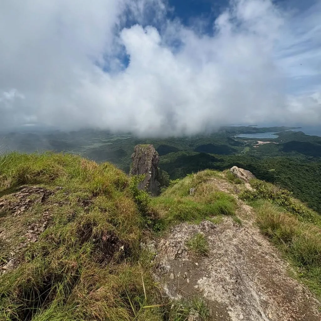
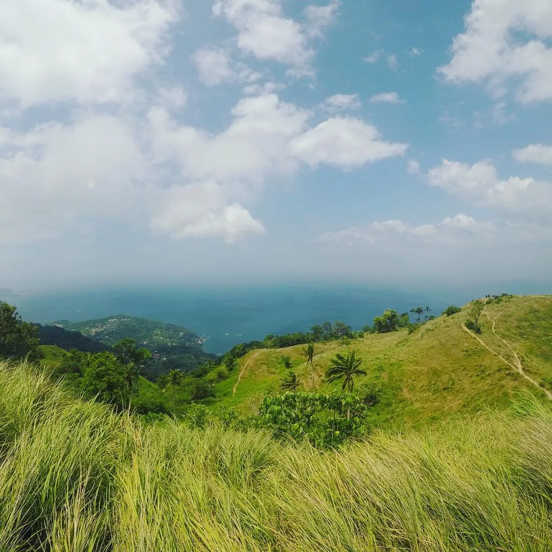
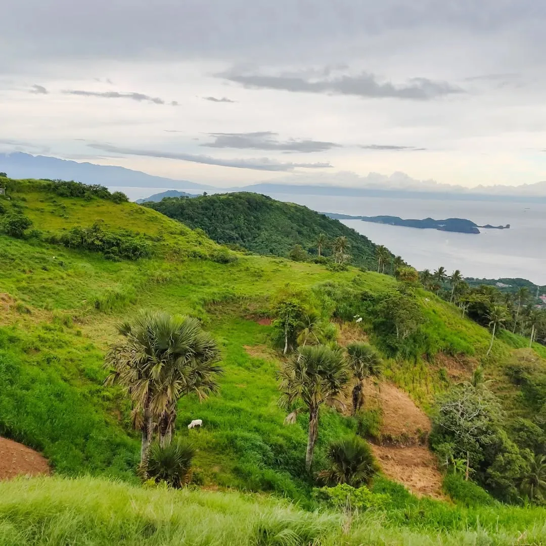
This is the “backbone” the mountain’s name describes. The cogon grassland has zero shade, and wind off the Verde Island Passage is consistent and often strong.
Dehydration and heat exhaustion are the real risks here, not the grade. Start early or bring an umbrella.
Stage 4: Summit Approach to Campsite (120–150 min)
The path is well-worn and easy to follow.
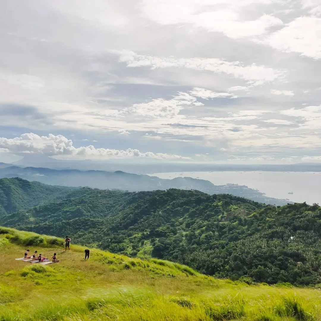
The summit plateau is flat enough for many tents and offers a full 360-degree view:
- The Verde Island Passage and Mindoro to the west
- Mt. Maculot to the east
- Sombrero Island visible off the coast
From the lot just below the campsite, it is a 10 to 15-minute walk to the summit marker. This route is used by families, elderly visitors, and campers with heavy gear.
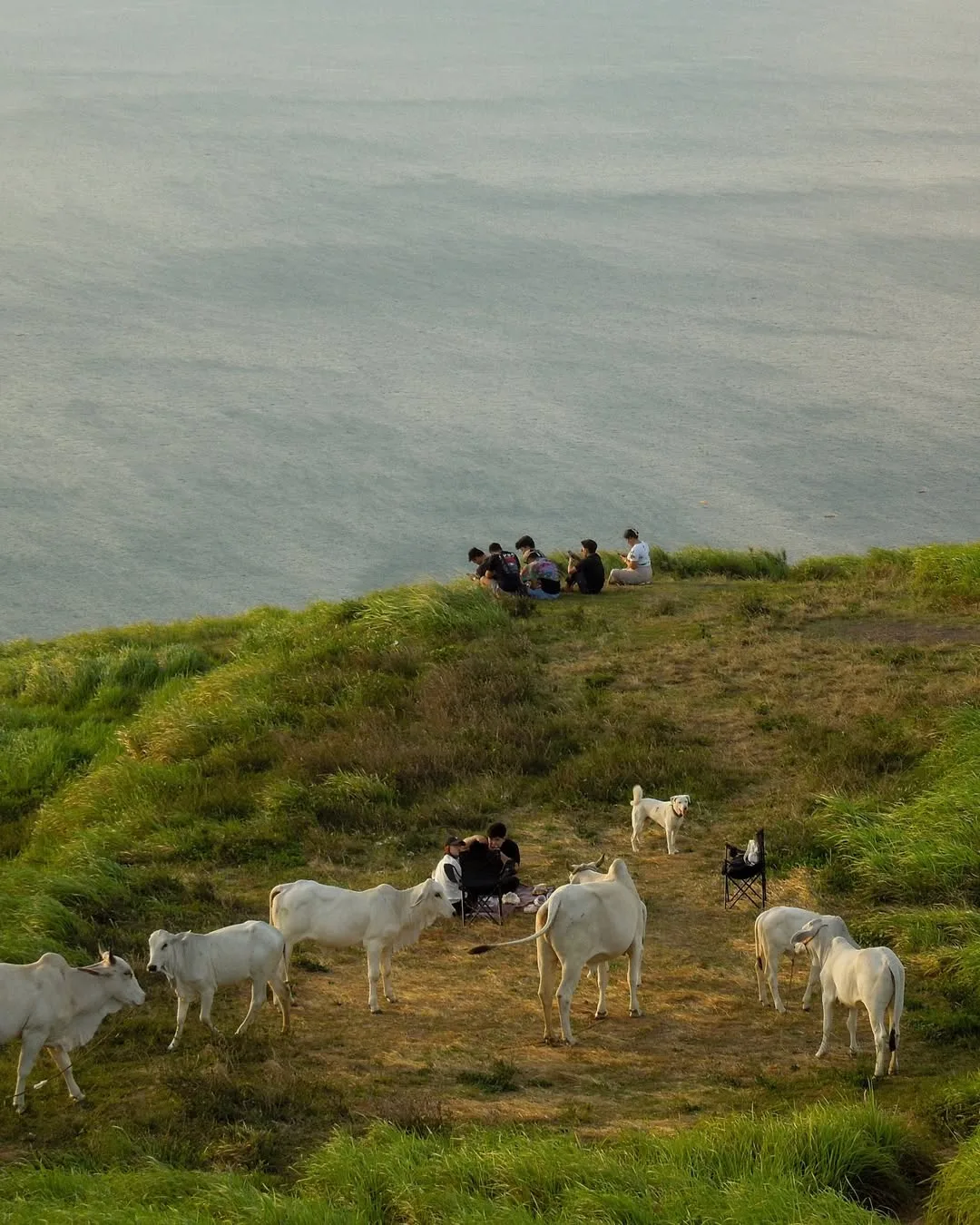
Cows and cow dung are present on the upper grassy slopes. Watch your step.
Trail Marking and Navigation
Trail markings exist but are inconsistent. Guides are mandatory for first-time visitors, which removes any navigation concern. If you have done beginner-friendly hikes in the Philippines before, the difficulty here is comparable to those lower-grade trails in dry conditions and one step harder after rain.
Permits, Fees, and Guide Rates at Mt. Gulugod Baboy
Mt. Gulugod Baboy has four separate fees, not one. Most older guides lump them into a vague range that misses the landowner toll entirely.
Pay all of them at or near the Tourist Help Center beside Philpan Dive Resort before you start climbing. Bring exact small-denomination bills because there is no GCash or any digital payment anywhere on the mountain.
The kuya at the registration desk in October 2026 collected the environmental fee and issued a receipt on the spot. The landowner toll is collected separately by local caretakers near the summit, where portions of the campsite sit on private land.
| Fee | Amount |
|---|---|
| Registration / environmental fee (day hike) | ₱50–₱70 per person |
| Registration / environmental fee (overnight) | ₱100 per person |
| Landowner toll (collected near summit) | ₱30 per person |
| Campsite pitching fee (overnight) | ₱60–₱80 per person |
| Tent rental from local vendors (optional) | ₱250–₱300 per tent |
| Parking at lower jump-off (Tourist Assistance Center) | ₱100 per vehicle |
| Parking at upper campsite lot | ₱200 per vehicle per day |
| Shower and restroom at jump-off after descent | ₱20–₱25 per person |
Guide fees are mandatory for first-time visitors. The rate depends on group size and trip type.
| Guide fee | Rate |
|---|---|
| Day hike, 1 to 4 people | ₱500 per group |
| Day hike, 5 to 8 people | ₱700 per group |
| Overnight camping | ₱800–₱1,000 per group |
Porters are also available at the jump-off for ₱500 per day hike or ₱800 for overnight, with a maximum load of 15 kilograms per porter. This is separate from the guide fee.
Walk-in registration is the only system in place. There is no online booking portal and no daily visitor quota.
The registration desk opens as early as 4:00 AM to 5:00 AM to accommodate sunrise hikers. The cut-off for day hikers to begin their ascent is 2:00 PM to 3:00 PM so everyone descends before dark.
For large group coordination or municipal-level questions, the Mabini Municipal Mayor’s Office can be reached at (043) 410-1543. The Batangas tourism office posts updates on closures and trail conditions when severe weather is active.
Best Time to Hike Mt. Gulugod Baboy
November through May is the best window for the Gulugod Baboy hike. The dry season keeps the clay in Stage 2 firm and Stage 3 visibility over the Verde Island Passage at its clearest.
The amihan (northeast monsoon wind) also makes the ridge cooler and more comfortable to linger on. December through February gives the best temperatures on the exposed grassland.
June through October brings the habagat (southwest monsoon). The clay in Stage 2 stays slippery for 24 to 36 hours after any rain, making the descent the riskiest part of the whole trip. I was on the trail in October 2026, which is late wet season.
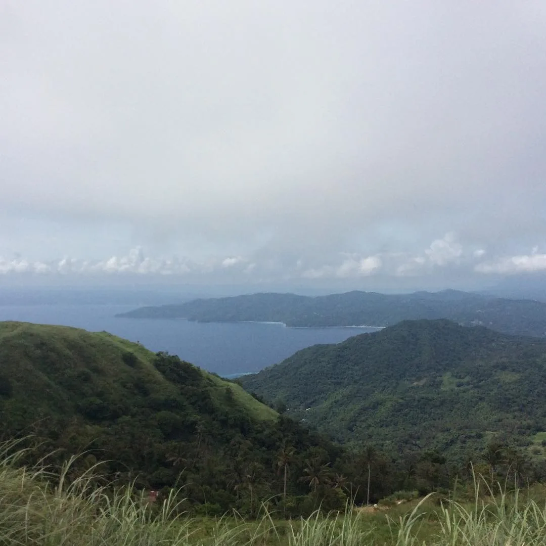
The clay sections on the way down demanded slow, deliberate foot placement even with proper trekking shoes. The upper grassland in Stage 3 turns deep green in the wet season and the views can still be good. Cloud cover rolls in from the sea, though, and you can lose the summit panorama entirely.
The mountain has no official scheduled closure season. The local barangay and tourism office will halt treks without advance notice during typhoons, heavy monsoon rains, or severe weather. Check with the Mabini MDRRMO (Municipal Disaster Risk Reduction and Management Office) at (043) 487-0873 or 0915-201-6244 before going during storm season.
Lightning on the exposed summit ridge is a real risk. The cogon grass on the upper slopes is also highly flammable in dry months. This is why open campfires are prohibited.
Avoid Holy Week, Christmas break, and national long weekends if you want the campsite to yourself. The flat summit plateau reaches full capacity during these periods and late arrivals pitch on sloping ground. A weekday climb or a very early Saturday start, leaving the jump-off before 5:00 AM, gives you the summit largely to yourself.
Day Hike vs. Overnight: Sample Itineraries
Both the day hike and overnight itinerary work well at Gulugod Baboy. The choice usually comes down to how much the sunset and sunrise views from the ridge matter to you.
Day hike from Manila (by public transit)
| Time | What happens |
|---|---|
| 4:00–5:00 AM | Depart Buendia / Cubao by bus |
| 7:00–8:30 AM | Arrive Batangas City Grand Terminal; board jeepney for Mabini |
| 8:30–9:30 AM | Arrive Anilao / Mabini; tricycle to Philpan jump-off |
| 9:30–10:00 AM | Register, pay fees, meet guide |
| 10:00 AM–12:30 PM | Ascent to Pinagbanderahan summit (2–3 hours) |
| 12:30–2:00 PM | Summit time, lunch, descent begins |
| 2:00–4:00 PM | Descent (1.5–2 hours), shower at jump-off |
| 4:00–4:30 PM | Board last jeepney to Batangas Grand Terminal (cut-off 7:00–8:00 PM) |
| 7:30–9:00 PM | Back in Manila |
Day hikers on public transit must be off the mountain and at the jeepney stop before 7:00 PM. Do not cut this close.
Overnight itinerary
- Arrive at the jump-off by 2:00 to 3:00 PM on day one, register, and climb in the afternoon.
- Reach the summit plateau by late afternoon. Set up camp before sunset.
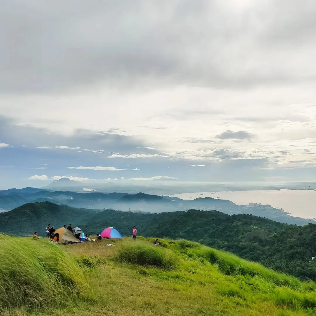
- The campsite at Pinagbanderahan is wide and flat enough for many tents, with a 360-degree view of the Passage, Mindoro, and Sombrero Island directly offshore.
- Go down after sunrise on day two and be at the jeepney stop by mid-morning.
Water is the one thing you cannot source on the mountain above Stage 1. There are no springs, no running water, and no potable refill stations at the campsite. Small sari-sari stores sell bottled water and drinks in Stage 1, and there are vendors near the summit selling drinks and cup noodles.
Still, carry at least 2 to 3 liters per person from the jump-off for a day hike and more for overnight. Do not rely on the summit vendors being stocked.
Cell signal is strong at the base and in the lower stages near the coastal towers. It degrades on the upper slopes and is unreliable to non-existent at the campsite. Tell someone your plan before you go.
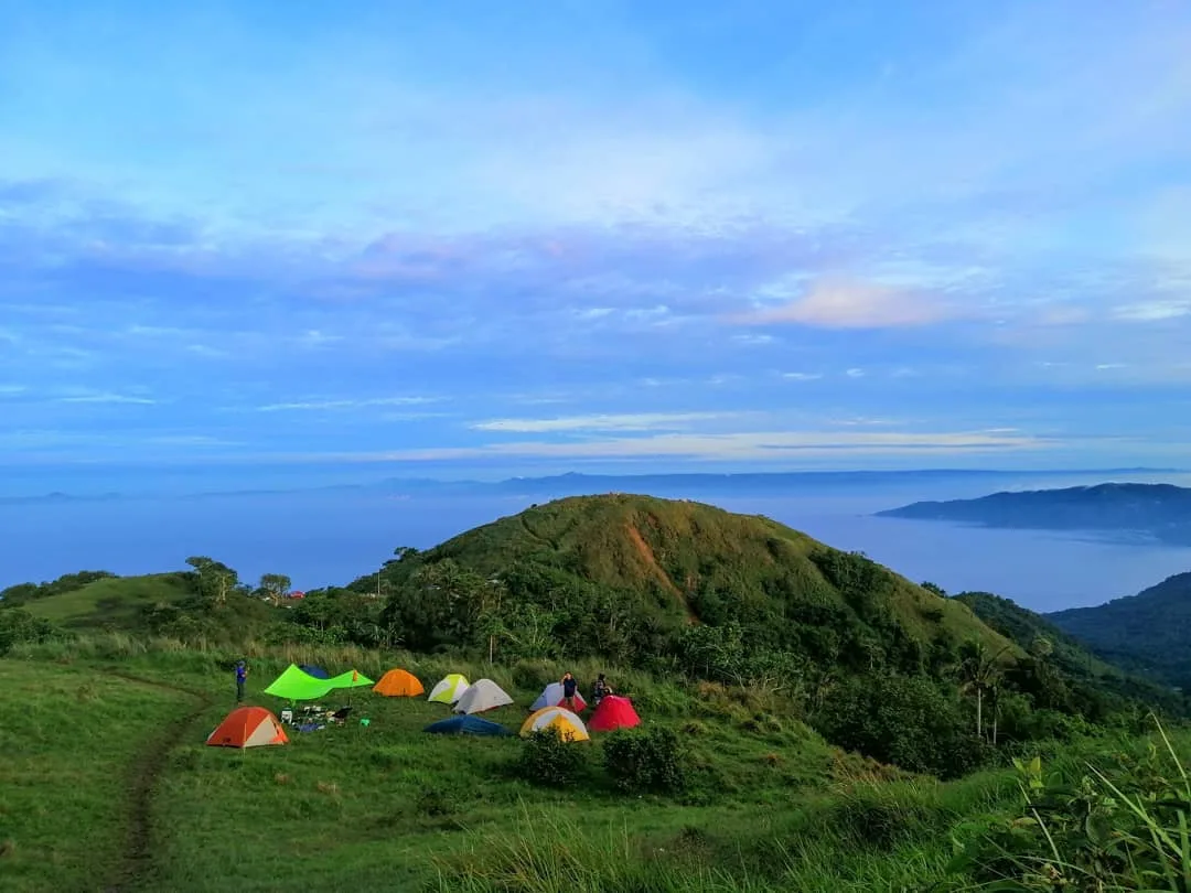
Each Mt. Gulugod campsite picture shows the wide, flat summit plateau of Pinagbanderahan at 525 MASL with a 360-degree view of the Verde Island Passage, Mindoro, and Sombrero Island.
What to Bring to Mt. Gulugod Baboy
Pack light if you are hiking the full trail from Philpan. Pack anything if you are driving to the upper parking lot. The four trail stages each demand something different.
For the full hike-in route:
- Trekking shoes with aggressive lugs. Stage 2 clay is the one piece of gear that will ruin your descent if you get it wrong. Trail runners with shallow treads are not enough after any rain.
- At least 2 to 3 liters of water per person for a day hike. More for overnight and for the wet season.
- UPF-rated long-sleeve shirt, wide-brimmed hat, and sunblock for Stage 3. An umbrella is not excessive here and most local hikers carry one.
- Trekking poles for the descent, especially on the clay section.
- Insect repellent for dusk at the campsite.
- Small-denomination cash. No GCash, no ATM, no exceptions.
Additional overnight items:
- A four-season or wind-rated tent with heavy-duty stakes and guy lines. The campsite wind in October 2026 was strong enough to shake tent poles through the night. A standard beach tent will fail here. I watched one collapse on the neighbor group by midnight.
- Warm layer for December through February nights.
- Portable butane stove. Open campfires are banned because of the dry cogon grass.
- All your trash comes back down with you. The municipality enforces Leave No Trace rules and prohibits single-use plastic bags in line with local ordinances.
For families or groups using the upper parking road, the gear list simplifies. You can bring a heavy cooler, a bigger tent, and all the comforts you want because the walk from the lot to the summit is only 10 to 15 minutes.
Nearby Hikes and Add-On Destinations
Gulugod Baboy sits in a highly active hiking cluster in Batangas. After your descent, the obvious next move is to go straight into the water because Anilao is right at the base of the mountain. The Verde Island Passage here is recognized as the most biodiverse marine corridor on the planet.
Divers pay a ₱200 sanctuary fee per day on top of resort charges. Non-divers can island-hop to Sombrero Island, visible directly from the Pinagbanderahan summit. A boat charter runs ₱2,500 to ₱4,000, and the island entrance fee is ₱150 to ₱200 per person.
For a quieter beach option after the hike, Masasa Beach in Tingloy, Batangas is a short boat ride from Mabini and is far less crowded than the main dive resort strip. On the drive back toward Manila, the Monte Maria Shrine in Batangas makes a natural stop if your group wants to break the journey.
If you want a harder climb in the same province, Mt. Batulao sits northwest in Nasugbu and is a solid step up in difficulty from Gulugod Baboy. For a Cavite-Batangas border challenge, Mt. Pico de Loro stands among the more rewarding day hike destinations in the region.
The Nasugbu trilogy packages three nearby peaks into one itinerary for hikers who want to maximize a Batangas weekend. Mt. Talamitam is another beginner-grade Batangas peak worth pairing with Gulugod Baboy if you have an extra day.
Frequently Asked Questions About Mt. Gulugod Baboy
Is a guide required at Mt. Gulugod Baboy?
Yes, guides are mandatory for first-time visitors, enforced at the Tourist Help Center registration desk.
The fee depends on group size and trip type:
- ₱500 per group for a day hike with one to four people
- ₱700 for five to eight people
- ₱800 to ₱1,000 for an overnight trip
Hiring a guide also supports the local community economy directly.
Can you drive to the campsite at Mt. Gulugod Baboy?
Yes. A paved access road leads to an upper parking lot just below the campsite. Sedans, SUVs, and 4×4 vehicles can use it, though the hairpin turns need a careful driver.
From the lot, the walk to the summit marker is 10 to 15 minutes. Parking costs ₱200 per vehicle per day. This is how families with young children and elderly visitors access the summit.
How many peaks does Mt. Gulugod Baboy have?
Three. The ridge runs from Gulugod Baboy Peak at 470 MASL to Gitna Peak at 485 MASL, then up to the true summit, Pinagbanderahan, at 525 MASL. The 566-meter figure that appears on some older pages is wrong.
Is there water on the trail?
No natural water source exists on the trail or at the summit. Sari-sari stores in Stage 1 sell water, and vendors near the campsite sometimes sell cold drinks and cup noodles, but supply is not guaranteed. Carry at least 2 to 3 liters per person from the jump-off, more for overnight stays.
Is Mt. Gulugod Baboy good for beginners?
Yes, if you have basic fitness and proper footwear. Trail class is 1 to 2, difficulty is rated 2 out of 9, and the distance is short at about 4.1 kilometers out and back.
The exposed grassland in Stage 3 demands an early start to avoid peak heat and UV. Anyone who walks regularly and has done at least one uphill walk before can complete this.
Can kids or elderly visitors climb Mt. Gulugod Baboy?
Those who cannot do the full two-hour ascent can reach the summit via the vehicle access road. The 10 to 15-minute walk from the upper parking lot is flat enough for most people.
For the full trail from Philpan, older children and fit teenagers handle it well. The clay descent in wet conditions is the one real risk for anyone with knee or ankle concerns.